7800 Watson Rd Saint Louis, MO 63119
Estimated Value: $1,269,000
1
Bed
--
Bath
10,238
Sq Ft
$124/Sq Ft
Est. Value
About This Home
This home is located at 7800 Watson Rd, Saint Louis, MO 63119 and is currently estimated at $1,269,000, approximately $123 per square foot. 7800 Watson Rd is a home located in St. Louis County with nearby schools including Mesnier Primary School, Gotsch Intermediate School, and Rogers Middle School.
Ownership History
Date
Name
Owned For
Owner Type
Purchase Details
Closed on
Apr 20, 1999
Sold by
Bhakta Shantilal B and Bhakta Sumila S
Bought by
Wayside Motel Inc
Current Estimated Value
Home Financials for this Owner
Home Financials are based on the most recent Mortgage that was taken out on this home.
Original Mortgage
$240,000
Outstanding Balance
$60,519
Interest Rate
6.99%
Mortgage Type
Commercial
Estimated Equity
$1,208,481
Create a Home Valuation Report for This Property
The Home Valuation Report is an in-depth analysis detailing your home's value as well as a comparison with similar homes in the area
Home Values in the Area
Average Home Value in this Area
Purchase History
| Date | Buyer | Sale Price | Title Company |
|---|---|---|---|
| Wayside Motel Inc | -- | -- |
Source: Public Records
Mortgage History
| Date | Status | Borrower | Loan Amount |
|---|---|---|---|
| Open | Wayside Motel Inc | $240,000 |
Source: Public Records
Tax History Compared to Growth
Tax History
| Year | Tax Paid | Tax Assessment Tax Assessment Total Assessment is a certain percentage of the fair market value that is determined by local assessors to be the total taxable value of land and additions on the property. | Land | Improvement |
|---|---|---|---|---|
| 2025 | $27,508 | $276,900 | $150,370 | $126,530 |
| 2024 | $27,508 | $250,510 | $120,290 | $130,220 |
| 2023 | $27,205 | $250,510 | $120,290 | $130,220 |
| 2022 | $25,719 | $221,160 | $120,290 | $100,870 |
| 2021 | $25,320 | $221,160 | $120,290 | $100,870 |
| 2020 | $29,419 | $250,270 | $120,290 | $129,980 |
| 2019 | $29,241 | $250,270 | $120,290 | $129,980 |
| 2018 | $28,242 | $234,030 | $120,290 | $113,740 |
| 2017 | $28,176 | $234,030 | $120,290 | $113,740 |
| 2016 | $26,830 | $234,250 | $120,290 | $113,960 |
| 2015 | $26,873 | $234,250 | $120,290 | $113,960 |
| 2014 | $20,393 | $176,370 | $140,430 | $35,940 |
Source: Public Records
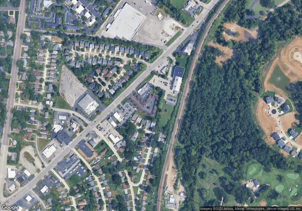
Map
Nearby Homes
- 7936 Radnor Dr
- 739 Hurstgreen Rd
- 6804 Snowy Owl Ln
- 6843 Preservation Pkwy
- 6730 Snowy Owl Ln
- 6819 Preservation Pkwy
- 6830 Preservation Pkwy
- 7101 Fernbrook Dr
- 6728 Preservation Pkwy
- 6724 Preservation Pkwy
- 6714 Snowy Owl Ln
- 6712 Preservation Pkwy
- 7412 Snowy Owl Ct
- Magnolia Plan at The Preserve - Designer Collection
- Wyatt Plan at The Preserve - Designer Collection
- Calvin Plan at The Preserve - Designer Collection
- Ivy Plan at The Preserve - Designer Collection
- Avery Plan at The Preserve - Designer Collection
- Olive Plan at The Preserve - Designer Collection
- Charles Plan at The Preserve - Designer Collection
- 7920 Radnor Dr
- 7924 Radnor Dr
- 1112 Oak Knoll Manor Ct
- 1120 Oak Knoll Manor Ct
- 1126 Oak Knoll Manor Ct
- 7928 Radnor Dr
- 1108 Oak Knoll Manor Ct
- 1132 Oak Knoll Manor Ct
- 7932 Radnor Dr
- 963 Oak Knoll Manor Dr
- 7830 Watson Rd
- 955 Oak Knoll Manor Dr
- 1144 Oak Knoll Manor Ct
- 7836 Watson Rd
- 7911 Radnor Dr
- 1109 Oak Knoll Manor Ct
- 1157 Oak Knoll Manor Ct
- 1157 Oak Knoll Manor Ct
- 7927 Radnor Dr