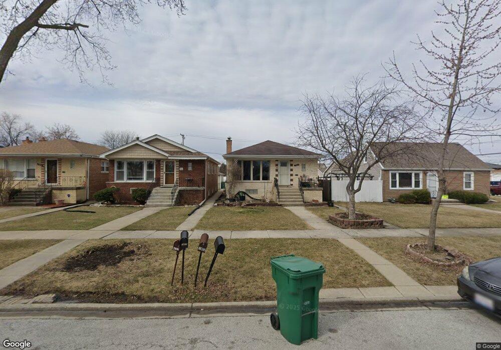
7804 Latrobe Ave Burbank, IL 60459
Estimated Value: $252,000 - $302,000
3
Beds
1
Bath
1,056
Sq Ft
$272/Sq Ft
Est. Value
About This Home
This home is located at 7804 Latrobe Ave, Burbank, IL 60459 and is currently estimated at $287,339, approximately $272 per square foot. 7804 Latrobe Ave is a home located in Cook County with nearby schools including J.B. Kennedy Elementary School, Reavis High School, and St Albert the Great Catholic School.
Ownership History
Date
Name
Owned For
Owner Type
Purchase Details
Closed on
Oct 16, 2002
Sold by
Hopkins Joseph D and Hopkins Karen L
Bought by
Trejo Victor M
Current Estimated Value
Home Financials for this Owner
Home Financials are based on the most recent Mortgage that was taken out on this home.
Original Mortgage
$85,000
Interest Rate
6.1%
Mortgage Type
Stand Alone First
Create a Home Valuation Report for This Property
The Home Valuation Report is an in-depth analysis detailing your home's value as well as a comparison with similar homes in the area
Home Values in the Area
Average Home Value in this Area
Purchase History
| Date | Buyer | Sale Price | Title Company |
|---|---|---|---|
| Trejo Victor M | -- | -- |
Source: Public Records
Mortgage History
| Date | Status | Borrower | Loan Amount |
|---|---|---|---|
| Closed | Trejo Victor M | $85,000 |
Source: Public Records
Tax History Compared to Growth
Tax History
| Year | Tax Paid | Tax Assessment Tax Assessment Total Assessment is a certain percentage of the fair market value that is determined by local assessors to be the total taxable value of land and additions on the property. | Land | Improvement |
|---|---|---|---|---|
| 2024 | $5,797 | $22,001 | $3,506 | $18,495 |
| 2023 | $5,056 | $22,001 | $3,506 | $18,495 |
| 2022 | $5,056 | $16,533 | $3,044 | $13,489 |
| 2021 | $4,871 | $16,532 | $3,044 | $13,488 |
| 2020 | $4,781 | $16,532 | $3,044 | $13,488 |
| 2019 | $4,976 | $17,319 | $2,767 | $14,552 |
| 2018 | $4,833 | $17,319 | $2,767 | $14,552 |
| 2017 | $4,693 | $17,319 | $2,767 | $14,552 |
| 2016 | $3,300 | $11,863 | $2,306 | $9,557 |
| 2015 | $4,096 | $14,697 | $2,306 | $12,391 |
| 2014 | $3,991 | $14,697 | $2,306 | $12,391 |
| 2013 | $3,728 | $15,031 | $2,306 | $12,725 |
Source: Public Records
Map
Nearby Homes
- 7810 S Lockwood Ave
- 5304 W 79th St
- 7701 Latrobe Ave
- 5120 W 79th St
- 7840 Leclaire Ave
- 5116 W 79th St
- 7714 Lawler Ave
- 7927 Lotus Ave
- 7707 Linder Ave
- 5002 W 79th St
- 7714 Lavergne Ave
- 7657 Lawler Ave
- 7650 Lavergne Ave
- 7832 Lamon Ave
- 8026 Linder Ave
- 5009 Briartree Ln Unit 317
- 5023 W 81st St
- 7814 Major Ave
- 8218 Linder Ave
- 7840 Massasoit Ave
- 7806 Latrobe Ave
- 7800 Latrobe Ave
- 7800 Latrobe Ave
- 7808 Latrobe Ave
- 7814 Latrobe Ave
- 7816 Latrobe Ave
- 7805 Lockwood Ave
- 7803 Lockwood Ave
- 7801 Lockwood Ave
- 7815 Lockwood Ave
- 7815 Lockwood Ave
- 7817 Lockwood Ave
- 7756 Latrobe Ave
- 7756 Latrobe Ave
- 7824 Latrobe Ave
- 7821 Lockwood Ave
- 7807 Latrobe Ave
- 7807 Latrobe Ave
- 7803 Latrobe Ave
- 7803 Latrobe Ave