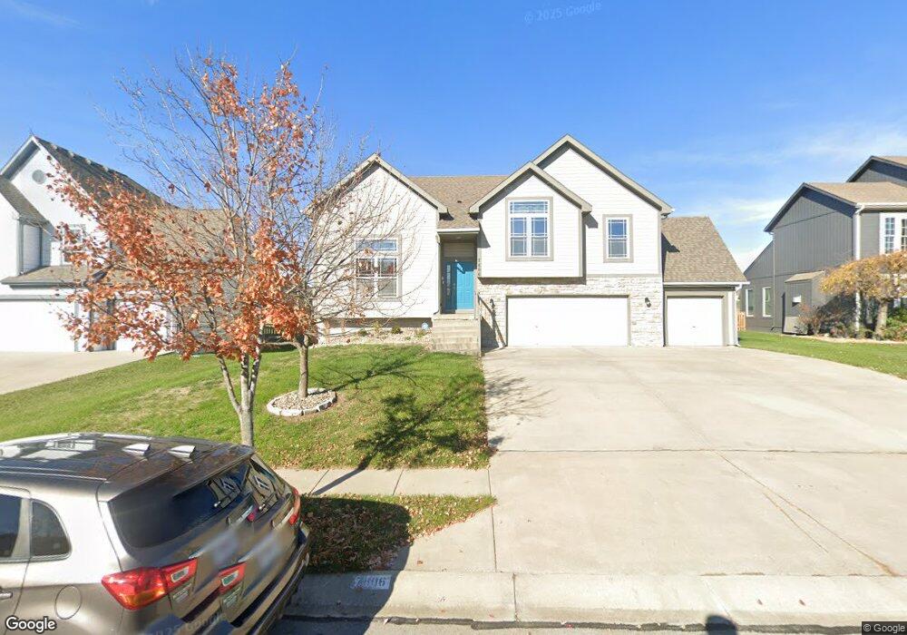
7806 NE 112th St Kansas City, MO 64157
Northland NeighborhoodEstimated Value: $407,000 - $478,000
3
Beds
3
Baths
2,576
Sq Ft
$167/Sq Ft
Est. Value
About This Home
This home is located at 7806 NE 112th St, Kansas City, MO 64157 and is currently estimated at $430,732, approximately $167 per square foot. 7806 NE 112th St is a home located in Clay County with nearby schools including Kellybrook Elementary School, South Valley Middle School, and Liberty North High School.
Ownership History
Date
Name
Owned For
Owner Type
Purchase Details
Closed on
Aug 27, 2021
Sold by
Rolter Donald A and Rolter Nancy J
Bought by
Stankowitz James and Stankowitz Lynda
Current Estimated Value
Home Financials for this Owner
Home Financials are based on the most recent Mortgage that was taken out on this home.
Original Mortgage
$299,404
Outstanding Balance
$272,435
Interest Rate
2.8%
Mortgage Type
VA
Estimated Equity
$158,297
Purchase Details
Closed on
Feb 21, 2007
Sold by
K C Home Solutions Inc
Bought by
Roller Donald A and Roller Nancy J
Create a Home Valuation Report for This Property
The Home Valuation Report is an in-depth analysis detailing your home's value as well as a comparison with similar homes in the area
Home Values in the Area
Average Home Value in this Area
Purchase History
| Date | Buyer | Sale Price | Title Company |
|---|---|---|---|
| Stankowitz James | -- | Atc | |
| Roller Donald A | -- | Thomson Title Corporation |
Source: Public Records
Mortgage History
| Date | Status | Borrower | Loan Amount |
|---|---|---|---|
| Open | Stankowitz James | $299,404 |
Source: Public Records
Tax History Compared to Growth
Tax History
| Year | Tax Paid | Tax Assessment Tax Assessment Total Assessment is a certain percentage of the fair market value that is determined by local assessors to be the total taxable value of land and additions on the property. | Land | Improvement |
|---|---|---|---|---|
| 2025 | $4,370 | $57,510 | -- | -- |
| 2024 | $4,370 | $52,230 | -- | -- |
| 2023 | $4,409 | $52,230 | $0 | $0 |
| 2022 | $4,505 | $51,640 | $0 | $0 |
| 2021 | $4,524 | $51,642 | $6,650 | $44,992 |
| 2020 | $4,508 | $48,830 | $0 | $0 |
| 2019 | $4,430 | $48,830 | $0 | $0 |
| 2018 | $4,317 | $46,740 | $0 | $0 |
| 2017 | $4,061 | $46,740 | $6,650 | $40,090 |
| 2016 | $4,061 | $44,820 | $6,650 | $38,170 |
| 2015 | $4,057 | $44,820 | $6,650 | $38,170 |
| 2014 | $3,899 | $42,830 | $6,650 | $36,180 |
Source: Public Records
Map
Nearby Homes
- 7905 NE 112th St
- 8002 NE 111th Terrace
- 11236 N Randolph Ave
- 11246 N Randolph Ave
- 10930 N Randolph Ave
- 11134 N Bristol Ave
- 11457 Auburndale Cir
- 11440 Auburndale Cir
- 11432 Auburndale Cir
- 11437 Auburndale Cir
- 11016 N Crystal Ave
- 7501 NE 109th Terrace
- 11420 N Auburndale Cir
- 7919 NE 109th Ct
- 11025 N Bristol Ave
- 11031 N Bristol Ave
- 11019 N Bristol Ave
- 11017 N Bristol Ave
- 11110 N Bristol Ave
- 11006 N Bristol Ave
- 7804 NE 112th St
- 7808 NE 112th St
- 11215 N Richmond Ct
- 7802 NE 112th St
- 9307 NE 111th Terrace
- 9303 NE 111th Terrace
- 9209 NE 111th Terrace
- 9205 NE 111th Terrace
- 9426 NE 111th Terrace
- 11211 N Richmond Ct
- 7805 NE 112th St
- 7803 NE 112th St
- 7807 NE 112th St
- 11219 N Richmond Ct
- 7900 NE 112th St
- 11203 N Manchester Ave
- 11125 N Manchester Ave
- 11207 N Manchester Ave
- 7901 NE 112th St
- 11216 N Richmond Ct