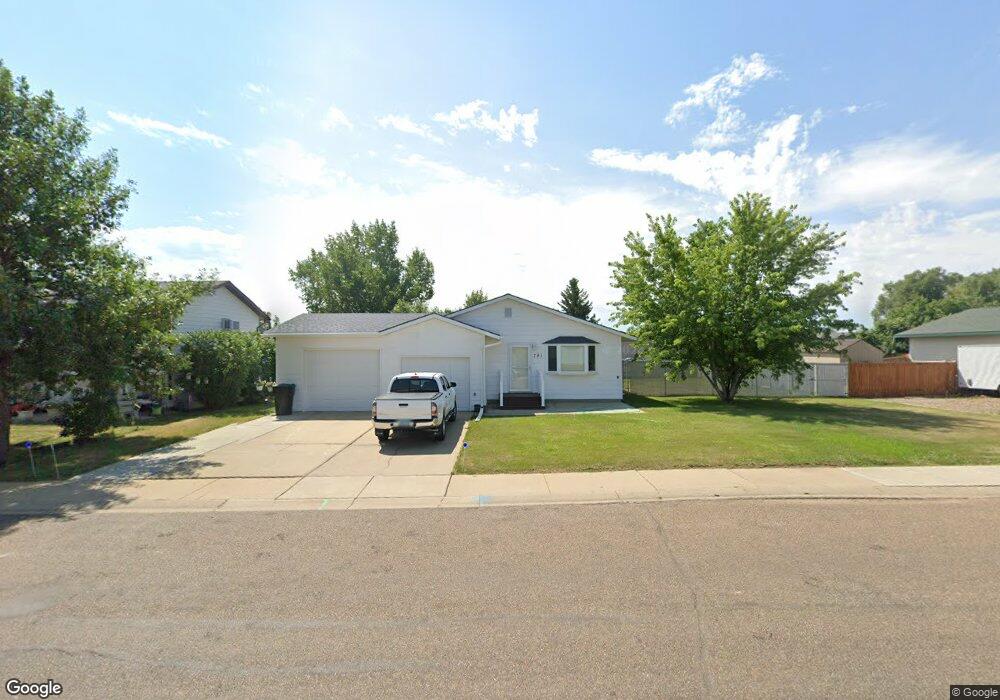
781 29th St W Dickinson, ND 58601
Estimated Value: $286,000 - $316,000
3
Beds
1
Bath
944
Sq Ft
$319/Sq Ft
Est. Value
About This Home
This home is located at 781 29th St W, Dickinson, ND 58601 and is currently estimated at $301,545, approximately $319 per square foot. 781 29th St W is a home located in Stark County with nearby schools including Hope Christian Academy.
Ownership History
Date
Name
Owned For
Owner Type
Purchase Details
Closed on
Nov 26, 2008
Sold by
Kolling Pamela Jean
Bought by
Kolling Pamela and Pamela Kolling Living Trust
Current Estimated Value
Purchase Details
Closed on
Jun 27, 2008
Sold by
Plummer Keith
Bought by
Kolling Pamela Jean
Purchase Details
Closed on
Aug 3, 2005
Sold by
Herz Jessie M and Herz Sheila K
Bought by
Barth David J
Home Financials for this Owner
Home Financials are based on the most recent Mortgage that was taken out on this home.
Original Mortgage
$64,300
Interest Rate
5.71%
Mortgage Type
New Conventional
Create a Home Valuation Report for This Property
The Home Valuation Report is an in-depth analysis detailing your home's value as well as a comparison with similar homes in the area
Home Values in the Area
Average Home Value in this Area
Purchase History
| Date | Buyer | Sale Price | Title Company |
|---|---|---|---|
| Kolling Pamela | -- | None Available | |
| Kolling Pamela Jean | -- | None Available | |
| Barth David J | -- | None Available | |
| Barth David J | -- | Dickinson Title Co |
Source: Public Records
Mortgage History
| Date | Status | Borrower | Loan Amount |
|---|---|---|---|
| Previous Owner | Barth David J | $64,300 |
Source: Public Records
Tax History
| Year | Tax Paid | Tax Assessment Tax Assessment Total Assessment is a certain percentage of the fair market value that is determined by local assessors to be the total taxable value of land and additions on the property. | Land | Improvement |
|---|---|---|---|---|
| 2025 | $694 | $184,400 | $34,900 | $149,500 |
| 2024 | $2,270 | $184,400 | $34,900 | $149,500 |
| 2023 | $1,819 | $184,400 | $34,900 | $149,500 |
| 2022 | $1,732 | $87,050 | $0 | $0 |
| 2021 | $1,700 | $165,300 | $34,900 | $130,400 |
| 2020 | $1,724 | $165,300 | $34,900 | $130,400 |
| 2019 | $1,729 | $165,300 | $34,900 | $130,400 |
| 2017 | $1,656 | $171,800 | $34,900 | $136,900 |
| 2015 | $1,656 | $189,200 | $33,200 | $156,000 |
| 2014 | $1,746 | $184,600 | $33,200 | $151,400 |
| 2013 | -- | $178,600 | $33,200 | $145,400 |
Source: Public Records
Map
Nearby Homes
- 860 27th St W
- 0 29th St W
- 901 25th St W
- 836 24th St W
- 1037 Jerry Ln
- 671 24th St W
- 1118 Wahl St
- 1119 Jerry Ln
- 0 L16 B14 Koch 4th Unit 25-312
- 2758 Country Oak Dr
- 1067 Wahl St
- 1093 Wahl St
- 0 6th Ave W Unit 26-16
- 0 6th Ave W Unit 25-375
- 3230 Cody Dr
- 0 Tbd (Lot 6) Marilyn Way
- 0 40th St L3e49ftl2b3
- 1814 #1 Prairie Ave
- 3351 Calvin Dr
- 3451 Calvin Dr
Your Personal Tour Guide
Ask me questions while you tour the home.