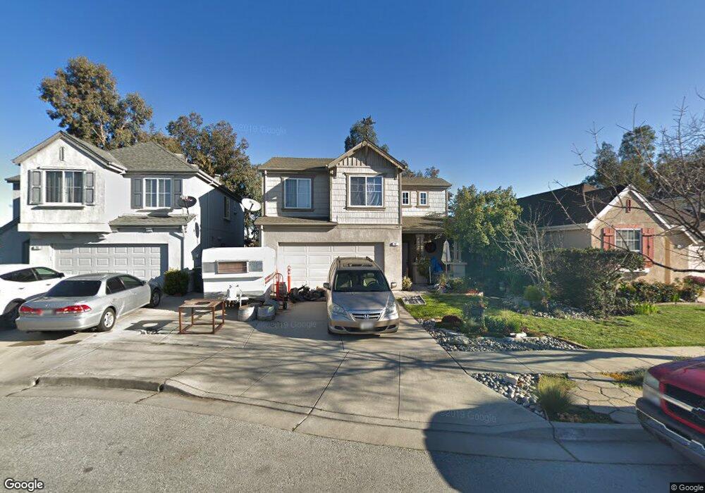
781 Tatum Ave Gilroy, CA 95020
Las Animas NeighborhoodEstimated Value: $796,000 - $925,000
4
Beds
3
Baths
1,422
Sq Ft
$592/Sq Ft
Est. Value
About This Home
This home is located at 781 Tatum Ave, Gilroy, CA 95020 and is currently estimated at $842,058, approximately $592 per square foot. 781 Tatum Ave is a home located in Santa Clara County with nearby schools including South Valley Middle School, Solorsano Middle School, and Christopher High School.
Ownership History
Date
Name
Owned For
Owner Type
Purchase Details
Closed on
Sep 25, 2007
Sold by
Wilson Dawn M and Wilson Richard B
Bought by
Beck Steven D and Beck Sonya
Current Estimated Value
Home Financials for this Owner
Home Financials are based on the most recent Mortgage that was taken out on this home.
Original Mortgage
$239,800
Outstanding Balance
$152,827
Interest Rate
6.61%
Mortgage Type
Purchase Money Mortgage
Estimated Equity
$689,231
Purchase Details
Closed on
Apr 14, 2000
Sold by
Kern Avenue Group Llc
Bought by
Wilson Richard B and Wilson Dawn M
Home Financials for this Owner
Home Financials are based on the most recent Mortgage that was taken out on this home.
Original Mortgage
$187,219
Interest Rate
8.26%
Mortgage Type
FHA
Create a Home Valuation Report for This Property
The Home Valuation Report is an in-depth analysis detailing your home's value as well as a comparison with similar homes in the area
Home Values in the Area
Average Home Value in this Area
Purchase History
| Date | Buyer | Sale Price | Title Company |
|---|---|---|---|
| Beck Steven D | $343,000 | Chicago Title Company | |
| Wilson Richard B | $270,000 | Chicago Title Co |
Source: Public Records
Mortgage History
| Date | Status | Borrower | Loan Amount |
|---|---|---|---|
| Open | Beck Steven D | $239,800 | |
| Previous Owner | Wilson Richard B | $187,219 | |
| Closed | Wilson Richard B | $86,900 |
Source: Public Records
Tax History
| Year | Tax Paid | Tax Assessment Tax Assessment Total Assessment is a certain percentage of the fair market value that is determined by local assessors to be the total taxable value of land and additions on the property. | Land | Improvement |
|---|---|---|---|---|
| 2025 | $5,451 | $449,982 | $183,882 | $266,100 |
| 2024 | $5,451 | $441,160 | $180,277 | $260,883 |
| 2023 | $5,417 | $432,511 | $176,743 | $255,768 |
| 2022 | $5,326 | $424,031 | $173,278 | $250,753 |
| 2021 | $5,300 | $415,718 | $169,881 | $245,837 |
| 2020 | $5,241 | $411,457 | $168,140 | $243,317 |
| 2019 | $5,191 | $403,391 | $164,844 | $238,547 |
| 2018 | $4,848 | $395,482 | $161,612 | $233,870 |
| 2017 | $4,947 | $387,729 | $158,444 | $229,285 |
| 2016 | $4,842 | $380,128 | $155,338 | $224,790 |
| 2015 | $4,569 | $374,419 | $153,005 | $221,414 |
| 2014 | $4,538 | $367,085 | $150,008 | $217,077 |
Source: Public Records
Map
Nearby Homes
- 9190 Avezan Way
- 735 Painter Ct
- 9400 Benbow Dr
- 500 Ronan Ave
- 1165 Lerma Ln
- 119 Farrell Ave
- 103 Farrell Ave
- 111 Farrell Ave
- 9358 Lone Deer Way
- 9554 Rodeo Dr
- 777 Lawrence Dr
- 1206 Sycamore Ct
- 1320 Heritage Way
- 170 Sturla Way
- 1404 Casablanca Cir
- 118 Chickadee Ln
- 1080 Sunrise Dr
- 1392 Mantelli Dr
- 401 Arnold Dr
- 8400 Delta Dr
Your Personal Tour Guide
Ask me questions while you tour the home.