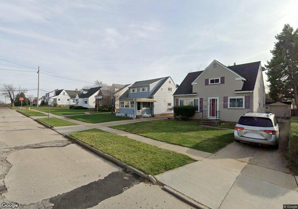
7811 Liberty Ave Cleveland, OH 44129
Estimated Value: $165,602 - $185,000
3
Beds
1
Bath
1,092
Sq Ft
$159/Sq Ft
Est. Value
About This Home
This home is located at 7811 Liberty Ave, Cleveland, OH 44129 and is currently estimated at $173,401, approximately $158 per square foot. 7811 Liberty Ave is a home located in Cuyahoga County with nearby schools including Ridge-Brook Elementary School, Greenbriar Middle School, and Parma High School.
Ownership History
Date
Name
Owned For
Owner Type
Purchase Details
Closed on
Feb 18, 2010
Sold by
Kovach Patricia R
Bought by
Mccoy Karen A
Current Estimated Value
Purchase Details
Closed on
May 23, 2007
Sold by
Kovach Patricia R
Bought by
Kovach Patricia R and Patricia R Kovach Revocable Living Trust
Purchase Details
Closed on
Aug 7, 1990
Sold by
Chambers Douglas A
Bought by
Kovach Patricia R
Purchase Details
Closed on
Apr 21, 1986
Sold by
Chamers Douglas A
Bought by
Chambers Douglas A
Purchase Details
Closed on
Oct 2, 1980
Sold by
Malek Dorothy M
Bought by
Chamers Douglas A
Purchase Details
Closed on
Jan 1, 1975
Bought by
Malek Dorothy M
Create a Home Valuation Report for This Property
The Home Valuation Report is an in-depth analysis detailing your home's value as well as a comparison with similar homes in the area
Home Values in the Area
Average Home Value in this Area
Purchase History
| Date | Buyer | Sale Price | Title Company |
|---|---|---|---|
| Mccoy Karen A | $45,400 | Attorney | |
| Kovach Patricia R | -- | Attorney | |
| Kovach Patricia R | $60,000 | -- | |
| Chambers Douglas A | -- | -- | |
| Chamers Douglas A | $42,000 | -- | |
| Malek Dorothy M | -- | -- |
Source: Public Records
Tax History Compared to Growth
Tax History
| Year | Tax Paid | Tax Assessment Tax Assessment Total Assessment is a certain percentage of the fair market value that is determined by local assessors to be the total taxable value of land and additions on the property. | Land | Improvement |
|---|---|---|---|---|
| 2024 | $2,464 | $48,475 | $9,940 | $38,535 |
| 2023 | $2,010 | $35,840 | $8,190 | $27,650 |
| 2022 | $2,015 | $35,840 | $8,190 | $27,650 |
| 2021 | $2,068 | $35,840 | $8,190 | $27,650 |
| 2020 | $1,674 | $27,580 | $6,300 | $21,280 |
| 2019 | $1,578 | $78,800 | $18,000 | $60,800 |
| 2018 | $1,422 | $27,580 | $6,300 | $21,280 |
| 2017 | $1,399 | $23,940 | $4,410 | $19,530 |
| 2016 | $1,392 | $23,940 | $4,410 | $19,530 |
| 2015 | $2,034 | $23,940 | $4,410 | $19,530 |
| 2014 | $2,034 | $25,480 | $4,690 | $20,790 |
Source: Public Records
Map
Nearby Homes
- 7707 Liberty Ave
- 8206 Newport Ave
- 8018 Pinegrove Ave
- 8119 Pinegrove Ave
- 6606 Theota Ave
- 6211 Luelda Ave
- 6508 Delora Ave
- 9118 Fernhill Ave
- 6014 Laverne Ave
- 6306 Flowerdale Ave
- 7609 Wooster Pkwy
- 5906 Velma Ave
- 6011 Theota Ave
- 5810 Laverne Ave
- 6209 Archmere Ave
- 9417 Fernhill Ave
- 6025 Northcliff Ave
- 4739 Ridge Rd
- 5717 Chestnut Dr
- 5901 Delora Ave
- 7807 Liberty Ave
- 7903 Liberty Ave
- 7803 Liberty Ave
- 7907 Liberty Ave
- 7810 Newport Ave
- 7911 Liberty Ave
- 7806 Newport Ave
- 7902 Newport Ave
- 7802 Newport Ave
- 7906 Newport Ave
- 7719 Liberty Ave
- 7910 Newport Ave
- 7810 Liberty Ave
- 7902 Liberty Ave
- 7806 Liberty Ave
- 7802 Liberty Ave
- 7906 Liberty Ave
- 7914 Newport Ave
- 7919 Liberty Ave
- 7718 Newport Ave