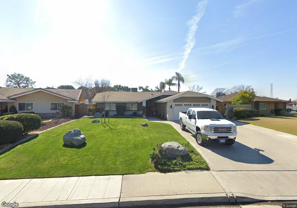
7813 Carol Sue Ct Bakersfield, CA 93308
Fruitvale NeighborhoodEstimated Value: $415,000 - $476,000
3
Beds
2
Baths
1,499
Sq Ft
$296/Sq Ft
Est. Value
About This Home
This home is located at 7813 Carol Sue Ct, Bakersfield, CA 93308 and is currently estimated at $443,514, approximately $295 per square foot. 7813 Carol Sue Ct is a home located in Kern County with nearby schools including Olive Drive Elementary School, Norris Middle School, and Centennial High School.
Ownership History
Date
Name
Owned For
Owner Type
Purchase Details
Closed on
May 22, 2007
Sold by
Mitacek Suzi J and Mitacek Frank
Bought by
Mitacek Frank and Mitacek Suzi J
Current Estimated Value
Home Financials for this Owner
Home Financials are based on the most recent Mortgage that was taken out on this home.
Original Mortgage
$200,000
Interest Rate
6.12%
Mortgage Type
New Conventional
Create a Home Valuation Report for This Property
The Home Valuation Report is an in-depth analysis detailing your home's value as well as a comparison with similar homes in the area
Home Values in the Area
Average Home Value in this Area
Purchase History
| Date | Buyer | Sale Price | Title Company |
|---|---|---|---|
| Mitacek Frank | -- | Alliance Title Company |
Source: Public Records
Mortgage History
| Date | Status | Borrower | Loan Amount |
|---|---|---|---|
| Closed | Mitacek Frank | $200,000 |
Source: Public Records
Tax History Compared to Growth
Tax History
| Year | Tax Paid | Tax Assessment Tax Assessment Total Assessment is a certain percentage of the fair market value that is determined by local assessors to be the total taxable value of land and additions on the property. | Land | Improvement |
|---|---|---|---|---|
| 2025 | $3,774 | $275,524 | $78,084 | $197,440 |
| 2024 | $3,701 | $270,123 | $76,553 | $193,570 |
| 2023 | $3,701 | $264,828 | $75,052 | $189,776 |
| 2022 | $3,631 | $259,637 | $73,581 | $186,056 |
| 2021 | $3,546 | $254,548 | $72,139 | $182,409 |
| 2020 | $3,443 | $251,940 | $71,400 | $180,540 |
| 2019 | $3,105 | $227,460 | $71,400 | $156,060 |
| 2018 | $2,958 | $214,691 | $34,342 | $180,349 |
| 2017 | $2,970 | $210,482 | $33,669 | $176,813 |
| 2016 | $2,771 | $206,356 | $33,009 | $173,347 |
Source: Public Records
Map
Nearby Homes
- 7700 Peanut Ave
- 5433 Westpark St
- 5216 Westpark St
- 7625 Weldon Ave
- 5407 Southshore Dr
- 8118 Whitewater Dr
- 7800 Pembroke Ave
- 5100 Ruth Ct
- 7601 Live Oak Way
- 7357 Hooper Ave
- 8001 Olive Dr
- 7946 Debbs Ave
- 7421 Feather River Dr
- 7112 Brookshire Ave
- 7601 Darrin Ave
- 8707 Shore View Dr
- 5510 Edge Water Ct
- 7001 Eloy Ave
- 5204 Sand Castle Ct
- 8503 Sun Harbor Dr
- 7817 Carol Sue Ct
- 7809 Carol Sue Ct
- 7900 Peanut Ave
- 7824 Peanut Ave
- 7805 Carol Sue Ct
- 5400 Sedwick St
- 7908 Peanut Ave
- 7816 Peanut Ave
- 7816 Carol Sue Ct
- 7801 Carol Sue Ct
- 7808 Carol Sue Ct
- 5312 Sedwick St
- 7808 Peanut Ave
- 5409 Sedwick St
- 5501 Sedwick St
- 8000 Dottie Ct
- 5300 Sedwick St
- 7709 Carol Sue Ct
- 7800 Peanut Ave
- 7708 Carol Sue Ct