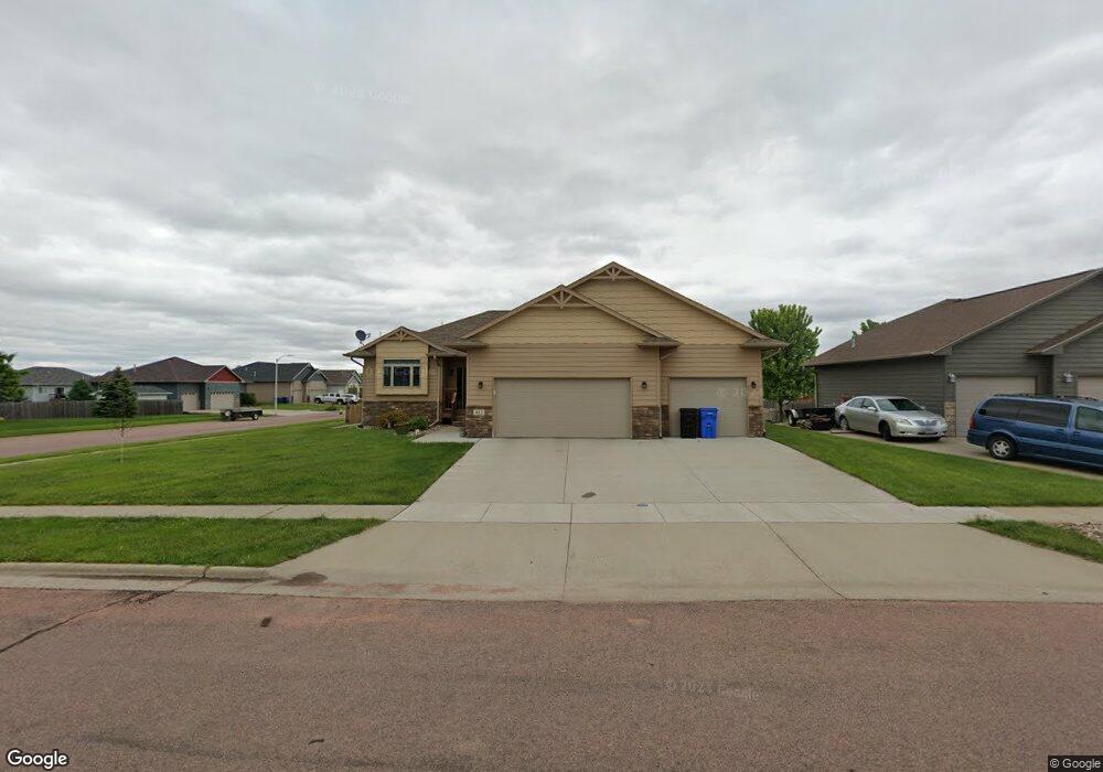
7813 W Zak Cir Sioux Falls, SD 57106
Northwest Sioux Falls NeighborhoodEstimated Value: $371,000 - $528,000
4
Beds
3
Baths
2,108
Sq Ft
$212/Sq Ft
Est. Value
About This Home
This home is located at 7813 W Zak Cir, Sioux Falls, SD 57106 and is currently estimated at $445,966, approximately $211 per square foot. 7813 W Zak Cir is a home located in Minnehaha County with nearby schools including Discovery Elementary School, Memorial Middle School, and Jefferson High School - 67.
Ownership History
Date
Name
Owned For
Owner Type
Purchase Details
Closed on
Mar 17, 2014
Bought by
Bowar Meghan and Bowar Aaron
Current Estimated Value
Home Financials for this Owner
Home Financials are based on the most recent Mortgage that was taken out on this home.
Original Mortgage
$254,505
Outstanding Balance
$192,539
Interest Rate
4.29%
Mortgage Type
Stand Alone First
Estimated Equity
$253,427
Create a Home Valuation Report for This Property
The Home Valuation Report is an in-depth analysis detailing your home's value as well as a comparison with similar homes in the area
Home Values in the Area
Average Home Value in this Area
Purchase History
| Date | Buyer | Sale Price | Title Company |
|---|---|---|---|
| Bowar Meghan | $267,900 | Getty Abstract & Title Comp |
Source: Public Records
Mortgage History
| Date | Status | Borrower | Loan Amount |
|---|---|---|---|
| Open | Bowar Meghan | $254,505 |
Source: Public Records
Tax History Compared to Growth
Tax History
| Year | Tax Paid | Tax Assessment Tax Assessment Total Assessment is a certain percentage of the fair market value that is determined by local assessors to be the total taxable value of land and additions on the property. | Land | Improvement |
|---|---|---|---|---|
| 2024 | $5,546 | $410,500 | $49,200 | $361,300 |
| 2023 | $6,039 | $431,500 | $44,900 | $386,600 |
| 2022 | $5,570 | $374,900 | $44,900 | $330,000 |
| 2021 | $5,145 | $340,100 | $0 | $0 |
| 2020 | $5,145 | $332,400 | $0 | $0 |
| 2019 | $4,459 | $281,753 | $0 | $0 |
| 2018 | $4,306 | $277,745 | $0 | $0 |
| 2017 | $4,114 | $273,633 | $37,193 | $236,440 |
| 2016 | $4,114 | $261,297 | $37,193 | $224,104 |
| 2015 | $4,080 | $249,145 | $35,235 | $213,910 |
| 2014 | -- | $242,915 | $35,235 | $207,680 |
Source: Public Records
Map
Nearby Homes
- 813 S Clearbrook Ave
- 7805 W Noah Cir
- 7809 W Stoney Creek St
- 1200 S Monticello Ave
- 1301 Hyannis Port Ln
- 1209 S Discovery Ave
- 7524 W Boysenberry St
- 7512 W Stoney Creek St
- 604 S Mary Gene Ave
- 7517 W 15th St
- 8008 W Browning St
- 1315 S President Ct
- 8709 W Rathburn St
- 1501 S Wheatland Ave
- 521 S Big Stone Ave
- 1604 S Kinderhook Ave
- 1612 S Meadowland Ave
- 8101 W 24th St
- 8105 W 24th St
- 8905 W 18th St
- 7809 W Zak Cir
- 7820 W Stoney Creek St
- 816 S Clearbrook Ave
- 7816 W Stoney Creek St
- 7805 W Zak Cir
- 7812 W Stoney Creek St
- 820 S Clearbrook Ave
- 7812 W Zak Cir
- 7808 W Zak Cir
- 808 S Clearbrook Ave
- 7808 W Stoney Creek St
- 7801 W Zak Cir
- 7804 W Zak Cir
- 804 S Clearbrook Ave
- 7817 W Stoney Creek St
- 817 S Clearbrook Ave
- 817 S Clearbrook Ave Ave
- 819 S Clearbrook Ave
- 7813 W Noah Cir
- 7825 W Stoney Creek St