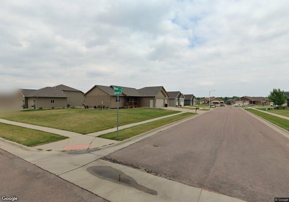
7816 W Noah Cir Sioux Falls, SD 57106
Northwest Sioux Falls NeighborhoodEstimated Value: $365,000 - $483,000
2
Beds
2
Baths
1,234
Sq Ft
$337/Sq Ft
Est. Value
About This Home
This home is located at 7816 W Noah Cir, Sioux Falls, SD 57106 and is currently estimated at $415,331, approximately $336 per square foot. 7816 W Noah Cir is a home with nearby schools including Discovery Elementary School, Memorial Middle School, and Jefferson High School - 67.
Ownership History
Date
Name
Owned For
Owner Type
Purchase Details
Closed on
Apr 25, 2025
Sold by
Ruckelshausen Dan and Ruckelshausen Y
Bought by
Ruckelshausen Daniel and Ruckelshausen Karen
Current Estimated Value
Purchase Details
Closed on
Aug 29, 2013
Sold by
Paul Fick Homes Inc
Bought by
Ruckelshausen Dan
Purchase Details
Closed on
Aug 23, 2013
Sold by
Cherry Creek Development Llc
Bought by
Ruckelshausen Dan
Create a Home Valuation Report for This Property
The Home Valuation Report is an in-depth analysis detailing your home's value as well as a comparison with similar homes in the area
Home Values in the Area
Average Home Value in this Area
Purchase History
| Date | Buyer | Sale Price | Title Company |
|---|---|---|---|
| Ruckelshausen Daniel | -- | Getty Abstract & Title Co | |
| Ruckelshausen Dan | -- | -- | |
| Ruckelshausen Dan | $204,000 | -- |
Source: Public Records
Tax History
| Year | Tax Paid | Tax Assessment Tax Assessment Total Assessment is a certain percentage of the fair market value that is determined by local assessors to be the total taxable value of land and additions on the property. | Land | Improvement |
|---|---|---|---|---|
| 2024 | $4,024 | $291,200 | $63,300 | $227,900 |
| 2023 | $4,162 | $290,800 | $50,800 | $240,000 |
| 2022 | $3,888 | $255,700 | $50,800 | $204,900 |
| 2021 | $3,671 | $243,400 | $0 | $0 |
| 2020 | $3,671 | $231,800 | $0 | $0 |
| 2019 | $3,594 | $222,976 | $0 | $0 |
| 2018 | $3,350 | $220,383 | $0 | $0 |
| 2017 | $3,208 | $208,737 | $38,272 | $170,465 |
| 2016 | $3,208 | $199,843 | $38,272 | $161,571 |
| 2015 | $3,177 | $190,368 | $36,146 | $154,222 |
| 2014 | $3,048 | $184,379 | $36,146 | $148,233 |
Source: Public Records
Map
Nearby Homes
- 7816 W Kelsey Cir
- 8009 W Stoney Creek St
- 824 S Tanglewood Ave
- 811 S Discovery Ave
- 8016 W Browning St
- 1301 S Hyannis Port Ln
- 1209 S Wheatland Ave
- 516 S Mary Gene Ave
- 7512 W Stoney Creek St
- 1201 S Montpelier Ave Ave
- 8709 W Rathburn St
- 7505 W 15th St
- 521 S Big Stone Ave
- 1100 S Maria Ave
- 1501 S Wheatland Ave
- 1516 S Kinderhook Ave
- 1400 S Hyde Park Ave
- 701 S Gill Ave
- 8101 W 24th St
- 8105 W 24th St
- 704 S Clearbrook Ave
- 7812 W Noah Cir
- 800 S Clearbrook Ave
- 700 S Clearbrook Ave
- 7817 W Kelsey Cir
- 7813 W Noah Cir
- 709 S Clearbrook Ave
- 713 S Clearbrook Ave
- 705 S Clearbrook Ave
- 804 S Clearbrook Ave
- 801 S Clearbrook Ave
- 7809 W Noah Cir
- 7901 W Kelsey St
- 7804 W Noah Cir
- 7809 W Kelsey Cir
- 808 S Clearbrook Ave
- 805 S Clearbrook Ave
- 7812 W Zak Cir
- 608 S Clearbrook Ave
- 708 S Whitewood Ave
Your Personal Tour Guide
Ask me questions while you tour the home.