Estimated Value: $196,000 - $374,000
2
Beds
1
Bath
2,102
Sq Ft
$130/Sq Ft
Est. Value
About This Home
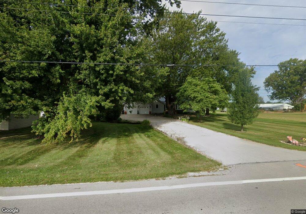
This home is located at 7819 State Route 61, Huron, OH 44839 and is currently estimated at $272,348, approximately $129 per square foot. 7819 State Route 61 is a home located in Erie County with nearby schools including Edison Elementary School (Formerly Milan Elementary), Edison Middle School (Formerly Berlin-Milan Middle School), and Edison High School.
Ownership History
Date
Name
Owned For
Owner Type
Purchase Details
Closed on
Oct 14, 2021
Sold by
Goodrich Steven P
Bought by
Goodrich Nichole M
Current Estimated Value
Purchase Details
Closed on
Sep 17, 2021
Sold by
Goodrich Steven P
Bought by
Goodrich Nichole M and Bartow Nichole M
Purchase Details
Closed on
Mar 7, 2000
Sold by
Flesher Kenneth D
Bought by
Nichole Goodrich Steven and Nichole Bortow
Home Financials for this Owner
Home Financials are based on the most recent Mortgage that was taken out on this home.
Original Mortgage
$75,525
Interest Rate
6.75%
Mortgage Type
New Conventional
Create a Home Valuation Report for This Property
The Home Valuation Report is an in-depth analysis detailing your home's value as well as a comparison with similar homes in the area
Home Values in the Area
Average Home Value in this Area
Purchase History
| Date | Buyer | Sale Price | Title Company |
|---|---|---|---|
| Goodrich Nichole M | -- | None Listed On Document | |
| Goodrich Nichole M | -- | None Available | |
| Nichole Goodrich Steven | $79,500 | -- |
Source: Public Records
Mortgage History
| Date | Status | Borrower | Loan Amount |
|---|---|---|---|
| Previous Owner | Nichole Goodrich Steven | $75,525 |
Source: Public Records
Tax History
| Year | Tax Paid | Tax Assessment Tax Assessment Total Assessment is a certain percentage of the fair market value that is determined by local assessors to be the total taxable value of land and additions on the property. | Land | Improvement |
|---|---|---|---|---|
| 2024 | $2,292 | $61,127 | $8,200 | $52,927 |
| 2023 | $1,965 | $47,677 | $7,455 | $40,222 |
| 2022 | $1,971 | $47,677 | $7,455 | $40,222 |
| 2021 | $1,958 | $47,680 | $7,460 | $40,220 |
| 2020 | $1,959 | $46,940 | $7,460 | $39,480 |
| 2019 | $2,035 | $46,940 | $7,460 | $39,480 |
| 2018 | $2,141 | $46,940 | $7,460 | $39,480 |
| 2017 | $2,047 | $44,160 | $8,550 | $35,610 |
| 2016 | $2,031 | $44,160 | $8,550 | $35,610 |
| 2015 | $1,998 | $44,160 | $8,550 | $35,610 |
| 2014 | $2,075 | $44,160 | $8,550 | $35,610 |
| 2013 | $2,036 | $44,160 | $8,550 | $35,610 |
Source: Public Records
Map
Nearby Homes
- 7305 Darrow Rd
- 7311 Freeman Ln
- 3713 Cleveland Rd E
- 4018 Cleveland Rd E
- 508 Snowy Egret Dr
- 1505 Cleveland Rd E Unit 331
- 1505 Cleveland Rd E Unit 334
- 1110 By the Shores Dr Unit 4
- 1120 By the Shores Dr Unit 2
- 1100 By-The-shores Dr Unit 1
- 38 VL Youness
- 5605 W Lake Rd Unit 155
- 5605 W Lake Rd Unit 20
- 5605 W Lake Rd Unit 9
- 5605 W Lake Rd Unit 8
- 5605 W Lake Rd Unit 154
- 5605 W Lake Rd Unit 146
- 5605 W Lake Rd Unit 23
- 5605 W Lake Rd Unit 25
- 5605 W Lake Rd Unit 4
- 7903 Ceylon Rd
- 7907 State Route 61
- 7911 State Route 61
- 7213 Elm St
- 7718 State Route 61
- 7220 Depot St S
- 7401 Depot St N
- 7306 Depot St S
- 7405 Depot St N
- 8006 State Route 61
- 7316 Depot St S
- 7411 Depot St N
- 7318 Depot St S
- 7320 Depot St S
- 7617 State Route 61
- 7406 Depot St S
- 7412 Depot St S
- 5618 State Rd 6 Unit B
- 3317 Cleveland Rd E
- 3508 Cleveland Rd E
Your Personal Tour Guide
Ask me questions while you tour the home.