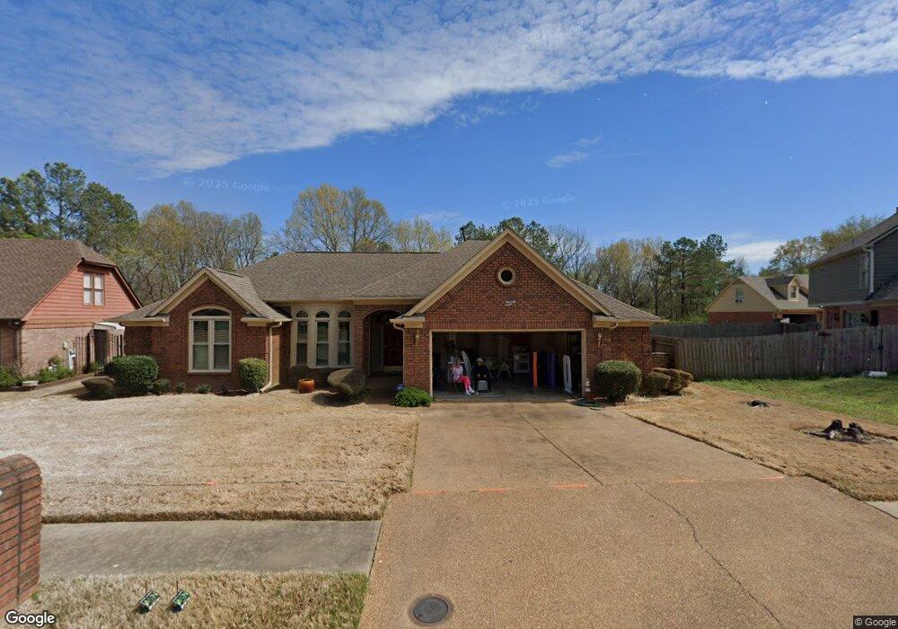
7820 Thunderstone Cir E Memphis, TN 38125
Southern Shelby County NeighborhoodEstimated Value: $252,000 - $311,000
4
Beds
2
Baths
2,256
Sq Ft
$124/Sq Ft
Est. Value
About This Home
This home is located at 7820 Thunderstone Cir E, Memphis, TN 38125 and is currently estimated at $280,186, approximately $124 per square foot. 7820 Thunderstone Cir E is a home located in Shelby County with nearby schools including Lowrance Elementary School, Southwind High School, and Power Center Academy - Southeast.
Ownership History
Date
Name
Owned For
Owner Type
Purchase Details
Closed on
Feb 26, 1999
Sold by
Fullilove Roy J and Fullilove Nannie L
Bought by
Greenlee Milton and Greenlee Alene
Current Estimated Value
Home Financials for this Owner
Home Financials are based on the most recent Mortgage that was taken out on this home.
Original Mortgage
$155,322
Outstanding Balance
$37,720
Interest Rate
6.79%
Mortgage Type
FHA
Estimated Equity
$242,466
Create a Home Valuation Report for This Property
The Home Valuation Report is an in-depth analysis detailing your home's value as well as a comparison with similar homes in the area
Home Values in the Area
Average Home Value in this Area
Purchase History
| Date | Buyer | Sale Price | Title Company |
|---|---|---|---|
| Greenlee Milton | $157,000 | -- |
Source: Public Records
Mortgage History
| Date | Status | Borrower | Loan Amount |
|---|---|---|---|
| Open | Greenlee Milton | $155,322 |
Source: Public Records
Tax History Compared to Growth
Tax History
| Year | Tax Paid | Tax Assessment Tax Assessment Total Assessment is a certain percentage of the fair market value that is determined by local assessors to be the total taxable value of land and additions on the property. | Land | Improvement |
|---|---|---|---|---|
| 2025 | $1,728 | $67,925 | $12,000 | $55,925 |
| 2024 | $1,728 | $50,975 | $8,300 | $42,675 |
| 2023 | $1,728 | $50,975 | $8,300 | $42,675 |
| 2022 | $1,728 | $50,975 | $8,300 | $42,675 |
| 2021 | $1,759 | $50,975 | $8,300 | $42,675 |
| 2020 | $1,569 | $38,750 | $8,300 | $30,450 |
| 2019 | $1,569 | $38,750 | $8,300 | $30,450 |
| 2018 | $1,569 | $38,750 | $8,300 | $30,450 |
| 2017 | $1,593 | $38,750 | $8,300 | $30,450 |
| 2016 | $1,556 | $35,600 | $0 | $0 |
| 2014 | $1,556 | $35,600 | $0 | $0 |
Source: Public Records
Map
Nearby Homes
- 4294 Thunderstone Cir W
- 4316 Barry Meadows Cove
- 4419 Berkley Woods Dr
- 4471 Hughes Meadow Dr
- 7527 Wilsford Cove
- 4028 Long Creek Rd
- 7561 Shelby Cross Cir
- 4646 Sweet Whisper Ln
- 7579 Baysweet Dr
- 3912 Autumn Harvest Ln
- 7421 Richmond Rd
- 4310 Coral Creek Ln
- 3988 Fern Valley Dr
- 7286 New Britain Dr
- 4768 Gertrude Dr
- 7321 Stonington Dr
- 4826 Callaway Hills Dr
- 7386 Eggleston Rd
- 7875 Fallstone Rd
- 4350 Oak Chase Cove
- 7814 Thunderstone Cir E
- 4300 Waterside Cove
- 4308 Waterside Cove
- 7808 Thunderstone Cir E
- 7821 Thunderstone Cir E
- 7811 Thunderstone Cir E
- 7764 Thunderstone Cir S
- 4311 Waterside Cove
- 7761 Thunderstone Cir S
- 7797 Thunderstone Cir E
- 7802 Thunderstone Cir E
- 4276 Thunderhead Cove
- 4307 Waterside Cove
- 7754 Thunderstone Cir S
- 7796 Thunderstone Cir E
- 7755 Thunderstone Cir S
- 7787 Thunderstone Cir E
- 4270 Thunderhead Cove
- 7749 Thunderstone Cir S
- 7790 Thunderstone Cir E