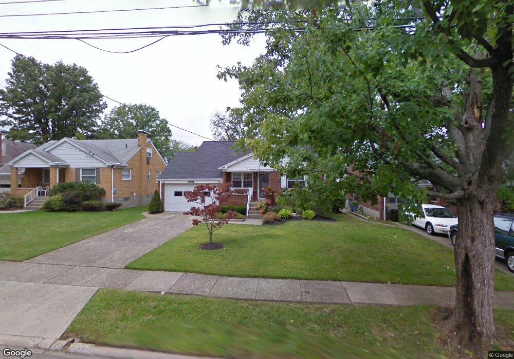
7821 Matson Ct Cincinnati, OH 45236
Estimated Value: $282,000 - $318,000
3
Beds
2
Baths
1,508
Sq Ft
$200/Sq Ft
Est. Value
About This Home
This home is located at 7821 Matson Ct, Cincinnati, OH 45236 and is currently estimated at $301,010, approximately $199 per square foot. 7821 Matson Ct is a home located in Hamilton County with nearby schools including Amity Elementary School, Deer Park Jr/Sr High School, and Ohr Torah Cincinnati.
Ownership History
Date
Name
Owned For
Owner Type
Purchase Details
Closed on
Jun 29, 1998
Sold by
Kuhn Alfred Roy and Kuhn Dolores Irene
Bought by
Castner Patricia L
Current Estimated Value
Home Financials for this Owner
Home Financials are based on the most recent Mortgage that was taken out on this home.
Original Mortgage
$87,200
Outstanding Balance
$16,164
Interest Rate
7.17%
Estimated Equity
$284,846
Create a Home Valuation Report for This Property
The Home Valuation Report is an in-depth analysis detailing your home's value as well as a comparison with similar homes in the area
Home Values in the Area
Average Home Value in this Area
Purchase History
| Date | Buyer | Sale Price | Title Company |
|---|---|---|---|
| Castner Patricia L | $109,000 | Tri-Star Title Agency Inc |
Source: Public Records
Mortgage History
| Date | Status | Borrower | Loan Amount |
|---|---|---|---|
| Open | Castner Patricia L | $87,200 |
Source: Public Records
Tax History
| Year | Tax Paid | Tax Assessment Tax Assessment Total Assessment is a certain percentage of the fair market value that is determined by local assessors to be the total taxable value of land and additions on the property. | Land | Improvement |
|---|---|---|---|---|
| 2025 | $4,958 | $78,082 | $11,515 | $66,567 |
| 2024 | $4,156 | $78,082 | $11,515 | $66,567 |
| 2023 | $4,288 | $78,082 | $11,515 | $66,567 |
| 2022 | $4,792 | $59,280 | $9,751 | $49,529 |
| 2021 | $4,689 | $59,280 | $9,751 | $49,529 |
| 2020 | $4,339 | $59,280 | $9,751 | $49,529 |
| 2019 | $4,230 | $52,000 | $8,554 | $43,446 |
| 2018 | $4,231 | $52,000 | $8,554 | $43,446 |
| 2017 | $4,025 | $52,000 | $8,554 | $43,446 |
| 2016 | $3,788 | $48,342 | $8,897 | $39,445 |
| 2015 | $3,460 | $48,342 | $8,897 | $39,445 |
| 2014 | $3,461 | $48,342 | $8,897 | $39,445 |
| 2013 | $3,366 | $46,484 | $8,554 | $37,930 |
Source: Public Records
Map
Nearby Homes
- 7719 Dearborn Ave
- 7837 Moss Ct
- 4009 Saint Johns Terrace
- 7905 Plainfield Rd
- 4050 O'Leary Ave
- 3982 Superior Ave
- 4120 Hoffman Ave
- 4123 Hoffman Ave
- 7651 Sagamore Dr
- 8390 Wexford Ave
- 7211 Maryland Ave
- 4208 Linden Ave
- 4106 Orchard Ln
- 3647 Guam Ct
- 8494 Wexford Ave
- 4025 Deer Park Ave
- 3814 N Broadlawn Cir
- 4104 Estermarie Dr
- 8468 Plainfield Rd
- 3911 E Gatewood Ln
Your Personal Tour Guide
Ask me questions while you tour the home.