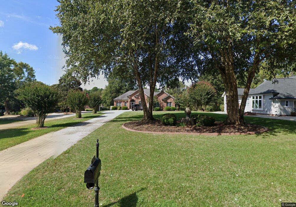
7821 Sail Pointe Dr Sherrills Ford, NC 28673
Estimated Value: $1,048,000 - $1,264,000
3
Beds
4
Baths
3,843
Sq Ft
$297/Sq Ft
Est. Value
About This Home
This home is located at 7821 Sail Pointe Dr, Sherrills Ford, NC 28673 and is currently estimated at $1,140,233, approximately $296 per square foot. 7821 Sail Pointe Dr is a home located in Catawba County with nearby schools including Bandys High School, Sherrills Ford Elementary School, and Mill Creek Middle School.
Ownership History
Date
Name
Owned For
Owner Type
Purchase Details
Closed on
Apr 27, 2004
Bought by
M/I Schottenstein Homes Inc
Current Estimated Value
Purchase Details
Closed on
Sep 3, 2003
Purchase Details
Closed on
Feb 17, 2002
Purchase Details
Closed on
Aug 4, 2000
Purchase Details
Closed on
Jun 1, 1998
Create a Home Valuation Report for This Property
The Home Valuation Report is an in-depth analysis detailing your home's value as well as a comparison with similar homes in the area
Home Values in the Area
Average Home Value in this Area
Purchase History
| Date | Buyer | Sale Price | Title Company |
|---|---|---|---|
| M/I Schottenstein Homes Inc | $575,000 | -- | |
| -- | $670,000 | -- | |
| -- | $421,000 | -- | |
| -- | $90,000 | -- | |
| -- | $75,000 | -- |
Source: Public Records
Tax History Compared to Growth
Tax History
| Year | Tax Paid | Tax Assessment Tax Assessment Total Assessment is a certain percentage of the fair market value that is determined by local assessors to be the total taxable value of land and additions on the property. | Land | Improvement |
|---|---|---|---|---|
| 2025 | $4,878 | $990,400 | $201,600 | $788,800 |
| 2024 | $4,878 | $990,400 | $201,600 | $788,800 |
| 2023 | $4,779 | $634,900 | $161,300 | $473,600 |
| 2022 | $4,476 | $634,900 | $161,300 | $473,600 |
| 2021 | $4,320 | $612,800 | $161,300 | $451,500 |
| 2020 | $4,320 | $612,800 | $161,300 | $451,500 |
| 2019 | $4,320 | $612,800 | $0 | $0 |
| 2018 | $3,918 | $572,000 | $161,300 | $410,700 |
| 2017 | $3,918 | $0 | $0 | $0 |
| 2016 | $3,918 | $0 | $0 | $0 |
| 2015 | $3,164 | $571,960 | $161,300 | $410,660 |
| 2014 | $3,164 | $527,300 | $160,600 | $366,700 |
Source: Public Records
Map
Nearby Homes
- 7869 Iron Rd
- 4155 Slanting Bridge Rd
- 7882 Iron Rd
- 4364 Bronze Blvd
- 4366 Bronze Blvd
- 4372 Bronze Blvd
- 4278 Harbor Ln
- 4153 Steel Way
- Livia Plan at Blackstone Bay Townhomes
- Sandra Plan at Blackstone Bay Townhomes
- 4155 Steel Way
- 4251 Slanting Bridge Rd
- 4177 Steel Way
- 4121 Steel Way
- 4158 Steel Way
- 4156 Steel Way
- 4162 Steel Way
- 4154 Steel Way
- 4148 Steel Way
- 7950 Mocassin Dr
- 7821 Sail Pointe Dr Unit 31
- 7833 Sail Pointe Dr
- 7813 Sail Pointe Dr
- 7841 Sail Pointe Dr
- 7849 Sail Pointe Dr
- 4236 Pointe Norman Dr
- 4200 Pointe Norman Dr
- 4224 Pointe Norman Dr
- 4248 Pointe Norman Dr
- 4248 Pointe Norman Dr Unit 23
- 4210 Pointe Norman Dr
- 4260 Pointe Norman Dr
- 7715 Sail Pointe Dr
- 7689 Sail Pointe Dr
- 4268 Pointe Norman Dr
- 4276 Pointe Norman Dr
- 4282 Pointe Norman Dr
- 4125 Slanting Bridge Rd
- 4233 Pointe Norman Dr
- 4245 Pointe Norman Dr