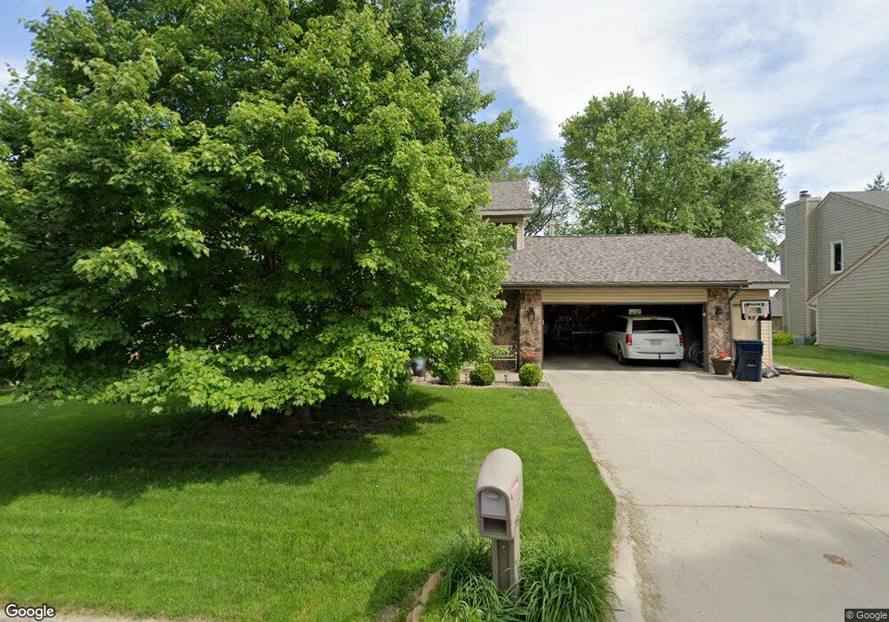
7824 Maple Dr Urbandale, IA 50322
Estimated Value: $362,475 - $389,000
3
Beds
3
Baths
2,068
Sq Ft
$182/Sq Ft
Est. Value
About This Home
This home is located at 7824 Maple Dr, Urbandale, IA 50322 and is currently estimated at $376,619, approximately $182 per square foot. 7824 Maple Dr is a home located in Polk County with nearby schools including Karen Acres Elementary School, Valerius Elementary School, and Urbandale Middle School.
Ownership History
Date
Name
Owned For
Owner Type
Purchase Details
Closed on
Apr 16, 2002
Sold by
Pogones Laird A and Pogones Sandra L
Bought by
Richard Stanley J and Richard Kristi L
Current Estimated Value
Home Financials for this Owner
Home Financials are based on the most recent Mortgage that was taken out on this home.
Original Mortgage
$152,000
Outstanding Balance
$64,448
Interest Rate
7.13%
Estimated Equity
$312,171
Create a Home Valuation Report for This Property
The Home Valuation Report is an in-depth analysis detailing your home's value as well as a comparison with similar homes in the area
Home Values in the Area
Average Home Value in this Area
Purchase History
| Date | Buyer | Sale Price | Title Company |
|---|---|---|---|
| Richard Stanley J | $189,500 | -- |
Source: Public Records
Mortgage History
| Date | Status | Borrower | Loan Amount |
|---|---|---|---|
| Open | Richard Stanley J | $152,000 |
Source: Public Records
Tax History Compared to Growth
Tax History
| Year | Tax Paid | Tax Assessment Tax Assessment Total Assessment is a certain percentage of the fair market value that is determined by local assessors to be the total taxable value of land and additions on the property. | Land | Improvement |
|---|---|---|---|---|
| 2024 | $5,406 | $315,900 | $63,900 | $252,000 |
| 2023 | $5,460 | $315,900 | $63,900 | $252,000 |
| 2022 | $5,394 | $263,300 | $54,800 | $208,500 |
| 2021 | $5,434 | $263,300 | $54,800 | $208,500 |
| 2020 | $5,338 | $251,800 | $52,300 | $199,500 |
| 2019 | $5,168 | $251,800 | $52,300 | $199,500 |
| 2018 | $4,976 | $233,300 | $47,500 | $185,800 |
| 2017 | $4,682 | $233,300 | $47,500 | $185,800 |
| 2016 | $4,562 | $216,200 | $43,200 | $173,000 |
| 2015 | $4,562 | $216,200 | $43,200 | $173,000 |
| 2014 | $4,260 | $208,700 | $41,200 | $167,500 |
Source: Public Records
Map
Nearby Homes
- 8006 Dellwood Dr
- 3306 78th St
- 8047 Dellwood Dr
- 7721 Dellwood Dr
- 8178 Dellwood Dr Unit 8178
- 3400 78th St
- 2800 Claiborne Cir
- 8004 Wilden Dr
- 8001 Sheridan Dr
- 3409 84th St
- 3221 Ashwood Dr
- 7609 Roseland Dr
- 7422 Oak Brook Dr
- 2651 82nd St
- 2548 Pine Cir
- 8073 Cobblestone Rd
- 8037 Cobblestone Ct
- 8115 Cobblestone Ct
- 7314 Roseland Dr
- 7815 Douglas Ave Unit 304