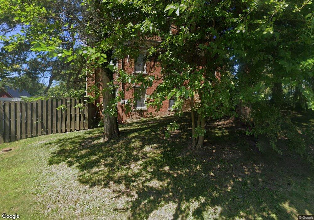
783 Mitchell Rd Wilmington, OH 45177
Estimated Value: $447,474 - $577,000
3
Beds
3
Baths
3,160
Sq Ft
$157/Sq Ft
Est. Value
About This Home
This home is located at 783 Mitchell Rd, Wilmington, OH 45177 and is currently estimated at $496,119, approximately $156 per square foot. 783 Mitchell Rd is a home located in Clinton County with nearby schools including East End Elementary School, Roy E. Holmes Elementary School, and Denver Place Elementary School.
Ownership History
Date
Name
Owned For
Owner Type
Purchase Details
Closed on
Feb 10, 2011
Sold by
Plinke John F and Plinke Barbara A
Bought by
Marino Richard A and Marino Teresaa
Current Estimated Value
Home Financials for this Owner
Home Financials are based on the most recent Mortgage that was taken out on this home.
Original Mortgage
$208,000
Outstanding Balance
$142,330
Interest Rate
4.78%
Mortgage Type
Unknown
Estimated Equity
$353,789
Purchase Details
Closed on
Jan 1, 1990
Bought by
Plinke John F and Plinke Barbara A
Create a Home Valuation Report for This Property
The Home Valuation Report is an in-depth analysis detailing your home's value as well as a comparison with similar homes in the area
Purchase History
| Date | Buyer | Sale Price | Title Company |
|---|---|---|---|
| Marino Richard A | $1,085 | -- | |
| Plinke John F | -- | -- |
Source: Public Records
Mortgage History
| Date | Status | Borrower | Loan Amount |
|---|---|---|---|
| Open | Marino Richard A | $208,000 |
Source: Public Records
Tax History
| Year | Tax Paid | Tax Assessment Tax Assessment Total Assessment is a certain percentage of the fair market value that is determined by local assessors to be the total taxable value of land and additions on the property. | Land | Improvement |
|---|---|---|---|---|
| 2024 | $3,668 | $120,480 | $22,440 | $98,040 |
| 2023 | $3,786 | $120,480 | $22,440 | $98,040 |
| 2022 | $2,256 | $67,420 | $12,660 | $54,760 |
| 2021 | $2,282 | $67,420 | $12,660 | $54,760 |
| 2020 | $2,205 | $67,420 | $12,660 | $54,760 |
| 2019 | $2,055 | $57,840 | $11,890 | $45,950 |
| 2018 | $2,074 | $57,840 | $11,890 | $45,950 |
| 2017 | $2,017 | $57,840 | $11,890 | $45,950 |
| 2016 | $2,704 | $76,980 | $15,240 | $61,740 |
| 2015 | $2,702 | $76,980 | $15,240 | $61,740 |
| 2013 | $2,735 | $75,270 | $15,240 | $60,030 |
Source: Public Records
Map
Nearby Homes
- 493 Mitchell Rd
- 1464 Woodside Dr
- 987 N Nelson Ave
- 1706 Woodside Dr
- 375 Washington Ave
- 207 Richardson Place
- 166 Glenwood Cir
- 1253 Us Route 68
- 0 US Route 68 Unit 1831183
- 1985 Ohio 730
- 0 N Wood St
- 277 N Spring St
- 668 Catalpa Dr
- 235 B St
- 174 B St
- 914 Hickory Trail Dr
- 551 Randolph St
- 625 Hale Rd
- 841 Ohio Ave
- 21 Hunters Glen Dr
- 782 Mitchell Rd
- 835 Mitchell Rd
- 716 Mitchell Rd
- 850 Mitchell Rd
- 686 Mitchell Rd
- 880 Mitchell Rd
- 42 Paddock Place
- 100 Morningline Ln
- 648 Mitchell Rd
- 60 Morningline Ln
- 920 Mitchell Rd
- 20 Morningline Ln
- 612 Mitchell Rd
- 911 Mitchell Rd
- 950 Mitchell Rd
- 120 Morningline Ln
- 949 Mitchell Rd
- 29 Paddock Place
- 988 Mitchell Rd
- 574 Mitchell Rd
Your Personal Tour Guide
Ask me questions while you tour the home.