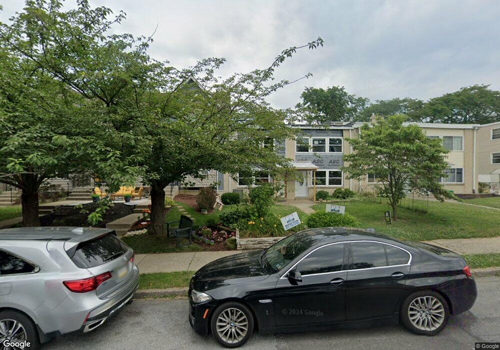
783 Mohawk St Allentown, PA 18103
Southside NeighborhoodEstimated Value: $202,258 - $234,000
3
Beds
2
Baths
1,402
Sq Ft
$153/Sq Ft
Est. Value
About This Home
This home is located at 783 Mohawk St, Allentown, PA 18103 and is currently estimated at $214,565, approximately $153 per square foot. 783 Mohawk St is a home located in Lehigh County with nearby schools including Hiram W Dodd Elementary School, South Mountain Middle School, and William Allen High School.
Ownership History
Date
Name
Owned For
Owner Type
Purchase Details
Closed on
May 3, 2023
Sold by
Joseph Recardo A
Bought by
R & P Real Estate Llc
Current Estimated Value
Purchase Details
Closed on
Mar 17, 2006
Sold by
Krout Kevin and Krout Dianne E
Bought by
Joseph Recardo A
Home Financials for this Owner
Home Financials are based on the most recent Mortgage that was taken out on this home.
Original Mortgage
$90,000
Interest Rate
6.28%
Mortgage Type
Fannie Mae Freddie Mac
Purchase Details
Closed on
Oct 22, 1993
Sold by
Krout Kevin and Kornafel Dianne E
Bought by
Krout Kevin and Krout Dianne E
Purchase Details
Closed on
May 29, 1991
Sold by
Tomasetti Joseph A
Bought by
Krout Kevin and Kornafel Dianne E
Purchase Details
Closed on
Jun 22, 1990
Sold by
Merrill Iii Charles E
Bought by
Tomasetti Joseph A
Purchase Details
Closed on
Sep 6, 1989
Bought by
Merrill Charles E
Create a Home Valuation Report for This Property
The Home Valuation Report is an in-depth analysis detailing your home's value as well as a comparison with similar homes in the area
Home Values in the Area
Average Home Value in this Area
Purchase History
| Date | Buyer | Sale Price | Title Company |
|---|---|---|---|
| R & P Real Estate Llc | $25,000 | None Listed On Document | |
| Joseph Recardo A | $112,500 | None Available | |
| Krout Kevin | -- | -- | |
| Krout Kevin | $72,500 | -- | |
| Tomasetti Joseph A | $73,000 | -- | |
| Merrill Charles E | -- | -- |
Source: Public Records
Mortgage History
| Date | Status | Borrower | Loan Amount |
|---|---|---|---|
| Previous Owner | Joseph Recardo A | $90,000 |
Source: Public Records
Tax History Compared to Growth
Tax History
| Year | Tax Paid | Tax Assessment Tax Assessment Total Assessment is a certain percentage of the fair market value that is determined by local assessors to be the total taxable value of land and additions on the property. | Land | Improvement |
|---|---|---|---|---|
| 2025 | $1,018 | $28,400 | $7,400 | $21,000 |
| 2024 | $1,018 | $28,400 | $7,400 | $21,000 |
| 2023 | $1,018 | $28,400 | $7,400 | $21,000 |
| 2022 | $107 | $91,500 | $7,400 | $84,100 |
| 2021 | $2,805 | $91,500 | $7,400 | $84,100 |
| 2020 | $2,731 | $91,500 | $7,400 | $84,100 |
| 2019 | $2,687 | $91,500 | $7,400 | $84,100 |
| 2018 | $2,509 | $91,500 | $7,400 | $84,100 |
| 2017 | $2,445 | $91,500 | $7,400 | $84,100 |
| 2016 | -- | $91,500 | $7,400 | $84,100 |
| 2015 | -- | $91,500 | $7,400 | $84,100 |
| 2014 | -- | $91,500 | $7,400 | $84,100 |
Source: Public Records
Map
Nearby Homes
- 1931 S Hall St Unit 1933
- 1990 S Delaware St
- 1831 S Church St
- 725 Trout Creek Ln
- 566 W Emaus Ave
- 566 588 W Emaus Ave
- 1066 Devonshire Rd Unit 1068
- 1076 W Tioga St
- 2157 S Poplar St
- 2430 S Law St
- 2212 S Melrose St
- 1126 Lehigh St
- 1882 S 2nd St
- 1243 W Tioga St
- 1113 S Howard St
- 2531 S Carbon St
- 2487 S 6th St
- 2333 S 4th St
- 750 W Cumberland St
- 135 W Wabash St