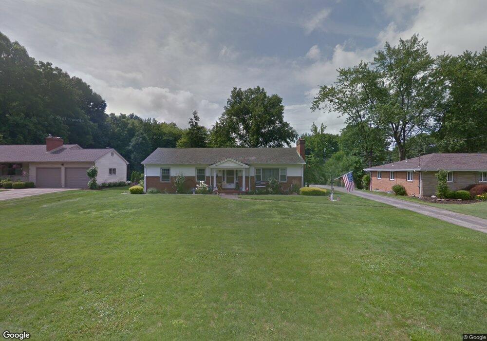
783 Ronlee Ln Youngstown, OH 44512
Estimated Value: $213,000 - $266,000
3
Beds
3
Baths
1,704
Sq Ft
$140/Sq Ft
Est. Value
About This Home
This home is located at 783 Ronlee Ln, Youngstown, OH 44512 and is currently estimated at $238,381, approximately $139 per square foot. 783 Ronlee Ln is a home located in Mahoning County with nearby schools including West Boulevard Elementary School, Boardman Center Middle School, and Boardman High School.
Ownership History
Date
Name
Owned For
Owner Type
Purchase Details
Closed on
Feb 15, 2021
Sold by
Yaist Barbara
Bought by
Yaist Susan
Current Estimated Value
Home Financials for this Owner
Home Financials are based on the most recent Mortgage that was taken out on this home.
Original Mortgage
$80,000
Outstanding Balance
$71,489
Interest Rate
2.65%
Mortgage Type
New Conventional
Estimated Equity
$166,892
Purchase Details
Closed on
Dec 17, 1975
Bought by
Smith Ralph J and Smith Evelyn J
Create a Home Valuation Report for This Property
The Home Valuation Report is an in-depth analysis detailing your home's value as well as a comparison with similar homes in the area
Home Values in the Area
Average Home Value in this Area
Purchase History
| Date | Buyer | Sale Price | Title Company |
|---|---|---|---|
| Yaist Susan | $100,000 | Patriot Title Agency Inc | |
| Smith Ralph J | -- | -- |
Source: Public Records
Mortgage History
| Date | Status | Borrower | Loan Amount |
|---|---|---|---|
| Open | Yaist Susan | $80,000 |
Source: Public Records
Tax History Compared to Growth
Tax History
| Year | Tax Paid | Tax Assessment Tax Assessment Total Assessment is a certain percentage of the fair market value that is determined by local assessors to be the total taxable value of land and additions on the property. | Land | Improvement |
|---|---|---|---|---|
| 2024 | $3,463 | $67,860 | $9,690 | $58,170 |
| 2023 | $3,417 | $67,860 | $9,690 | $58,170 |
| 2022 | $2,950 | $44,680 | $9,670 | $35,010 |
| 2021 | $2,388 | $44,680 | $9,670 | $35,010 |
| 2020 | $2,400 | $44,680 | $9,670 | $35,010 |
| 2019 | $2,422 | $40,620 | $8,790 | $31,830 |
| 2018 | $1,901 | $40,620 | $8,790 | $31,830 |
| 2017 | $2,054 | $40,620 | $8,790 | $31,830 |
| 2016 | $2,058 | $40,430 | $9,770 | $30,660 |
| 2015 | $2,017 | $40,430 | $9,770 | $30,660 |
| 2014 | $2,572 | $40,430 | $9,770 | $30,660 |
| 2013 | $2,540 | $40,430 | $9,770 | $30,660 |
Source: Public Records
Map
Nearby Homes
- 813 Brookfield Ave
- 6938 Ron Park Place
- 772 Ewing Rd
- 6632 Harrington Ave
- 768 Crestview Dr
- 715 Crestview Dr
- 396 Brookfield Ave
- 0 Pinewood Dr Unit 5140025
- 6892 Glenwood Ave
- 242 Oakley Ave
- 7005 Paxton Rd
- 7544 Jaguar Dr
- 7556 Jaguar Dr
- 6726 Glendale Ave
- 7367 Oregon Trail
- 7511 E Parkside Dr
- 7387 Oregon Trail
- 7110 Amherst Ave
- 6723 Lockwood Blvd Unit 4
- 103 Wildwood Dr
- 773 Ronlee Ln
- 6645 Ron Park Place
- 763 Ronlee Ln
- 6655 Ron Park Place
- 782 Ronlee Ln
- 811 Ronlee Ln Unit LM
- 772 Ronlee Ln
- 792 Ronlee Ln
- 6663 Ron Park Place
- 753 Ronlee Ln
- 762 Ronlee Ln
- 6644 Ron Park Place
- 810 Ronlee Ln
- 821 Ronlee Ln
- 6654 Ron Park Place
- 752 Ronlee Ln
- 743 Ronlee Ln
- 6671 Ron Park Place
- 820 Ronlee Ln
- 6664 Ron Park Place