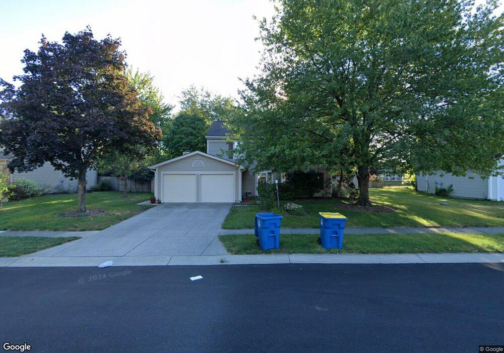
7834 Ashton Ln Fishers, IN 46038
Estimated Value: $347,000 - $364,791
4
Beds
3
Baths
2,136
Sq Ft
$166/Sq Ft
Est. Value
About This Home
This home is located at 7834 Ashton Ln, Fishers, IN 46038 and is currently estimated at $355,448, approximately $166 per square foot. 7834 Ashton Ln is a home located in Hamilton County with nearby schools including New Britton Elementary School, Riverside Junior High School, and Riverside Intermediate School.
Ownership History
Date
Name
Owned For
Owner Type
Purchase Details
Closed on
Dec 9, 2002
Sold by
Poor Ivan C and Poor Ann M
Bought by
Gropp Brian T and Gropp Karen L
Current Estimated Value
Home Financials for this Owner
Home Financials are based on the most recent Mortgage that was taken out on this home.
Original Mortgage
$143,622
Outstanding Balance
$59,552
Interest Rate
6.01%
Mortgage Type
Purchase Money Mortgage
Estimated Equity
$295,896
Create a Home Valuation Report for This Property
The Home Valuation Report is an in-depth analysis detailing your home's value as well as a comparison with similar homes in the area
Home Values in the Area
Average Home Value in this Area
Purchase History
| Date | Buyer | Sale Price | Title Company |
|---|---|---|---|
| Gropp Brian T | -- | -- |
Source: Public Records
Mortgage History
| Date | Status | Borrower | Loan Amount |
|---|---|---|---|
| Open | Gropp Brian T | $143,622 |
Source: Public Records
Tax History Compared to Growth
Tax History
| Year | Tax Paid | Tax Assessment Tax Assessment Total Assessment is a certain percentage of the fair market value that is determined by local assessors to be the total taxable value of land and additions on the property. | Land | Improvement |
|---|---|---|---|---|
| 2024 | $3,321 | $290,000 | $86,000 | $204,000 |
| 2023 | $2,792 | $258,900 | $54,400 | $204,500 |
| 2022 | $2,548 | $225,000 | $54,400 | $170,600 |
| 2021 | $2,180 | $195,700 | $54,400 | $141,300 |
| 2020 | $1,984 | $181,200 | $54,400 | $126,800 |
| 2019 | $1,852 | $171,800 | $27,600 | $144,200 |
| 2018 | $1,660 | $159,200 | $27,600 | $131,600 |
| 2017 | $1,508 | $150,100 | $27,600 | $122,500 |
| 2016 | $1,415 | $144,400 | $27,600 | $116,800 |
| 2014 | $1,222 | $136,600 | $27,600 | $109,000 |
| 2013 | $1,222 | $132,600 | $27,500 | $105,100 |
Source: Public Records
Map
Nearby Homes
- 7824 Ashton Place
- 7731 Kenetta Ct
- 11709 Cameron Dr
- 8188 Bostic Ct
- 7648 Madden Ln
- 8292 Enclave Blvd
- 11455 Reagan Dr
- 810 Sunblest Blvd
- 12036 Citywalk Dr
- 8013 Turkel Ct
- 7697 Ensley Ct
- 7511 Madden Dr
- 8694 Morgan Dr
- 8704 Morgan Dr
- 8677 Morgan Dr
- 8778 Morgan Dr
- 121 Northland St
- 117 Meadow Ln
- 12480 Traverse Place
- 8850 Tanner Dr
- 7836 Ashton Ln
- 7832 Ashton Ln
- 11854 Ashton Dr
- 11846 Ashton Dr
- 7838 Ashton Ln
- 11862 Ashton Dr
- 7830 Ashton Ln
- 11838 Ashton Dr
- 7835 Ashton Ln
- 11870 Ashton Dr
- 7828 Ashton Ln
- 7840 Ashton Ln
- 11830 Ashton Dr
- 7822 Ashton Place
- 7822 Ashton Place Unit BLK 143
- 11878 Ashton Dr
- 7823 Ashton Place
- 7837 Ashton Ln
- 11847 Ashton Dr