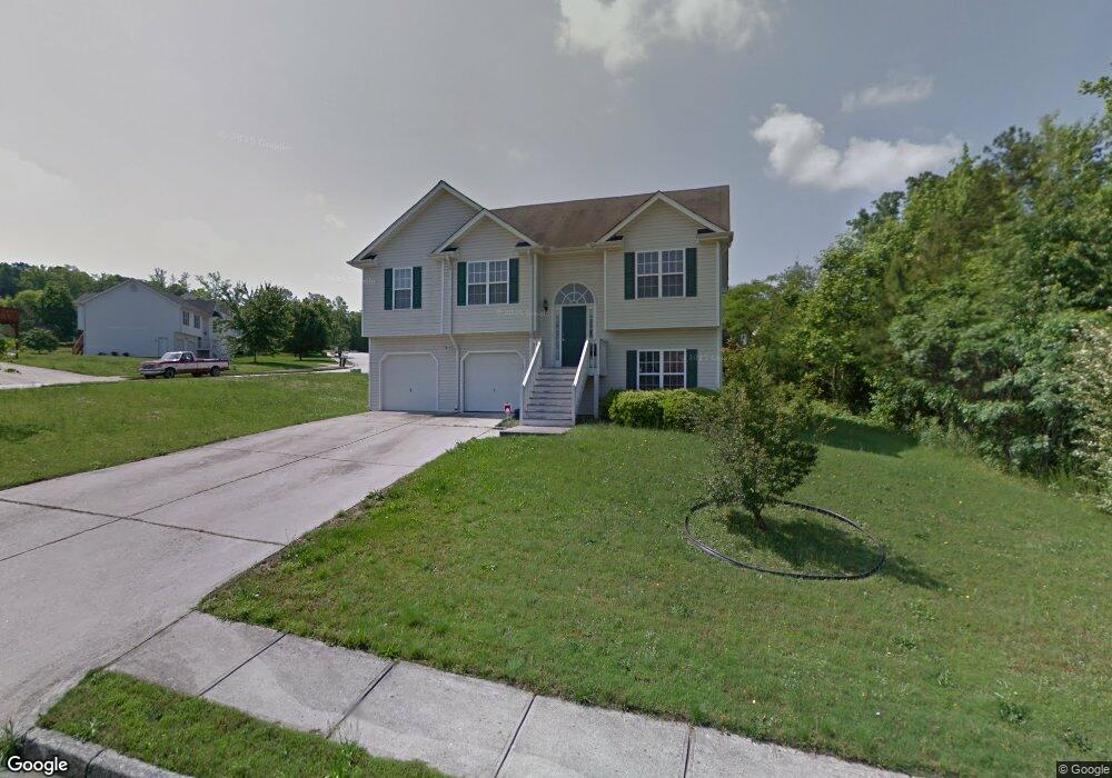
7835 Cambridge Dr Douglasville, GA 30134
Estimated Value: $206,000 - $303,000
4
Beds
4
Baths
1,955
Sq Ft
$134/Sq Ft
Est. Value
About This Home
This home is located at 7835 Cambridge Dr, Douglasville, GA 30134 and is currently estimated at $261,006, approximately $133 per square foot. 7835 Cambridge Dr is a home located in Douglas County with nearby schools including Burnett Elementary School, Stewart Middle School, and Douglas County High School.
Ownership History
Date
Name
Owned For
Owner Type
Purchase Details
Closed on
Dec 16, 2009
Sold by
Shields Victoria
Bought by
Shields Jeffery D
Current Estimated Value
Purchase Details
Closed on
Aug 23, 2001
Sold by
Cambridge Home Builders Inc
Bought by
Shields Jeffrey D and Shields Victoria
Home Financials for this Owner
Home Financials are based on the most recent Mortgage that was taken out on this home.
Original Mortgage
$130,250
Interest Rate
6.67%
Mortgage Type
FHA
Create a Home Valuation Report for This Property
The Home Valuation Report is an in-depth analysis detailing your home's value as well as a comparison with similar homes in the area
Home Values in the Area
Average Home Value in this Area
Purchase History
| Date | Buyer | Sale Price | Title Company |
|---|---|---|---|
| Shields Jeffery D | -- | -- | |
| Shields Jeffrey D | $131,400 | -- |
Source: Public Records
Mortgage History
| Date | Status | Borrower | Loan Amount |
|---|---|---|---|
| Previous Owner | Shields Jeffrey D | $130,250 |
Source: Public Records
Tax History Compared to Growth
Tax History
| Year | Tax Paid | Tax Assessment Tax Assessment Total Assessment is a certain percentage of the fair market value that is determined by local assessors to be the total taxable value of land and additions on the property. | Land | Improvement |
|---|---|---|---|---|
| 2024 | $2,913 | $88,080 | $22,800 | $65,280 |
| 2023 | $2,913 | $88,080 | $22,800 | $65,280 |
| 2022 | $2,550 | $79,320 | $13,400 | $65,920 |
| 2021 | $2,189 | $66,080 | $13,400 | $52,680 |
| 2020 | $2,240 | $66,080 | $13,400 | $52,680 |
| 2019 | $1,879 | $55,680 | $11,640 | $44,040 |
| 2018 | $1,856 | $54,400 | $11,640 | $42,760 |
| 2017 | $1,749 | $50,440 | $11,920 | $38,520 |
| 2016 | $1,700 | $47,920 | $11,760 | $36,160 |
| 2015 | $1,336 | $34,520 | $8,680 | $25,840 |
| 2014 | $1,035 | $27,960 | $7,480 | $20,480 |
| 2013 | -- | $26,360 | $7,080 | $19,280 |
Source: Public Records
Map
Nearby Homes
- 7687 Greenridge Ct
- 6588 Snowbird Ln Unit 1
- 7835 Teton Trail Unit 1
- 7712 Autry Cir Unit 617
- 7712 Autry Cir Unit 701
- 7712 Autry Cir Unit 7-721
- 7712 Autry Cir Unit 305
- 8090 Colquitt St
- 6215 Grovener Ave
- 6592 Malone Rd
- 6155 Cooper St
- 8053 Duralee Ln
- 6214 Hagin St
- 7900 Alpha Way Unit 1
- 8211 Colquitt St
- 0 Mcintosh Rd Unit 7605889
- 1121 Grove Trail Pass
- 7420 Bristol Cir
- 6283 Redcliff Dr Unit 29
- 6283 Redcliff Dr Unit 1
- 7837 Cambridge Dr
- 7836 Cambridge Dr
- 7834 Cambridge Dr
- 6285 Redcliff Dr
- 7838 Cambridge Dr
- 7839 Cambridge Dr
- 7868 Varden Ct
- 7831 Cambridge Dr
- 6284 Redcliff Dr
- 6287 Redcliff Dr Unit 1
- 6223 Kirkwood Place Unit 1
- 6221 Kirkwood Place
- 7866 Varden Ct
- 7841 Cambridge Dr
- 6219 Kirkwood Place
- 7830 Cambridge Dr
- 7840 Cambridge Dr Unit 1
- 0 Cambridge Dr Unit 7340622