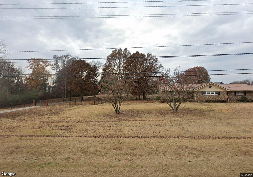
7835 Ooltewah Georgetown Rd Ooltewah, TN 37363
Estimated Value: $1,080,241 - $1,208,000
4
Beds
4
Baths
4,956
Sq Ft
$228/Sq Ft
Est. Value
About This Home
This home is located at 7835 Ooltewah Georgetown Rd, Ooltewah, TN 37363 and is currently estimated at $1,131,747, approximately $228 per square foot. 7835 Ooltewah Georgetown Rd is a home located in Hamilton County with nearby schools including Ooltewah Elementary School, Hunter Middle School, and Ooltewah High School.
Ownership History
Date
Name
Owned For
Owner Type
Purchase Details
Closed on
Apr 27, 2005
Sold by
Bizzoco Dennis Luke and Bizzoco Leslie Marie
Bought by
Eaves Gregory S and Eaves Carrie B
Current Estimated Value
Home Financials for this Owner
Home Financials are based on the most recent Mortgage that was taken out on this home.
Original Mortgage
$359,650
Outstanding Balance
$188,005
Interest Rate
5.88%
Mortgage Type
Fannie Mae Freddie Mac
Estimated Equity
$943,742
Create a Home Valuation Report for This Property
The Home Valuation Report is an in-depth analysis detailing your home's value as well as a comparison with similar homes in the area
Home Values in the Area
Average Home Value in this Area
Purchase History
| Date | Buyer | Sale Price | Title Company |
|---|---|---|---|
| Eaves Gregory S | $452,500 | -- |
Source: Public Records
Mortgage History
| Date | Status | Borrower | Loan Amount |
|---|---|---|---|
| Open | Eaves Gregory S | $359,650 |
Source: Public Records
Tax History Compared to Growth
Tax History
| Year | Tax Paid | Tax Assessment Tax Assessment Total Assessment is a certain percentage of the fair market value that is determined by local assessors to be the total taxable value of land and additions on the property. | Land | Improvement |
|---|---|---|---|---|
| 2024 | $3,461 | $154,675 | $0 | $0 |
| 2023 | $3,470 | $154,675 | $0 | $0 |
| 2022 | $3,470 | $154,675 | $0 | $0 |
| 2021 | $3,470 | $154,675 | $0 | $0 |
| 2020 | $3,815 | $137,625 | $0 | $0 |
| 2019 | $3,815 | $137,625 | $0 | $0 |
| 2018 | $3,815 | $137,625 | $0 | $0 |
| 2017 | $3,815 | $137,625 | $0 | $0 |
| 2016 | $3,488 | $0 | $0 | $0 |
| 2015 | $3,488 | $125,800 | $0 | $0 |
| 2014 | $3,488 | $0 | $0 | $0 |
Source: Public Records
Map
Nearby Homes
- 8524 Fenwick Dr
- 8820 Meadowvale Ct
- The Langford Plan at Wind Haven
- The Buford II Plan at Wind Haven
- The Telfair Plan at Wind Haven
- The Greenbrier II Plan at Wind Haven
- The Crawford Plan at Wind Haven
- The Braselton II Plan at Wind Haven
- The Pearson Plan at Wind Haven
- 8809 Meadowvale Ct
- 8805 Meadowvale Ct
- 8801 Meadowvale Ct
- 8857 Grey Reed Dr
- 7902 Ooltewah Georgetown Rd
- 8594 Kennerly Ct
- 8396 River Birch Loop Unit 37
- 8396 River Birch Loop
- 8502 Kennerly Ct
- 8460 Kennerly Ct
- 8608 Skybrook Dr
- 8423 Front Gate Cir
- 8423 Front Gate Cir Unit 33
- 8427 Front Gate Cir
- 8431 Front Gate Cir
- 8419 Front Gate Cir Unit 32
- 8419 Front Gate Cir
- 8306 Front Gate Cir
- 8306 Front Gate Cir Unit 30
- 8314 Front Gate Cir
- 8314 Front Gate Cir Unit 28
- 7833 Ooltewah Georgetown Rd
- 8318 Front Gate Cir
- 8318 Front Gate Cir Unit 27
- 7909 Ooltewah Georgetown Rd
- 8310 Front Gate Cir
- 8415 Front Gate Cir
- 8322 Front Gate Cir Unit 26
- 8322 Front Gate Cir
- 8326 Front Gate Cir
- 8326 Front Gate Cir Unit 25