Estimated Value: $435,573 - $552,000
2
Beds
2
Baths
1,372
Sq Ft
$346/Sq Ft
Est. Value
About This Home
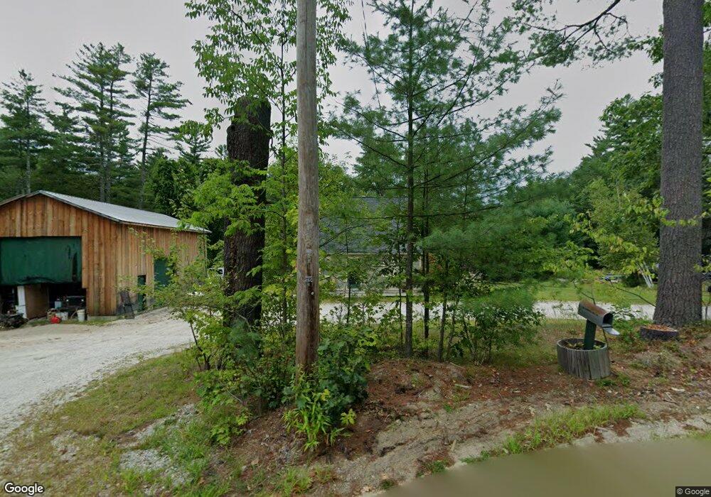
This home is located at 784 Campbell Mill Rd, Mason, NH 03048 and is currently estimated at $474,143, approximately $345 per square foot. 784 Campbell Mill Rd is a home located in Hillsborough County.
Ownership History
Date
Name
Owned For
Owner Type
Purchase Details
Closed on
Jan 23, 2023
Sold by
Chrystal Dean A
Bought by
Dac 2023 Ret and Chrystal
Current Estimated Value
Purchase Details
Closed on
Dec 10, 2010
Sold by
Fnma
Bought by
Chrystal Dean A
Home Financials for this Owner
Home Financials are based on the most recent Mortgage that was taken out on this home.
Original Mortgage
$60,000
Interest Rate
4.24%
Mortgage Type
Purchase Money Mortgage
Purchase Details
Closed on
Aug 2, 2010
Sold by
Ledoux Gary C and Fnma
Bought by
Federal National Mortgage Association
Purchase Details
Closed on
Jan 24, 2003
Sold by
Karkota Frank P
Bought by
Ledoux Gary C and Ledoux Charlene M
Create a Home Valuation Report for This Property
The Home Valuation Report is an in-depth analysis detailing your home's value as well as a comparison with similar homes in the area
Home Values in the Area
Average Home Value in this Area
Purchase History
| Date | Buyer | Sale Price | Title Company |
|---|---|---|---|
| Dac 2023 Ret | -- | None Available | |
| Chrystal Dean A | $72,500 | -- | |
| Federal National Mortgage Association | $146,500 | -- | |
| Ledoux Gary C | $175,000 | -- |
Source: Public Records
Mortgage History
| Date | Status | Borrower | Loan Amount |
|---|---|---|---|
| Previous Owner | Ledoux Gary C | $50,000 | |
| Previous Owner | Ledoux Gary C | $72,500 | |
| Previous Owner | Ledoux Gary C | $60,000 |
Source: Public Records
Tax History Compared to Growth
Tax History
| Year | Tax Paid | Tax Assessment Tax Assessment Total Assessment is a certain percentage of the fair market value that is determined by local assessors to be the total taxable value of land and additions on the property. | Land | Improvement |
|---|---|---|---|---|
| 2024 | $6,771 | $265,000 | $99,800 | $165,200 |
| 2023 | $6,205 | $261,600 | $99,800 | $161,800 |
| 2022 | $5,318 | $261,600 | $99,800 | $161,800 |
| 2021 | $4,732 | $238,500 | $99,800 | $138,700 |
| 2020 | $5,024 | $186,000 | $82,400 | $103,600 |
| 2019 | $4,999 | $190,500 | $82,400 | $108,100 |
| 2018 | $4,797 | $190,500 | $82,400 | $108,100 |
| 2017 | $4,791 | $190,500 | $82,400 | $108,100 |
| 2016 | $4,803 | $190,500 | $82,400 | $108,100 |
| 2015 | $4,813 | $202,400 | $70,700 | $131,700 |
| 2014 | $4,819 | $202,400 | $70,700 | $131,700 |
| 2013 | $5,040 | $202,400 | $70,700 | $131,700 |
Source: Public Records
Map
Nearby Homes
- 9 Winterberry Rd
- 7 Winterberry Rd
- 59 Cleveland Hill Rd
- 38 Countryside Dr
- 3 Ben Farnsworth Rd
- 104 N Mason Rd
- 1235 Townsend Rd
- 1275 Valley Rd
- 6 Laurelcrest Dr
- 75 Merriam Hill Rd
- 22 Hobart Hill Rd
- 5 Carons Way
- 4 Bohanon Bridge Rd
- 15 N End Rd
- 0 Brookline St
- 8 Colburn Rd
- 18 Sawtelle Rd
- 183 New Hillcrest Dr
- 46 Oak Hill Rd
- 47 Pepperell Rd
- 787 Campbell Mill Rd
- 741 Campbell Mill Rd
- 1524 Brookline Rd
- 80 Withee Brook Rd
- H-5,21,23 Brookline
- 675 Campbell Mill Rd
- Lot H-32 Babb Meadow Ln
- 0 Withee Brook Rd
- Map - H Lot 21-3 Withee Brook
- 630 Campbell Mill Rd
- 53 Babb Meadow Ln
- 21 Withee Brook Rd
- 174 Withee Brook Rd
- 73 Withee Brook Rd
- 99 Withee Brook Rd
- 635 Campbell Mill Rd
- 139 Withee Brook Rd
- 87 Babb Meadow Ln
- 51 Withee Brook Rd
- 149 Withee Brook Rd