7840 Fowler Rd Reading, MI 49274
Estimated Value: $251,000 - $475,000
Studio
--
Bath
1,002
Sq Ft
$373/Sq Ft
Est. Value
About This Home
This home is located at 7840 Fowler Rd, Reading, MI 49274 and is currently estimated at $373,850, approximately $373 per square foot. 7840 Fowler Rd is a home with nearby schools including Reynolds Elementary School and Reading High School.
Ownership History
Date
Name
Owned For
Owner Type
Purchase Details
Closed on
Aug 18, 2020
Sold by
Kinney Albert D and Matthews Doralee Kinney
Bought by
Bever Ned A
Current Estimated Value
Purchase Details
Closed on
Oct 9, 2013
Sold by
Kinney Darwin I and Kinney Alice E
Bought by
Kinney Albert D and Matthews Doralee Kinney
Purchase Details
Closed on
Dec 12, 1983
Sold by
Kinney Darwin I and Kinney Alice E
Bought by
Kinney Darwin I and Kinney Alice E
Purchase Details
Closed on
Feb 6, 1983
Sold by
Kinney Israel George
Bought by
Kinney Darwin I
Purchase Details
Closed on
Aug 12, 1980
Sold by
Kinney Israel G
Bought by
Kinney Israel G and Kinney Darwin I
Create a Home Valuation Report for This Property
The Home Valuation Report is an in-depth analysis detailing your home's value as well as a comparison with similar homes in the area
Purchase History
| Date | Buyer | Sale Price | Title Company |
|---|---|---|---|
| Bever Ned A | $288,000 | Midstate Ttl Agcy Of Souther | |
| Kinney Albert D | -- | Public Title Agency | |
| Kinney Darwin I | -- | -- | |
| Kinney Darwin I | -- | -- | |
| Kinney Israel G | -- | -- |
Source: Public Records
Tax History
| Year | Tax Paid | Tax Assessment Tax Assessment Total Assessment is a certain percentage of the fair market value that is determined by local assessors to be the total taxable value of land and additions on the property. | Land | Improvement |
|---|---|---|---|---|
| 2025 | $768 | $233,700 | $0 | $0 |
| 2024 | $7 | $195,800 | $0 | $0 |
| 2023 | $713 | $193,200 | $0 | $0 |
| 2022 | $1,599 | $191,000 | $0 | $0 |
| 2021 | $1,555 | $168,400 | $0 | $0 |
| 2020 | $1,543 | $174,200 | $0 | $0 |
| 2019 | $1,484 | $164,100 | $0 | $0 |
| 2018 | $1,443 | $167,100 | $0 | $0 |
| 2017 | $1,436 | $164,000 | $0 | $0 |
| 2016 | $1,382 | $137,100 | $0 | $0 |
| 2015 | $601 | $137,100 | $0 | $0 |
| 2013 | $582 | $134,000 | $0 | $0 |
| 2012 | $568 | $141,380 | $0 | $0 |
Source: Public Records
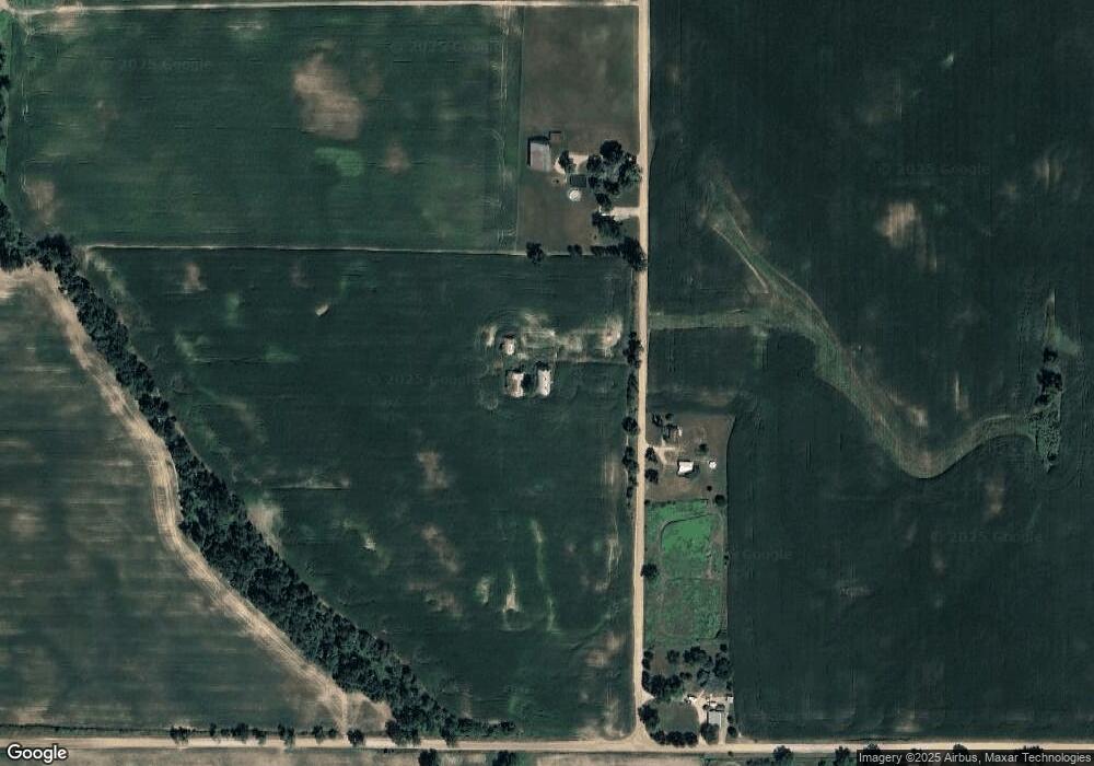
Map
Nearby Homes
- 7944 Gilmore Rd
- 309 S Main St
- 0 Dimmers Rd
- 0 W Silver St Unit 25044322
- 226 Strong St
- 0 Long Lake Rd Unit 26458115
- 0 Long Lake Rd Unit 26009910
- 2713 Lilac Rd
- 4427 Carpenter Rd
- 5211 Long Lake Rd
- 9949 Indian Trail
- 4380 Abbott Rd
- 7535 Popple Ln
- 5482 Circle Dr
- 107 Mary St
- 7841 Topinabee Dr
- 5100 Long Lake Rd
- 5375 Paradise Dr
- 219 N Hayward St
- 203 S Main St
Your Personal Tour Guide
Ask me questions while you tour the home.