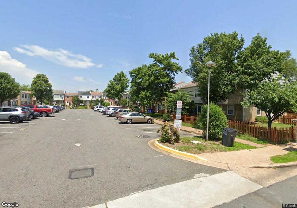
7849 W Point Ct Manassas, VA 20109
Estimated Value: $357,000 - $385,000
3
Beds
1
Bath
1,482
Sq Ft
$251/Sq Ft
Est. Value
About This Home
This home is located at 7849 W Point Ct, Manassas, VA 20109 and is currently estimated at $372,209, approximately $251 per square foot. 7849 W Point Ct is a home located in Prince William County with nearby schools including West Gate Elementary School, Unity Braxton Middle School, and Unity Reed High School.
Ownership History
Date
Name
Owned For
Owner Type
Purchase Details
Closed on
Sep 8, 2003
Sold by
Chicas Tomas
Bought by
Rivas Antonio
Current Estimated Value
Home Financials for this Owner
Home Financials are based on the most recent Mortgage that was taken out on this home.
Original Mortgage
$158,646
Outstanding Balance
$72,481
Interest Rate
6.02%
Mortgage Type
New Conventional
Estimated Equity
$299,728
Create a Home Valuation Report for This Property
The Home Valuation Report is an in-depth analysis detailing your home's value as well as a comparison with similar homes in the area
Home Values in the Area
Average Home Value in this Area
Purchase History
| Date | Buyer | Sale Price | Title Company |
|---|---|---|---|
| Rivas Antonio | $159,900 | -- |
Source: Public Records
Mortgage History
| Date | Status | Borrower | Loan Amount |
|---|---|---|---|
| Open | Rivas Antonio | $158,646 |
Source: Public Records
Tax History Compared to Growth
Tax History
| Year | Tax Paid | Tax Assessment Tax Assessment Total Assessment is a certain percentage of the fair market value that is determined by local assessors to be the total taxable value of land and additions on the property. | Land | Improvement |
|---|---|---|---|---|
| 2025 | $3,131 | $332,700 | $92,000 | $240,700 |
| 2024 | $3,131 | $314,800 | $90,000 | $224,800 |
| 2023 | $2,992 | $287,600 | $65,500 | $222,100 |
| 2022 | $3,201 | $280,400 | $60,000 | $220,400 |
| 2021 | $2,998 | $242,600 | $54,600 | $188,000 |
| 2020 | $3,381 | $218,100 | $54,600 | $163,500 |
| 2019 | $3,292 | $212,400 | $54,500 | $157,900 |
| 2018 | $2,390 | $197,900 | $50,500 | $147,400 |
| 2017 | $2,448 | $195,200 | $50,500 | $144,700 |
| 2016 | $2,399 | $193,000 | $50,500 | $142,500 |
| 2015 | $2,123 | $187,200 | $48,500 | $138,700 |
| 2014 | $2,123 | $166,300 | $48,500 | $117,800 |
Source: Public Records
Map
Nearby Homes
- 8355 Irongate Way
- 8393 Scotland Loop
- 9920 Whitemoss Dr
- Matisse Plan at Lomond Village - Condos
- Picasso Plan at Lomond Village - Condos
- Strauss End Unit Plan at Lomond Village
- 8429 Girvan Ct
- 8555 Fortrose Dr
- 9929 Loudoun Ave
- 7905 Brighton Way
- 10625 Provincial Dr Unit E
- 7832 Brookview Ct
- 7823 Brookview Ct
- 8323 Rolling Rd
- 7608 Bland Dr
- 9902 Grapewood Ct
- 8513 Thomas Dr
- 8720 Sugarwood Ln Unit 1
- 10014 Willow Grove Trail
- 8827 Oak Hollow Ct
- 7847 W West Point Ct
- 7847 W Point Ct
- 7845 W Point Ct
- 7853 W Point Ct
- 7843 W Point Ct
- 7855 W Point Ct
- 7927 Community Dr
- 7857 W Point Ct
- 7841 W Point Ct
- 7861 Community Dr
- 7859 Community Dr
- 7863 Community Dr
- 7865 Community Dr
- 7867 Community Dr
- 7837 W Point Ct
- 7811 W Point Ct
- 7839 W Point Ct
- 7835 W Point Ct
- 7813 W Point Ct
- 7809 W Point Ct