785 Point Rd Del Rio, TN 37727
Estimated Value: $105,000 - $398,000
--
Bed
2
Baths
1,624
Sq Ft
$152/Sq Ft
Est. Value
About This Home
This home is located at 785 Point Rd, Del Rio, TN 37727 and is currently estimated at $247,059, approximately $152 per square foot. 785 Point Rd is a home located in Cocke County with nearby schools including Del Rio Elementary School, Cocke County High School, and Open Door Outreach Christian Academy.
Ownership History
Date
Name
Owned For
Owner Type
Purchase Details
Closed on
Apr 19, 2006
Sold by
Adams Grant Lee
Bought by
Norwood Donald H
Current Estimated Value
Purchase Details
Closed on
Oct 22, 2001
Sold by
Stokely George and Stokely Sheila
Bought by
Adams Grant Lee
Purchase Details
Closed on
Mar 13, 1999
Sold by
Spann Gary
Bought by
Adams Grant
Purchase Details
Closed on
Dec 28, 1993
Sold by
Stokely George
Bought by
Raines Richard
Create a Home Valuation Report for This Property
The Home Valuation Report is an in-depth analysis detailing your home's value as well as a comparison with similar homes in the area
Home Values in the Area
Average Home Value in this Area
Purchase History
| Date | Buyer | Sale Price | Title Company |
|---|---|---|---|
| Norwood Donald H | $29,000 | -- | |
| Adams Grant Lee | $43,000 | -- | |
| Adams Grant | $22,500 | -- | |
| Raines Richard | $69,372 | -- |
Source: Public Records
Tax History Compared to Growth
Tax History
| Year | Tax Paid | Tax Assessment Tax Assessment Total Assessment is a certain percentage of the fair market value that is determined by local assessors to be the total taxable value of land and additions on the property. | Land | Improvement |
|---|---|---|---|---|
| 2024 | $717 | $28,025 | $8,600 | $19,425 |
| 2023 | $717 | $28,025 | $8,600 | $19,425 |
| 2022 | $719 | $28,025 | $8,600 | $19,425 |
| 2021 | $719 | $28,025 | $8,600 | $19,425 |
| 2020 | $719 | $28,025 | $8,600 | $19,425 |
| 2019 | $769 | $27,175 | $8,600 | $18,575 |
| 2018 | $1,025 | $27,175 | $8,600 | $18,575 |
| 2017 | $1,051 | $36,225 | $17,650 | $18,575 |
| 2016 | $937 | $36,225 | $17,650 | $18,575 |
| 2015 | $704 | $36,225 | $17,650 | $18,575 |
| 2014 | $704 | $36,225 | $17,650 | $18,575 |
| 2013 | $704 | $29,350 | $12,675 | $16,675 |
Source: Public Records
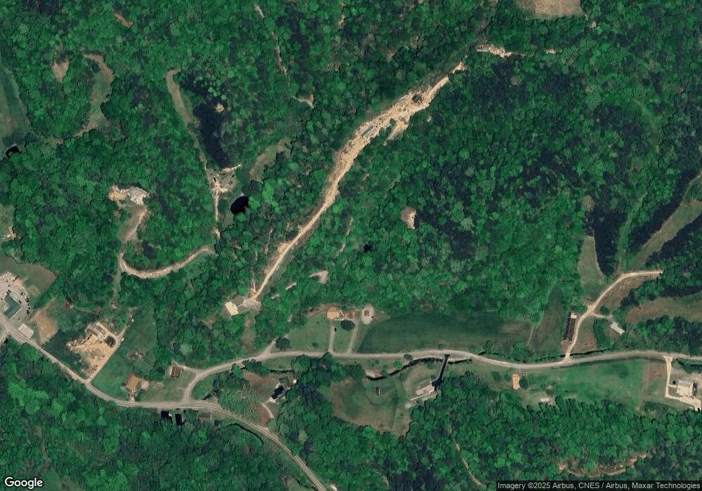
Map
Nearby Homes
- 708 Tennessee 107
- 775 Big Hill Cemetery Rd
- 0 Rocky Creek Rd
- 1026 Blue Mill Rd
- 0 River Rapids Way Unit 1311758
- 0 River Rapids Way Unit 586654
- 0 River Rapids Way Unit 1102136
- 201 Flat Rock Way
- 445 Dry Fork Rd
- 864 Fugate Rd
- 1622 Blue Mill Rd
- 0 Fugate Rd Unit 1314677
- 538 Punkton Rd
- 3781 River Rapids Way
- 0 Huff Overlook Way
- 0 Cougar Trail 9 3 Unit 1294111
- 1272 Peach Orchard Way
- - River Rapids Way
- 0 Cougar Trail 10 1
- 0 Cougar Trail 3ac
- 0 Point Rd
- 846 Barker Branch Rd
- 120 Dry Fork Rd
- 816 Barker Branch Rd
- 816 Barker Branch
- 145 Dry Fork Rd
- 816 Tennessee 107
- 876 Barker Branch Rd
- 833 Highway 107 S
- 825 Highway 107 S
- 816 Highway 107 S
- 821 Highway 107 S
- 151 Dry Fork Rd
- 790 Highway 107 N
- 160 Dry Fork Rd
- 796 Highway 107 S
- 790 Tennessee 107
- 860 Highway 107 S
- 776 Highway 107 S
- 754 Highway 107 S