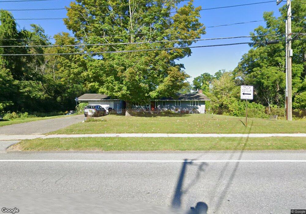
785 South St Dalton, MA 01226
Estimated Value: $325,000 - $579,000
4
Beds
3
Baths
2,592
Sq Ft
$166/Sq Ft
Est. Value
About This Home
This home is located at 785 South St, Dalton, MA 01226 and is currently estimated at $430,143, approximately $165 per square foot. 785 South St is a home located in Berkshire County with nearby schools including Wahconah Regional High School, St. Agnes Academy, and Sacred Heart School.
Ownership History
Date
Name
Owned For
Owner Type
Purchase Details
Closed on
Aug 30, 2016
Sold by
Scolforo James E
Bought by
Scolforo James E and Duffy Susan L
Current Estimated Value
Purchase Details
Closed on
Jul 7, 1997
Sold by
Schnopp Joanna
Bought by
Scolford James E and Duiffy Susan L
Home Financials for this Owner
Home Financials are based on the most recent Mortgage that was taken out on this home.
Original Mortgage
$89,300
Interest Rate
7.86%
Mortgage Type
Purchase Money Mortgage
Purchase Details
Closed on
Mar 26, 1997
Sold by
Mcdermott John J and Mcdermott Paula C
Bought by
Schnopp Joanna
Create a Home Valuation Report for This Property
The Home Valuation Report is an in-depth analysis detailing your home's value as well as a comparison with similar homes in the area
Home Values in the Area
Average Home Value in this Area
Purchase History
| Date | Buyer | Sale Price | Title Company |
|---|---|---|---|
| Scolforo James E | -- | -- | |
| Scolforo James E | -- | -- | |
| Scolford James E | $87,000 | -- | |
| Scolford James E | $87,000 | -- | |
| Schnopp Joanna | $85,000 | -- | |
| Schnopp Joanna | $85,000 | -- |
Source: Public Records
Mortgage History
| Date | Status | Borrower | Loan Amount |
|---|---|---|---|
| Previous Owner | Schnopp Joanna | $16,000 | |
| Previous Owner | Schnopp Joanna | $7,540 | |
| Previous Owner | Schnopp Joanna | $89,300 |
Source: Public Records
Tax History Compared to Growth
Tax History
| Year | Tax Paid | Tax Assessment Tax Assessment Total Assessment is a certain percentage of the fair market value that is determined by local assessors to be the total taxable value of land and additions on the property. | Land | Improvement |
|---|---|---|---|---|
| 2025 | $5,372 | $296,300 | $63,500 | $232,800 |
| 2024 | $5,172 | $284,200 | $58,400 | $225,800 |
| 2023 | $4,453 | $247,000 | $53,300 | $193,700 |
| 2022 | $4,453 | $214,700 | $53,300 | $161,400 |
| 2021 | $4,384 | $203,800 | $49,400 | $154,400 |
| 2020 | $3,983 | $196,300 | $49,400 | $146,900 |
| 2019 | $3,701 | $190,000 | $49,800 | $140,200 |
| 2018 | $3,675 | $184,600 | $49,800 | $134,800 |
| 2017 | $3,668 | $184,600 | $49,800 | $134,800 |
| 2016 | $3,624 | $184,600 | $49,800 | $134,800 |
| 2015 | $3,573 | $183,500 | $49,800 | $133,700 |
Source: Public Records
Map
Nearby Homes
- 48 Elaine Ave
- 127 Barton Hill Rd
- 0 Crane Ave
- 9 Crane Ave
- 1994 East St
- 44 Eleanor Rd
- 13 Pleasantview Dr
- 304 Dalton Division Rd
- 39 Highlawn Dr
- 29 John St
- 144 Kittredge Rd
- 82 Williamsburg Terrace
- 67 Oak Street Extension
- 196 Park Ave
- 387 Dalton Division Rd
- 164 Depot St
- 45 Patricia Ave
- 321 High St
- 111 High St
- 750 Main St