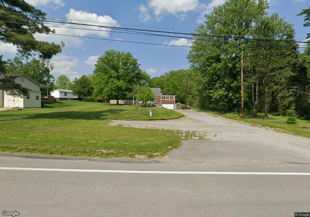
786 State Route 356 Apollo, PA 15613
Allegheny Township NeighborhoodEstimated Value: $58,162 - $212,000
--
Bed
--
Bath
--
Sq Ft
0.64
Acres
About This Home
This home is located at 786 State Route 356, Apollo, PA 15613 and is currently estimated at $134,791. 786 State Route 356 is a home located in Westmoreland County with nearby schools including Kiski Area High School.
Ownership History
Date
Name
Owned For
Owner Type
Purchase Details
Closed on
Nov 20, 2002
Sold by
Mccutcheon Bennie L and Mccutcheon Helen D
Bought by
Wilkosz Edward C and Wilkosz Ilona R
Current Estimated Value
Home Financials for this Owner
Home Financials are based on the most recent Mortgage that was taken out on this home.
Original Mortgage
$74,000
Interest Rate
6.16%
Create a Home Valuation Report for This Property
The Home Valuation Report is an in-depth analysis detailing your home's value as well as a comparison with similar homes in the area
Home Values in the Area
Average Home Value in this Area
Purchase History
| Date | Buyer | Sale Price | Title Company |
|---|---|---|---|
| Wilkosz Edward C | $93,000 | -- |
Source: Public Records
Mortgage History
| Date | Status | Borrower | Loan Amount |
|---|---|---|---|
| Closed | Wilkosz Edward C | $74,000 |
Source: Public Records
Tax History Compared to Growth
Tax History
| Year | Tax Paid | Tax Assessment Tax Assessment Total Assessment is a certain percentage of the fair market value that is determined by local assessors to be the total taxable value of land and additions on the property. | Land | Improvement |
|---|---|---|---|---|
| 2025 | $2,354 | $15,520 | $2,500 | $13,020 |
| 2024 | $2,233 | $15,520 | $2,500 | $13,020 |
| 2023 | $2,042 | $15,520 | $2,500 | $13,020 |
| 2022 | $1,996 | $15,520 | $2,500 | $13,020 |
| 2021 | $1,996 | $15,520 | $2,500 | $13,020 |
| 2020 | $1,991 | $15,520 | $2,500 | $13,020 |
| 2019 | $1,983 | $15,520 | $2,500 | $13,020 |
| 2018 | $1,952 | $15,520 | $2,500 | $13,020 |
| 2017 | $1,906 | $15,520 | $2,500 | $13,020 |
| 2016 | $1,877 | $15,520 | $2,500 | $13,020 |
| 2015 | $1,877 | $15,520 | $2,500 | $13,020 |
| 2014 | $1,867 | $15,520 | $2,500 | $13,020 |
Source: Public Records
Map
Nearby Homes
- 894 State Route 356
- 844 Hawk Valley Dr
- 620 Cedar Ridge Dr
- 1179 School Rd
- 519 Dogwood Ct
- 501 State Route 356
- 716 Pennsylvania 356
- 704-706 Holland St
- 2632 River Rd
- 512 Watson St
- 528 Longfellow St
- 533A Walnut St
- 439 Longfellow St
- 517 Sycamore St
- 311 Lowell St
- 314 1/2 Lowell St
- 231 Whittier St
- 314 Lowell St Unit 1/2
- 410 Longfellow St
- 303 Lowell St
- 86 Ashland Way
- 82 Ashland Way
- 100 Ashland Way
- 78 Ashland Way
- 774 Rt 356
- 68 Ashland Way
- 40 La Belle Vue Rd
- 56 Ashland Way
- 67 Ashland Way
- 54 La Belle Vue Rd
- 20 Stacy Way
- 772 State Route 356
- 42 Ashland Way
- 33 Ashland Way
- 766 State Route 356
- 766 State Route 356
- 11 Locust Ln
- 22 Locust Ln
- 200 La Belle Vue Rd
- 764 State Route 356