7866 Norris Ave NW Annandale, MN 55302
Estimated Value: $542,806 - $643,000
2
Beds
2
Baths
2,220
Sq Ft
$262/Sq Ft
Est. Value
About This Home
This home is located at 7866 Norris Ave NW, Annandale, MN 55302 and is currently estimated at $582,452, approximately $262 per square foot. 7866 Norris Ave NW is a home located in Wright County with nearby schools including Annandale Elementary School, Annandale Middle School, and Annandale Senior High School.
Ownership History
Date
Name
Owned For
Owner Type
Purchase Details
Closed on
Dec 23, 2020
Sold by
Peterson Marilyn R
Bought by
Kosloski Steven and Kosloski Kelly
Current Estimated Value
Home Financials for this Owner
Home Financials are based on the most recent Mortgage that was taken out on this home.
Original Mortgage
$347,200
Outstanding Balance
$309,112
Interest Rate
2.7%
Mortgage Type
New Conventional
Estimated Equity
$273,340
Create a Home Valuation Report for This Property
The Home Valuation Report is an in-depth analysis detailing your home's value as well as a comparison with similar homes in the area
Home Values in the Area
Average Home Value in this Area
Purchase History
| Date | Buyer | Sale Price | Title Company |
|---|---|---|---|
| Kosloski Steven | $434,000 | Title Mark Llc | |
| Kosloski Steven Steven | $434,000 | -- |
Source: Public Records
Mortgage History
| Date | Status | Borrower | Loan Amount |
|---|---|---|---|
| Open | Kosloski Steven | $347,200 | |
| Closed | Kosloski Steven Steven | $347,200 |
Source: Public Records
Tax History Compared to Growth
Tax History
| Year | Tax Paid | Tax Assessment Tax Assessment Total Assessment is a certain percentage of the fair market value that is determined by local assessors to be the total taxable value of land and additions on the property. | Land | Improvement |
|---|---|---|---|---|
| 2025 | $3,812 | $516,500 | $227,000 | $289,500 |
| 2024 | $3,452 | $503,100 | $227,000 | $276,100 |
| 2023 | $3,506 | $468,400 | $201,800 | $266,600 |
| 2022 | $2,900 | $434,500 | $186,600 | $247,900 |
| 2021 | $2,884 | $315,700 | $107,200 | $208,500 |
| 2020 | $2,860 | $296,200 | $103,400 | $192,800 |
| 2019 | $2,638 | $291,200 | $0 | $0 |
| 2018 | $2,466 | $281,700 | $0 | $0 |
| 2017 | $2,274 | $270,900 | $0 | $0 |
| 2016 | $2,190 | $0 | $0 | $0 |
| 2015 | $2,108 | $0 | $0 | $0 |
| 2014 | -- | $0 | $0 | $0 |
Source: Public Records
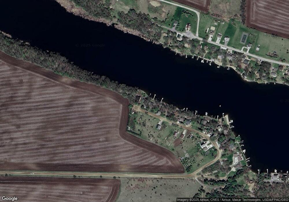
Map
Nearby Homes
- 7939 Lake John Dr
- 7550 Lake John Dr
- 7560 Lake John Dr
- 7620 Lake John Dr
- 7610 Lake John Dr
- 7541 Lake John Dr
- 7425 Nevens Ave NW
- 7581 Lake John Dr
- 7551 Lake John Dr
- 14264 74th St NW
- 0 80th St NW
- 810 Morrison Ave NW
- 800 Morrison Ave NW
- 750 Morrison Ave S
- 844 Beech Ln S
- 945 Acacia Cir S
- TBD-XXC Pilger Ave NW
- Olson Plan at Triplett Farms
- Lincoln Plan at Triplett Farms
- Goodhue Plan at Triplett Farms
- 7862 Norris Ave NW
- 7870 Norris Ave NW
- 7856 Norris Ave NW
- 7846 Norris Ave NW
- XXXX Norris Ave NW
- 7840 Norris Ave NW
- 7836 Norris Ave NW
- 7828 Norris Ave NW
- 13519 13519 80th-Street-nw
- 7822 Norris Ave NW
- 13505 80th St NW
- 13475 80th St NW
- 13553 80th St NW
- 7816 Norris Ave NW
- 13519 80th St NW
- 7810 Norris Ave NW
- 13455 80th St NW
- 13441 80th St NW
- 7804 Norris Ave NW
- 13431 80th St NW