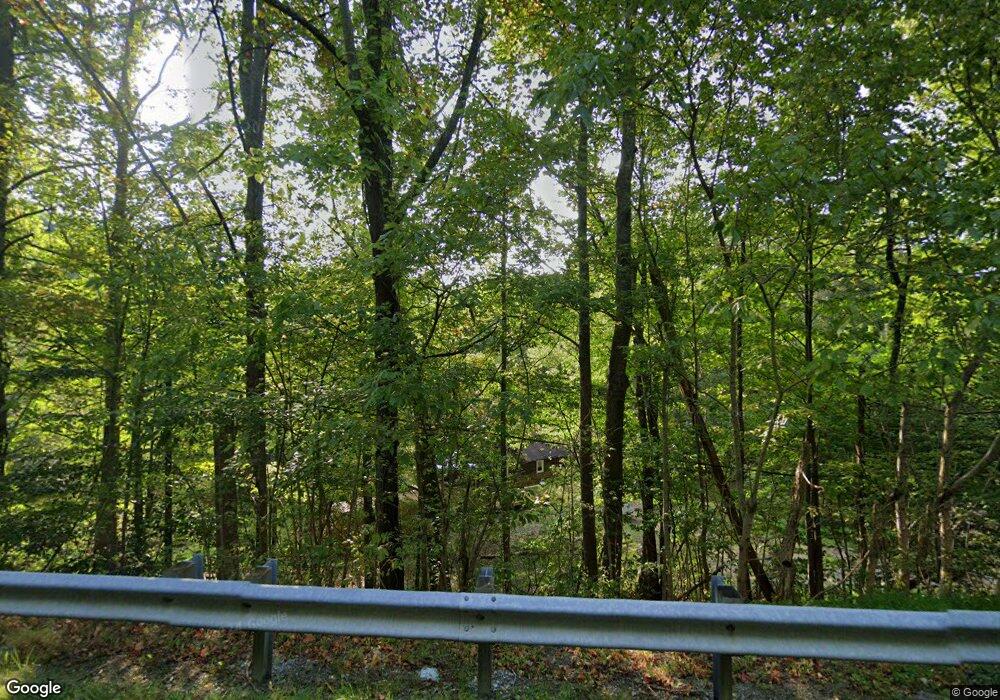
7869 Highway 321 Butler, TN 37640
Estimated Value: $69,000 - $129,000
--
Bed
1
Bath
1,182
Sq Ft
$77/Sq Ft
Est. Value
About This Home
This home is located at 7869 Highway 321, Butler, TN 37640 and is currently estimated at $90,822, approximately $76 per square foot. 7869 Highway 321 is a home located in Johnson County with nearby schools including Johnson County Middle School and Johnson County High School.
Ownership History
Date
Name
Owned For
Owner Type
Purchase Details
Closed on
Sep 20, 2023
Sold by
Montgomery Miranda and Pearson Alan D
Bought by
Miller Kaitlin Marissa and Roberts Mark Andrew
Current Estimated Value
Purchase Details
Closed on
Oct 21, 1991
Bought by
Pearson Jerry
Purchase Details
Closed on
Feb 20, 1986
Bought by
Pearson Jerry and Pearson Mildred
Purchase Details
Closed on
Mar 6, 1971
Bought by
Pearson Jerry and Pearson Mildred
Create a Home Valuation Report for This Property
The Home Valuation Report is an in-depth analysis detailing your home's value as well as a comparison with similar homes in the area
Home Values in the Area
Average Home Value in this Area
Purchase History
| Date | Buyer | Sale Price | Title Company |
|---|---|---|---|
| Miller Kaitlin Marissa | $65,000 | None Listed On Document | |
| Pearson Jerry | -- | -- | |
| Pearson Jerry | -- | -- | |
| Pearson Jerry | -- | -- |
Source: Public Records
Tax History Compared to Growth
Tax History
| Year | Tax Paid | Tax Assessment Tax Assessment Total Assessment is a certain percentage of the fair market value that is determined by local assessors to be the total taxable value of land and additions on the property. | Land | Improvement |
|---|---|---|---|---|
| 2024 | $422 | $19,075 | $1,225 | $17,850 |
| 2023 | $422 | $19,075 | $1,225 | $17,850 |
| 2022 | $345 | $19,075 | $1,225 | $17,850 |
| 2021 | $345 | $19,075 | $1,225 | $17,850 |
| 2020 | $322 | $19,075 | $1,225 | $17,850 |
| 2019 | $322 | $15,700 | $1,225 | $14,475 |
| 2018 | $322 | $15,700 | $1,225 | $14,475 |
| 2017 | $322 | $15,700 | $1,225 | $14,475 |
| 2016 | $322 | $15,700 | $1,225 | $14,475 |
| 2015 | $284 | $15,700 | $1,225 | $14,475 |
| 2014 | $305 | $16,850 | $1,225 | $15,625 |
Source: Public Records
Map
Nearby Homes
- Tbd Banjo Ridge Rd
- 841 Green Rd
- Tbd Dark Hollow Private Dr
- 477 Bridle Path
- 512 Bridle Path
- 476 Bridle Path
- 14,23,26 Gordon Ridge Rd
- Tbd Cowan Town Rd
- Tbd Buntontown & Norris Rd
- 1881 Norris Rd
- Lot 10 Norris Rd
- Lot 34 Norris Rd
- Lot 35 Norris Rd
- Lot 33 Norris Rd
- 512 Norris Rd ( Bridle Path) Rd
- Lot 24 Cowan Town Rd
- 0 Lipford Trail
- Lot 28 Eagle Ridge Pkwy
- Lot 45 Eagle Ridge Pkwy
- Lot 42 Eagle Ridge Pkwy
- 1417 Greggs Branch Rd
- Tbd Hwy 321 Rd
- 1439 Greggs Branch Rd
- 1127 Greggs Branch Rd
- 1414 Greggs Branch Rd
- 1402 Greggs Branch Rd
- 1402 Greggs Branch Rd
- 193 Greggs Branch Rd
- 1418 Greggs Branch Rd
- 8040 Highway 321
- 8040 Highway 321
- 573 Banjo Ridge Rd
- Tbd SW Greggs Branch Rd Lot 38
- Tbd SW Greggs Branch Rd Lot 34
- 570 Banjo Ridge Rd
- 450 Banjo Ridge Rd
- 493 Banjo Ridge Rd
- 7141 U S 321
- 397 Banjo Ridge Rd
- 379 Banjo Ridge Rd
