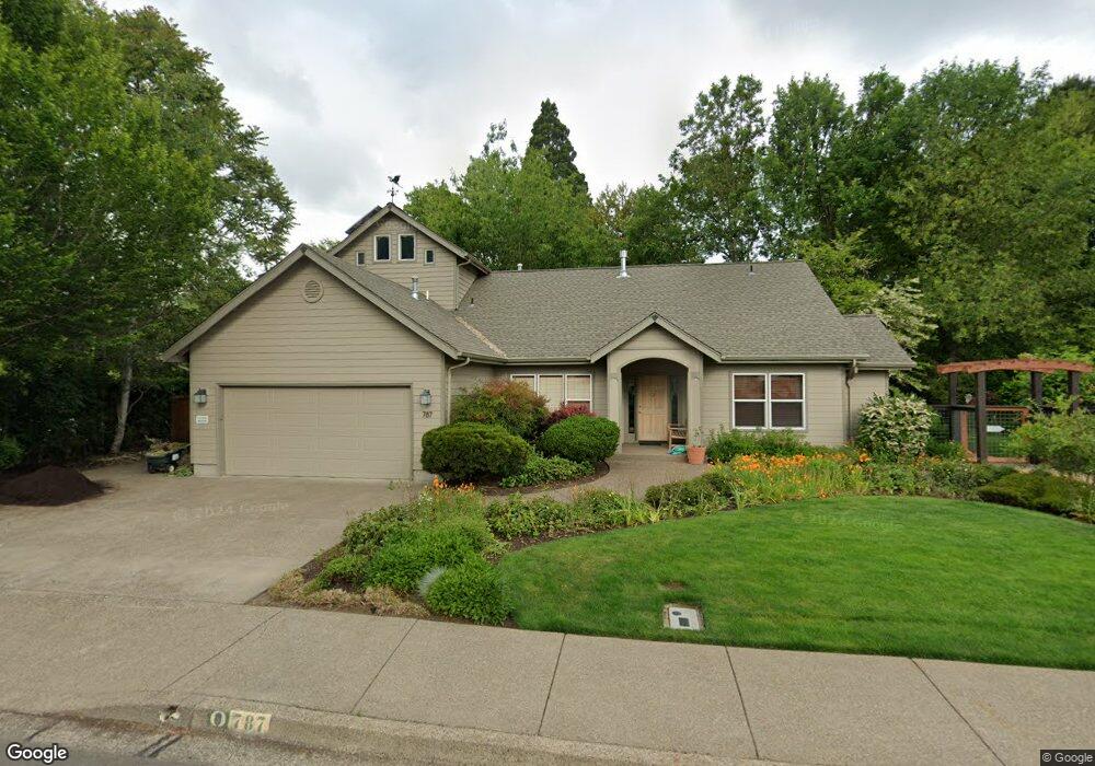
787 Audel Ave Eugene, OR 97404
River Road NeighborhoodEstimated Value: $573,937 - $617,000
3
Beds
4
Baths
2,222
Sq Ft
$268/Sq Ft
Est. Value
About This Home
This home is located at 787 Audel Ave, Eugene, OR 97404 and is currently estimated at $594,484, approximately $267 per square foot. 787 Audel Ave is a home located in Lane County with nearby schools including Howard Elementary School, Kelly Middle School, and North Eugene High School.
Ownership History
Date
Name
Owned For
Owner Type
Purchase Details
Closed on
Dec 12, 2006
Sold by
Lawrence Linda J
Bought by
Canaga Robert L and Lawrence Linda J
Current Estimated Value
Purchase Details
Closed on
Nov 17, 1999
Sold by
Lawrence Linda J
Bought by
Canaga R L and Lawrence Linda J
Create a Home Valuation Report for This Property
The Home Valuation Report is an in-depth analysis detailing your home's value as well as a comparison with similar homes in the area
Home Values in the Area
Average Home Value in this Area
Purchase History
| Date | Buyer | Sale Price | Title Company |
|---|---|---|---|
| Canaga Robert L | -- | None Available | |
| Canaga R L | -- | -- |
Source: Public Records
Tax History
| Year | Tax Paid | Tax Assessment Tax Assessment Total Assessment is a certain percentage of the fair market value that is determined by local assessors to be the total taxable value of land and additions on the property. | Land | Improvement |
|---|---|---|---|---|
| 2025 | $6,394 | $359,728 | -- | -- |
| 2024 | $6,314 | $349,251 | -- | -- |
| 2023 | $6,314 | $339,079 | $0 | $0 |
| 2022 | $5,915 | $329,203 | $0 | $0 |
| 2021 | $5,556 | $319,615 | $0 | $0 |
| 2020 | $5,492 | $310,306 | $0 | $0 |
| 2019 | $5,276 | $301,268 | $0 | $0 |
| 2018 | $4,920 | $283,975 | $0 | $0 |
| 2017 | $4,591 | $283,975 | $0 | $0 |
| 2016 | $4,437 | $275,704 | $0 | $0 |
| 2015 | $4,259 | $267,674 | $0 | $0 |
| 2014 | $4,566 | $259,878 | $0 | $0 |
Source: Public Records
Map
Nearby Homes
- 788 Cornwall Ave
- 1314 Dalton Dr
- 1164 Veronica Ln
- 1633 Zoe Ave
- 1010 Horn Ln
- 1566 Maywood Ave
- 895 Glory Dr
- 1360 Andersen Ln
- 1555 Escalante St
- 1682 Hemlock St
- 2002 Kintyre St
- 1483 Barton St
- 1487 Barton St
- 1755 Brentwood Ave
- 389 Maxwell Rd
- 1384 Jacobs Dr
- 1420 Evergreen Dr
- 1035 Madera St
- 3461 Concord St
- 820 Park Terrace
Your Personal Tour Guide
Ask me questions while you tour the home.