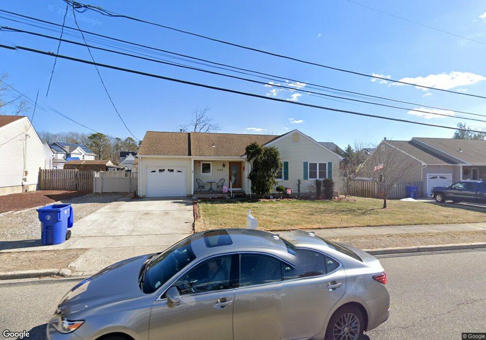
787 Dunedin St Toms River, NJ 08753
Estimated Value: $475,000 - $519,000
3
Beds
2
Baths
1,254
Sq Ft
$393/Sq Ft
Est. Value
About This Home
This home is located at 787 Dunedin St, Toms River, NJ 08753 and is currently estimated at $493,179, approximately $393 per square foot. 787 Dunedin St is a home located in Ocean County with nearby schools including St Joseph Grade School and Donovan Catholic High School.
Ownership History
Date
Name
Owned For
Owner Type
Purchase Details
Closed on
Oct 7, 2005
Sold by
Scalcione Raymond A and Scalcione Victoria M
Bought by
Cosgrove Daniel and Cosgrove Joann
Current Estimated Value
Home Financials for this Owner
Home Financials are based on the most recent Mortgage that was taken out on this home.
Original Mortgage
$205,000
Outstanding Balance
$109,864
Interest Rate
5.78%
Mortgage Type
Fannie Mae Freddie Mac
Estimated Equity
$383,315
Purchase Details
Closed on
Nov 16, 1999
Sold by
Niosi Evelyn A and Hock Felicia M
Bought by
Scalcione Raymond A
Home Financials for this Owner
Home Financials are based on the most recent Mortgage that was taken out on this home.
Original Mortgage
$119,900
Interest Rate
7.9%
Mortgage Type
FHA
Purchase Details
Closed on
Jan 29, 1999
Sold by
Romaine Harry H and Romaine Ursula F
Bought by
Romaine Harry H
Create a Home Valuation Report for This Property
The Home Valuation Report is an in-depth analysis detailing your home's value as well as a comparison with similar homes in the area
Home Values in the Area
Average Home Value in this Area
Purchase History
| Date | Buyer | Sale Price | Title Company |
|---|---|---|---|
| Cosgrove Daniel | $305,000 | Couch-Braunsdorf Title Agenc | |
| Scalcione Raymond A | $120,000 | New Jersey Title Insurance C | |
| Romaine Harry H | -- | -- |
Source: Public Records
Mortgage History
| Date | Status | Borrower | Loan Amount |
|---|---|---|---|
| Open | Cosgrove Daniel | $205,000 | |
| Previous Owner | Scalcione Raymond A | $119,900 |
Source: Public Records
Tax History Compared to Growth
Tax History
| Year | Tax Paid | Tax Assessment Tax Assessment Total Assessment is a certain percentage of the fair market value that is determined by local assessors to be the total taxable value of land and additions on the property. | Land | Improvement |
|---|---|---|---|---|
| 2025 | $6,257 | $343,600 | $143,000 | $200,600 |
| 2024 | $5,948 | $343,600 | $143,000 | $200,600 |
| 2023 | $5,735 | $343,600 | $143,000 | $200,600 |
| 2022 | $5,735 | $343,600 | $143,000 | $200,600 |
| 2021 | $5,053 | $201,700 | $89,500 | $112,200 |
| 2020 | $5,030 | $201,700 | $89,500 | $112,200 |
| 2019 | $4,813 | $201,700 | $89,500 | $112,200 |
| 2018 | $4,748 | $201,700 | $89,500 | $112,200 |
| 2017 | $4,708 | $201,700 | $89,500 | $112,200 |
| 2016 | $4,585 | $201,700 | $89,500 | $112,200 |
| 2015 | $4,411 | $201,700 | $89,500 | $112,200 |
| 2014 | $4,199 | $201,700 | $89,500 | $112,200 |
Source: Public Records
Map
Nearby Homes
- 779 Nebraska Ave
- 786 Nebraska Ave
- 804 Neville St
- 1013 Bay Ave
- 741 Michigan Ave
- 5 Selena Place
- 1052 Bell St
- 798A Warren St Unit A
- 1109 Carriage Ct
- 984 Westminster Dr
- 872 Devonshire Rd
- 693 Vaughn Ave
- 914 Neville St
- 1417 Delaware Ave
- 1915 Red Cedar St
- 977 Stafford Dr
- 893 New Jersey Ave
- 1042 Roxbury Ln
- 1097 Westlake Dr
- 1905 Ravenwood Dr