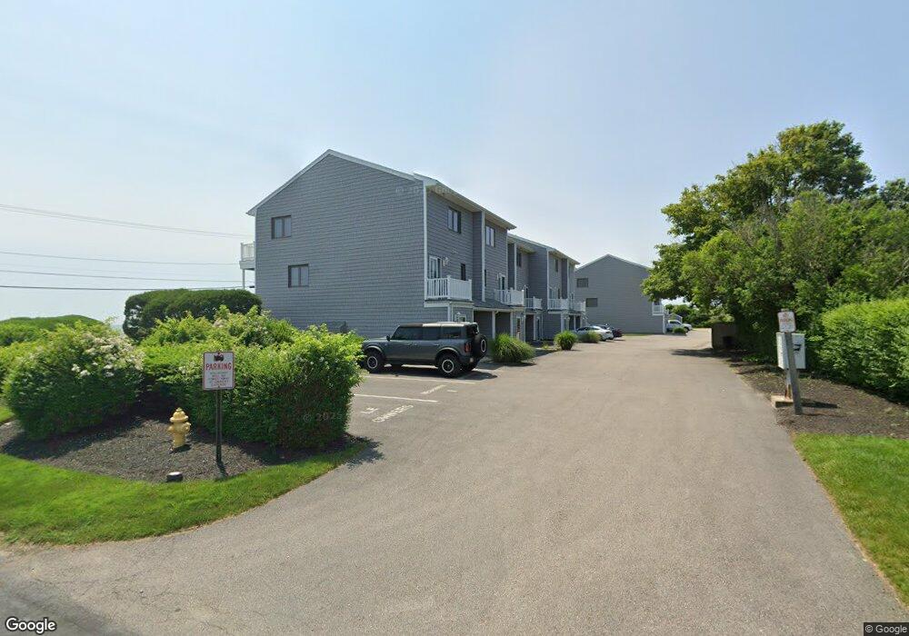
787 Ocean Rd Unit 11 Narragansett, RI 02882
Estimated Value: $832,000 - $1,215,000
2
Beds
2
Baths
1,472
Sq Ft
$684/Sq Ft
Est. Value
About This Home
This home is located at 787 Ocean Rd Unit 11, Narragansett, RI 02882 and is currently estimated at $1,007,138, approximately $684 per square foot. 787 Ocean Rd Unit 11 is a home located in Washington County with nearby schools including Narragansett Elementary School, Narragansett Pier Middle School, and Narragansett High School.
Ownership History
Date
Name
Owned For
Owner Type
Purchase Details
Closed on
Jun 1, 2016
Sold by
Rainaldi William F
Bought by
Rainaldi William F
Current Estimated Value
Purchase Details
Closed on
Mar 20, 2015
Sold by
Rainaldi Frank L
Bought by
Rainaldi John M and Rainaldi Sandra
Purchase Details
Closed on
Aug 18, 2014
Sold by
Rainaldi Frank L
Bought by
Frank L Rainaldi Ret
Purchase Details
Closed on
Feb 4, 1986
Bought by
Frank L Rainaldi Ret
Create a Home Valuation Report for This Property
The Home Valuation Report is an in-depth analysis detailing your home's value as well as a comparison with similar homes in the area
Home Values in the Area
Average Home Value in this Area
Purchase History
| Date | Buyer | Sale Price | Title Company |
|---|---|---|---|
| Rainaldi William F | -- | -- | |
| Rainaldi John M | -- | -- | |
| Rainaldi John M | -- | -- | |
| Frank L Rainaldi Ret | -- | -- | |
| Frank L Rainaldi Ret | -- | -- |
Source: Public Records
Tax History Compared to Growth
Tax History
| Year | Tax Paid | Tax Assessment Tax Assessment Total Assessment is a certain percentage of the fair market value that is determined by local assessors to be the total taxable value of land and additions on the property. | Land | Improvement |
|---|---|---|---|---|
| 2024 | $6,110 | $932,800 | $0 | $932,800 |
| 2023 | $5,734 | $615,900 | $0 | $615,900 |
| 2022 | $5,543 | $615,900 | $0 | $615,900 |
| 2021 | $5,457 | $615,900 | $0 | $615,900 |
| 2020 | $5,052 | $482,100 | $0 | $482,100 |
| 2019 | $4,932 | $482,100 | $0 | $482,100 |
| 2018 | $4,720 | $474,400 | $0 | $474,400 |
| 2017 | $5,488 | $519,700 | $0 | $519,700 |
| 2016 | $5,239 | $519,700 | $0 | $519,700 |
| 2015 | $5,166 | $519,700 | $0 | $519,700 |
| 2014 | $4,220 | $420,300 | $0 | $420,300 |
Source: Public Records
Map
Nearby Homes
- 41 Fox Dr
- 64 Burnside Ave
- 27 Foster Ln
- 16 Newport Ln
- 660 Point Judith Rd Unit D2
- 8 Knowlesway
- 576 Point Judith Rd
- 0 Daytona Ave
- 45 Durkin Dr
- 1044 Ocean Rd
- 1046 Ocean Rd
- 31 E Pond Rd
- 8 Pocono Rd
- 101 Kenyon Farm Rd
- 6 Pendleton Place
- 2 Blindbrook Dr
- 17 Goose Island Rd
- 147 Foddering Farm Rd
- 20 Marine Dr
- 0 Houston Ave
- 787 Ocean Rd Unit 2
- 787 Ocean Rd Unit 8
- 787 Ocean Rd Unit 3
- 787 Ocean Rd Unit 4
- 787 Ocean Rd Unit 6
- 787 Ocean Rd Unit 9
- 787 Ocean Rd Unit 7
- 787 Ocean Rd Unit 5
- 787 Ocean Rd Unit 10
- 787 Ocean Rd Unit 1
- 801 Ocean Rd
- 23 Bishop Rd
- 10 Walcott Ave
- 0 Walcott Ave
- 16 Walcott Ave
- 811 Ocean Rd Unit Main
- 811 Ocean Rd Unit 1
- 811 Ocean Rd Unit 2
- 779 Ocean Rd
- 26 Bishop Rd