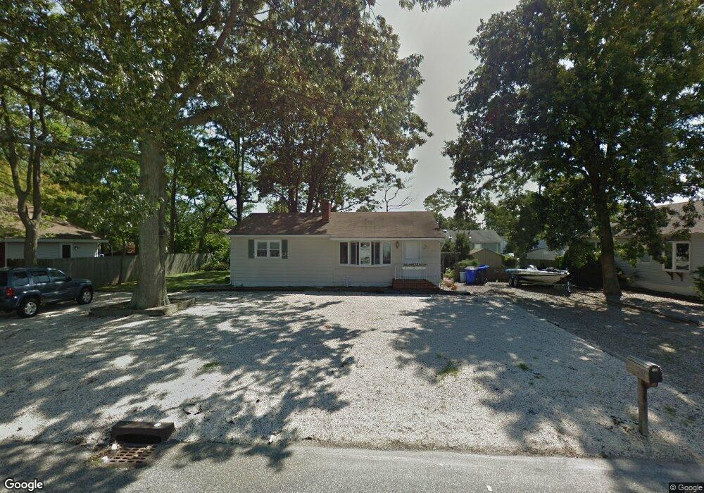
787 Tunney Point Dr Toms River, NJ 08753
Estimated Value: $394,323 - $538,000
2
Beds
1
Bath
1,920
Sq Ft
$232/Sq Ft
Est. Value
About This Home
This home is located at 787 Tunney Point Dr, Toms River, NJ 08753 and is currently estimated at $445,581, approximately $232 per square foot. 787 Tunney Point Dr is a home located in Ocean County with nearby schools including St Joseph Grade School and Donovan Catholic High School.
Ownership History
Date
Name
Owned For
Owner Type
Purchase Details
Closed on
Jul 20, 2023
Sold by
Engleke Robert G
Bought by
Engleke Robert G and Engleke Linda A
Current Estimated Value
Purchase Details
Closed on
Jun 28, 1994
Sold by
Willson Ann M
Bought by
Engleke Robert G
Home Financials for this Owner
Home Financials are based on the most recent Mortgage that was taken out on this home.
Original Mortgage
$79,000
Interest Rate
8.51%
Create a Home Valuation Report for This Property
The Home Valuation Report is an in-depth analysis detailing your home's value as well as a comparison with similar homes in the area
Home Values in the Area
Average Home Value in this Area
Purchase History
| Date | Buyer | Sale Price | Title Company |
|---|---|---|---|
| Engleke Robert G | -- | None Listed On Document | |
| Engleke Robert G | -- | None Listed On Document | |
| Engleke Robert G | $88,500 | -- |
Source: Public Records
Mortgage History
| Date | Status | Borrower | Loan Amount |
|---|---|---|---|
| Previous Owner | Engleke Robert G | $79,000 |
Source: Public Records
Tax History Compared to Growth
Tax History
| Year | Tax Paid | Tax Assessment Tax Assessment Total Assessment is a certain percentage of the fair market value that is determined by local assessors to be the total taxable value of land and additions on the property. | Land | Improvement |
|---|---|---|---|---|
| 2025 | $5,397 | $296,400 | $151,000 | $145,400 |
| 2024 | $5,131 | $296,400 | $151,000 | $145,400 |
| 2023 | $4,947 | $296,400 | $151,000 | $145,400 |
| 2022 | $4,947 | $296,400 | $151,000 | $145,400 |
| 2021 | $4,018 | $166,700 | $90,500 | $76,200 |
| 2020 | $4,158 | $166,700 | $90,500 | $76,200 |
| 2019 | $3,977 | $166,700 | $90,500 | $76,200 |
| 2018 | $3,924 | $166,700 | $90,500 | $76,200 |
| 2017 | $3,891 | $166,700 | $90,500 | $76,200 |
| 2016 | $3,789 | $166,700 | $90,500 | $76,200 |
| 2015 | $3,646 | $166,700 | $90,500 | $76,200 |
| 2014 | $3,471 | $166,700 | $90,500 | $76,200 |
Source: Public Records
Map
Nearby Homes
- 1309 Bay Ave
- 2570 Balfrey Dr
- 786 Garfield Ave
- 4 Jamaica Ave
- 1417 Delaware Ave
- 6 Cayman Ave
- 657 Ellicott Ave Unit 101
- 663 Beachwood Ave
- 103 Mermaid Rd
- 975 Hunt Dr
- 3158 Windsor Ave
- 804 Neville St
- 213 Hamilton Dr
- 19 Maryann Place
- 3138 Windsor Ave
- 3129 Windsor Ave
- 625 N End Ave
- 914 Neville St
- 590 Garfield Ave
- 3 Cove Point Rd
- 793 Tunney Point Dr
- 783 Tunney Point Dr
- 1287 Linda Dr
- 1289 Linda Dr
- 784 Tunney Point Dr
- 795 Tunney Point Dr
- 781 Tunney Point Dr
- 782 Tunney Point Dr
- 1291 Linda Dr
- 780 Tunney Point Dr
- 2432 Stanley Dr
- 1285 Linda Dr
- 2429 Stanley Dr
- 778 Tunney Point Dr
- 796 Tunney Point Dr
- 797 Tunney Point Dr
- 1288 Linda Dr
- 2430 Stanley Dr
- 1293 Linda Dr