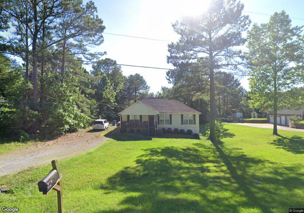
787 Vaughn Rd Trafford, AL 35172
Estimated Value: $187,000 - $261,000
3
Beds
2
Baths
1,384
Sq Ft
$164/Sq Ft
Est. Value
About This Home
This home is located at 787 Vaughn Rd, Trafford, AL 35172 and is currently estimated at $226,536, approximately $163 per square foot. 787 Vaughn Rd is a home located in Blount County with nearby schools including Locust Fork Elementary School and Locust Fork High School.
Ownership History
Date
Name
Owned For
Owner Type
Purchase Details
Closed on
May 2, 2008
Sold by
Dorman Barry E
Bought by
Long Andrew D
Current Estimated Value
Home Financials for this Owner
Home Financials are based on the most recent Mortgage that was taken out on this home.
Original Mortgage
$151,750
Outstanding Balance
$96,002
Interest Rate
5.86%
Mortgage Type
Purchase Money Mortgage
Estimated Equity
$130,534
Purchase Details
Closed on
Sep 19, 2006
Sold by
Dorman Barry E
Bought by
Dorman Barry E
Create a Home Valuation Report for This Property
The Home Valuation Report is an in-depth analysis detailing your home's value as well as a comparison with similar homes in the area
Home Values in the Area
Average Home Value in this Area
Purchase History
| Date | Buyer | Sale Price | Title Company |
|---|---|---|---|
| Long Andrew D | $153,000 | -- | |
| Dorman Barry E | $137,500 | -- |
Source: Public Records
Mortgage History
| Date | Status | Borrower | Loan Amount |
|---|---|---|---|
| Open | Long Andrew D | $151,750 |
Source: Public Records
Tax History Compared to Growth
Tax History
| Year | Tax Paid | Tax Assessment Tax Assessment Total Assessment is a certain percentage of the fair market value that is determined by local assessors to be the total taxable value of land and additions on the property. | Land | Improvement |
|---|---|---|---|---|
| 2024 | $625 | $21,740 | $2,500 | $19,240 |
| 2023 | $649 | $22,240 | $2,500 | $19,740 |
| 2022 | $551 | $18,740 | $2,500 | $16,240 |
| 2021 | $495 | $17,000 | $2,500 | $14,500 |
| 2020 | $532 | $17,280 | $2,500 | $14,780 |
| 2019 | $504 | $17,280 | $2,500 | $14,780 |
| 2018 | $504 | $17,280 | $2,500 | $14,780 |
| 2017 | $412 | $14,460 | $0 | $0 |
| 2015 | $404 | $14,220 | $0 | $0 |
| 2014 | -- | $14,220 | $0 | $0 |
| 2013 | -- | $14,260 | $0 | $0 |
Source: Public Records
Map
Nearby Homes
- 826 County Line Rd
- 11 Mccay Rd
- 148 Willow Ln
- 61 Cedar Cir
- 60 Wortham Rd
- 775 Mountain Dr
- 587 Mountain Dr
- 312 Lehigh Rd
- 881-699 Mountain Dr
- 4115 Masseyline Church Rd
- 3916 Bethel Rd
- 63 Avery Hancock Dr
- 25335 State Highway 79
- 25335 Alabama 79
- 1 Marlin Dr
- 25465 Alabama 79
- 87 Youngblood Ln
- 25942 Alabama 79
- 9166 Thermal Rd Unit 1
- 9452 Cumberland Hills Rd