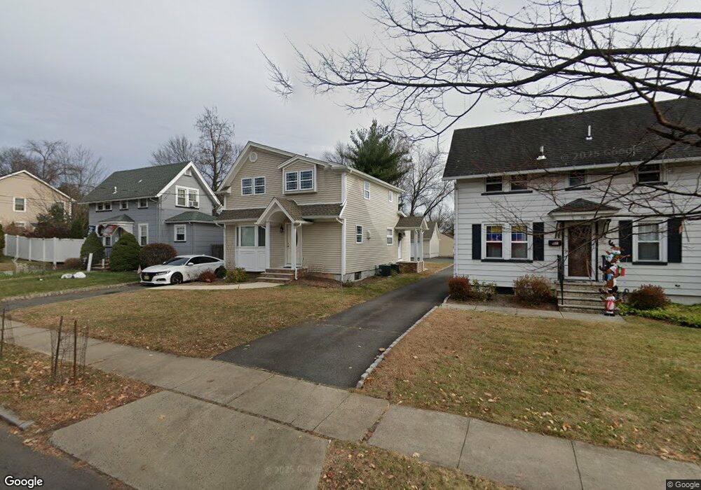
787 W Broad St Westfield, NJ 07090
Estimated Value: $514,000 - $840,000
--
Bed
--
Bath
1,682
Sq Ft
$442/Sq Ft
Est. Value
About This Home
This home is located at 787 W Broad St, Westfield, NJ 07090 and is currently estimated at $743,461, approximately $442 per square foot. 787 W Broad St is a home located in Union County with nearby schools including McKinley Elementary School, Westfield Senior High School, and Holy Trinity School.
Ownership History
Date
Name
Owned For
Owner Type
Purchase Details
Closed on
Jan 13, 2017
Sold by
Bhee Properties Llc
Bought by
Fantini Ernest
Current Estimated Value
Purchase Details
Closed on
Oct 5, 2016
Sold by
Broad 787 L L C
Bought by
Bhee Properties Llc
Purchase Details
Closed on
Aug 9, 2012
Sold by
Chironna Katherine A
Bought by
Broad 787 Llc
Purchase Details
Closed on
Feb 29, 2012
Sold by
Chironna Katherine A
Bought by
Chironna Katherine A
Purchase Details
Closed on
Jan 5, 1995
Sold by
Chironna Ida
Bought by
Chironna John F
Create a Home Valuation Report for This Property
The Home Valuation Report is an in-depth analysis detailing your home's value as well as a comparison with similar homes in the area
Home Values in the Area
Average Home Value in this Area
Purchase History
| Date | Buyer | Sale Price | Title Company |
|---|---|---|---|
| Fantini Ernest | -- | Old Republic Natl Title Ins | |
| Bhee Properties Llc | $215,000 | -- | |
| Broad 787 Llc | -- | None Available | |
| Chironna Katherine A | -- | None Available | |
| Chironna John F | -- | -- |
Source: Public Records
Tax History Compared to Growth
Tax History
| Year | Tax Paid | Tax Assessment Tax Assessment Total Assessment is a certain percentage of the fair market value that is determined by local assessors to be the total taxable value of land and additions on the property. | Land | Improvement |
|---|---|---|---|---|
| 2025 | $11,850 | $526,200 | $325,100 | $201,100 |
| 2024 | $11,608 | $526,200 | $325,100 | $201,100 |
| 2023 | $11,608 | $526,200 | $325,100 | $201,100 |
| 2022 | $10,558 | $488,800 | $325,100 | $163,700 |
| 2021 | $10,573 | $488,800 | $325,100 | $163,700 |
| 2020 | $10,548 | $488,800 | $325,100 | $163,700 |
| 2019 | $10,509 | $488,800 | $325,100 | $163,700 |
| 2018 | $9,567 | $102,900 | $42,800 | $60,100 |
| 2017 | $9,514 | $102,900 | $42,800 | $60,100 |
| 2016 | $9,291 | $102,900 | $42,800 | $60,100 |
| 2015 | $9,106 | $102,900 | $42,800 | $60,100 |
| 2014 | $8,805 | $102,900 | $42,800 | $60,100 |
Source: Public Records
Map
Nearby Homes
- 119 Lamberts Mill Rd
- 2154 W Broad St
- 314 Highgate Ave
- 1466 Lamberts Mill Rd
- 2116 Newark Ave
- 524 Edgar Rd
- 525 Edgar Rd
- 2 Brookside Ct
- 1933 W Broad St
- 614 Dorian Rd
- 1933 Mary Ellen Ln
- 724 South Ave W Unit 724A
- 350 W Dudley Ave
- 2212 Shady Ln
- 2314 Longfellow Ave
- 538 Westfield Ave
- 2219 North Ave Unit 6
- 2 Dutch Ln
- 522 Boulevard
- 57 Rambling Dr
- 787 W Broad St Unit 2
- 783 W Broad St
- 791 W Broad St
- 793 W Broad St
- 108 Florence Ave
- 100 Florence Ave
- 110 Florence Ave
- 121 Lamberts Mill Rd
- 120 Florence Ave
- 125 Lamberts Mill Rd
- 790 W Broad St
- 786 W Broad St
- 798 W Broad St
- 794 W Broad St
- 794 W Broad St Unit 2
- 124 Florence Ave
- 101 Florence Ave
- 782 W Broad St
- 2160 W Broad St
- 2215 W Broad St