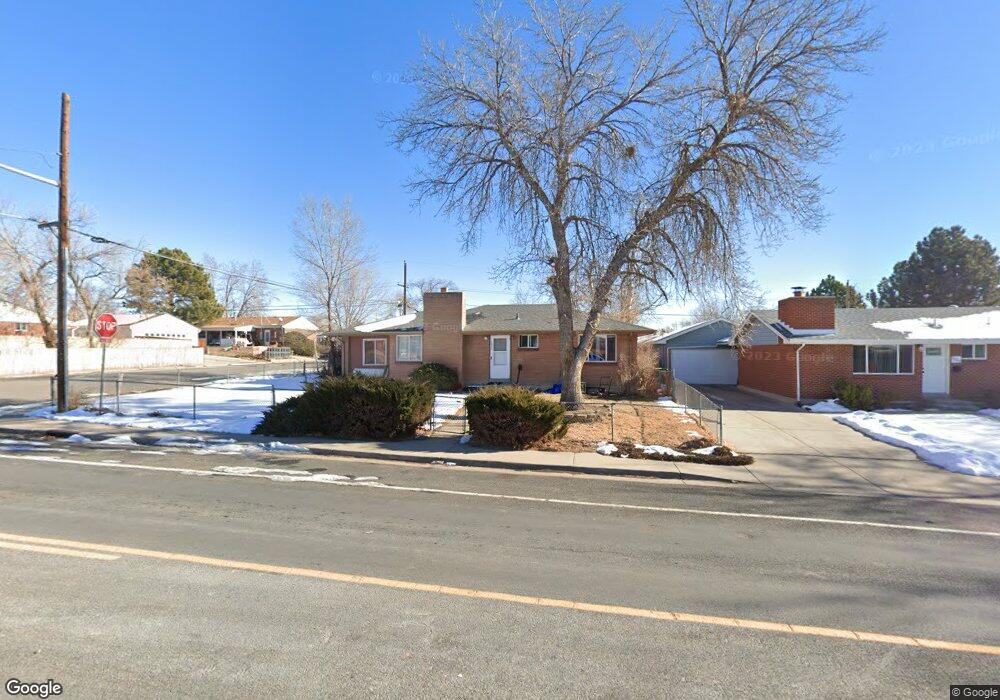
7872 Zuni St Denver, CO 80221
Sherrelwood NeighborhoodEstimated Value: $439,000 - $476,000
6
Beds
2
Baths
2,460
Sq Ft
$185/Sq Ft
Est. Value
About This Home
This home is located at 7872 Zuni St, Denver, CO 80221 and is currently estimated at $456,181, approximately $185 per square foot. 7872 Zuni St is a home located in Adams County with nearby schools including Metropolitan Arts Academy, Iver C. Ranum Middle School, and Westminster High School.
Ownership History
Date
Name
Owned For
Owner Type
Purchase Details
Closed on
May 21, 2010
Sold by
Northwest United Federal Credit Union
Bought by
Thienhuong Lllp
Current Estimated Value
Purchase Details
Closed on
Jan 28, 2010
Sold by
Boyle Patrick Allan and Boyle Cynthia Sue
Bought by
Northwest United Federal Credit Union
Create a Home Valuation Report for This Property
The Home Valuation Report is an in-depth analysis detailing your home's value as well as a comparison with similar homes in the area
Home Values in the Area
Average Home Value in this Area
Purchase History
| Date | Buyer | Sale Price | Title Company |
|---|---|---|---|
| Thienhuong Lllp | $140,000 | Stewart Title | |
| Northwest United Federal Credit Union | -- | None Available |
Source: Public Records
Tax History Compared to Growth
Tax History
| Year | Tax Paid | Tax Assessment Tax Assessment Total Assessment is a certain percentage of the fair market value that is determined by local assessors to be the total taxable value of land and additions on the property. | Land | Improvement |
|---|---|---|---|---|
| 2024 | $3,368 | $28,630 | $5,380 | $23,250 |
| 2023 | $3,349 | $32,740 | $5,480 | $27,260 |
| 2022 | $3,045 | $24,860 | $5,630 | $19,230 |
| 2021 | $3,105 | $24,860 | $5,630 | $19,230 |
| 2020 | $2,849 | $23,190 | $5,790 | $17,400 |
| 2019 | $2,839 | $23,190 | $5,790 | $17,400 |
| 2018 | $2,277 | $18,390 | $5,900 | $12,490 |
| 2017 | $1,997 | $18,390 | $5,900 | $12,490 |
| 2016 | $1,787 | $15,540 | $2,790 | $12,750 |
| 2015 | $1,784 | $15,540 | $2,790 | $12,750 |
| 2014 | -- | $13,900 | $2,390 | $11,510 |
Source: Public Records
Map
Nearby Homes
- 7952 Zuni St
- 7898 Applewood Ln
- 2420 W 80th Ave
- 2580 Valley View Dr
- 7819 Tejon St
- 7820 Tejon St
- 7918 Tejon St
- 2612 Meadowbrook Dr
- 7644 Wyandot St
- 8028 Bryant St
- 8034 Decatur St
- 7875 Cyd Dr
- 7610 Tejon St
- 2420 W 82nd Place Unit F
- 8065 Clay St
- 7798 Quivas St
- 2785 Skyline Dr
- 7625 Turner Dr
- 2430 W 82nd Place Unit 2F
- 2428 W 82nd Place Unit 2G