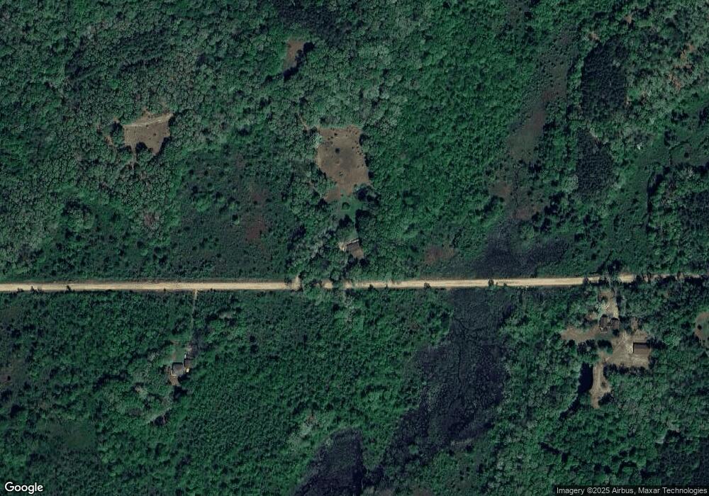
7875 Huff Rd Bellevue, MI 49021
Estimated Value: $261,000 - $282,000
3
Beds
2
Baths
2,056
Sq Ft
$131/Sq Ft
Est. Value
About This Home
This home is located at 7875 Huff Rd, Bellevue, MI 49021 and is currently estimated at $269,932, approximately $131 per square foot. 7875 Huff Rd is a home located in Barry County with nearby schools including Bellevue Elementary School and Bellevue Junior/Senior High School.
Ownership History
Date
Name
Owned For
Owner Type
Purchase Details
Closed on
Jun 13, 2005
Sold by
Prudential Residential Services Lp
Bought by
Ashley George L and Ashley Judith A
Current Estimated Value
Home Financials for this Owner
Home Financials are based on the most recent Mortgage that was taken out on this home.
Original Mortgage
$137,860
Interest Rate
5.82%
Mortgage Type
FHA
Purchase Details
Closed on
Mar 21, 2005
Sold by
Sutherland Angela J and Sutherland Chad D
Bought by
Prudential Residential Services Lp and Prudential Homes Corp
Create a Home Valuation Report for This Property
The Home Valuation Report is an in-depth analysis detailing your home's value as well as a comparison with similar homes in the area
Purchase History
| Date | Buyer | Sale Price | Title Company |
|---|---|---|---|
| Ashley George L | $138,950 | -- | |
| Prudential Residential Services Lp | $138,950 | -- |
Source: Public Records
Mortgage History
| Date | Status | Borrower | Loan Amount |
|---|---|---|---|
| Previous Owner | Ashley George L | $137,860 |
Source: Public Records
Tax History
| Year | Tax Paid | Tax Assessment Tax Assessment Total Assessment is a certain percentage of the fair market value that is determined by local assessors to be the total taxable value of land and additions on the property. | Land | Improvement |
|---|---|---|---|---|
| 2025 | $1,877 | $114,500 | $0 | $0 |
| 2024 | $1,877 | $105,200 | $0 | $0 |
| 2023 | $1,684 | $83,340 | $0 | $0 |
| 2022 | $1,684 | $83,340 | $0 | $0 |
| 2020 | $1,684 | $69,900 | $0 | $0 |
| 2019 | $1,684 | $64,000 | $0 | $0 |
| 2018 | $1,633 | $62,600 | $0 | $0 |
| 2017 | $0 | $58,900 | $0 | $0 |
| 2016 | -- | $58,100 | $0 | $0 |
| 2015 | -- | $57,100 | $0 | $0 |
| 2014 | -- | $57,100 | $0 | $0 |
Source: Public Records
Map
Nearby Homes
- 7272 Huff Rd
- 23160 M 78
- 22975 Pine Lake Rd
- 9567 Huntington Rd
- 0 S Lacey Lake Rd Unit 293299
- 00 Burrows T Dr N
- 0 Lynch Rd Unit 25041472
- 11303 W Dr N
- V/L North Ave
- 21520 Swafford Rd
- 22485 Clear Lake Rd N
- 6670 Keyes Rd
- 5755 Crandall Rd
- VL Mud Lake Rd
- V/L East Ave N
- 860 Sylvan Dr
- 855 Sylvan Dr
- 4233 Mud Lake Rd
- 21067 North Ave
- 10195 Cox Rd
