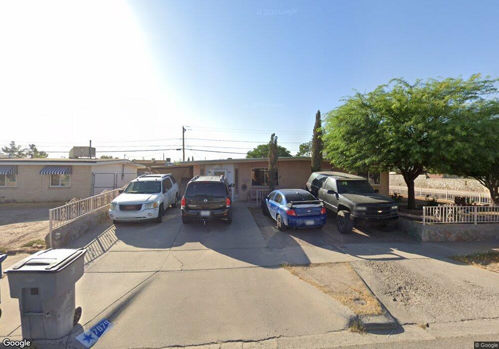
7879 Broadway Dr El Paso, TX 79915
Thomas Manor NeighborhoodEstimated Value: $203,000 - $233,000
3
Beds
2
Baths
2,416
Sq Ft
$91/Sq Ft
Est. Value
About This Home
This home is located at 7879 Broadway Dr, El Paso, TX 79915 and is currently estimated at $219,982, approximately $91 per square foot. 7879 Broadway Dr is a home located in El Paso County with nearby schools including Thomas Manor, Riverside Middle School, and Riverside High School.
Ownership History
Date
Name
Owned For
Owner Type
Purchase Details
Closed on
Feb 23, 1998
Sold by
Almadova Mary P
Bought by
Zapata Jose and Castro Rosa E
Current Estimated Value
Home Financials for this Owner
Home Financials are based on the most recent Mortgage that was taken out on this home.
Original Mortgage
$55,215
Outstanding Balance
$9,809
Interest Rate
7.04%
Mortgage Type
FHA
Estimated Equity
$210,173
Purchase Details
Closed on
Apr 7, 1995
Sold by
Almadova Michael
Bought by
Almadova Mary P
Create a Home Valuation Report for This Property
The Home Valuation Report is an in-depth analysis detailing your home's value as well as a comparison with similar homes in the area
Home Values in the Area
Average Home Value in this Area
Purchase History
| Date | Buyer | Sale Price | Title Company |
|---|---|---|---|
| Zapata Jose | -- | -- | |
| Almadova Mary P | -- | -- |
Source: Public Records
Mortgage History
| Date | Status | Borrower | Loan Amount |
|---|---|---|---|
| Open | Zapata Jose | $55,215 |
Source: Public Records
Tax History Compared to Growth
Tax History
| Year | Tax Paid | Tax Assessment Tax Assessment Total Assessment is a certain percentage of the fair market value that is determined by local assessors to be the total taxable value of land and additions on the property. | Land | Improvement |
|---|---|---|---|---|
| 2025 | $2,400 | $209,006 | -- | -- |
| 2024 | $2,400 | $190,005 | -- | -- |
| 2023 | $2,299 | $172,732 | $0 | $0 |
| 2022 | $4,876 | $157,029 | $0 | $0 |
| 2021 | $4,640 | $155,900 | $13,598 | $142,302 |
| 2020 | $4,099 | $129,776 | $13,598 | $116,178 |
| 2018 | $4,012 | $129,020 | $13,598 | $115,422 |
| 2017 | $3,886 | $127,119 | $13,598 | $113,521 |
| 2016 | $3,886 | $127,119 | $13,598 | $113,521 |
| 2015 | $2,644 | $127,119 | $13,598 | $113,521 |
| 2014 | $2,644 | $129,583 | $13,598 | $115,985 |
Source: Public Records
Map
Nearby Homes
- 7874 Broadway Dr
- 7925 Broadway Dr
- 7920 Porche St
- 7860 Porche St
- 7952 Broadway Dr
- 7807 Porche St
- 8041 Broadway Dr
- 222 Kelvin Ave
- 310 Kelvin Ave
- 223 Kelvin Ave
- 205 Kelvin Ave
- 7907 Alameda Ave
- 7798 Rosedale St
- 7840 Mansfield Ave
- 578 Cora Place
- 104 Chip Way
- 8141 Lowd Ave
- 7632 Franklin Dr Unit 1-2
- 443 Cadwallader Dr
- 405 Lafayette Dr
- 7875 Broadway Dr
- 7880 Porche St
- 7876 Porche St
- 7901 Broadway Dr
- 7871 Broadway Dr
- 7900 Porche St
- 7872 Porche St
- 7870 Broadway Dr
- 7867 Broadway Dr
- 7905 Broadway Dr
- 7900 Broadway Dr
- 7866 Broadway Dr
- 7868 Porche St
- 7904 Porche St
- 7863 Broadway Dr
- 7904 Broadway Dr
- 7862 Broadway Dr
- 7909 Broadway Dr
- 6113 Pecan Ct
- 6101 Pecan Ct Unit n/a