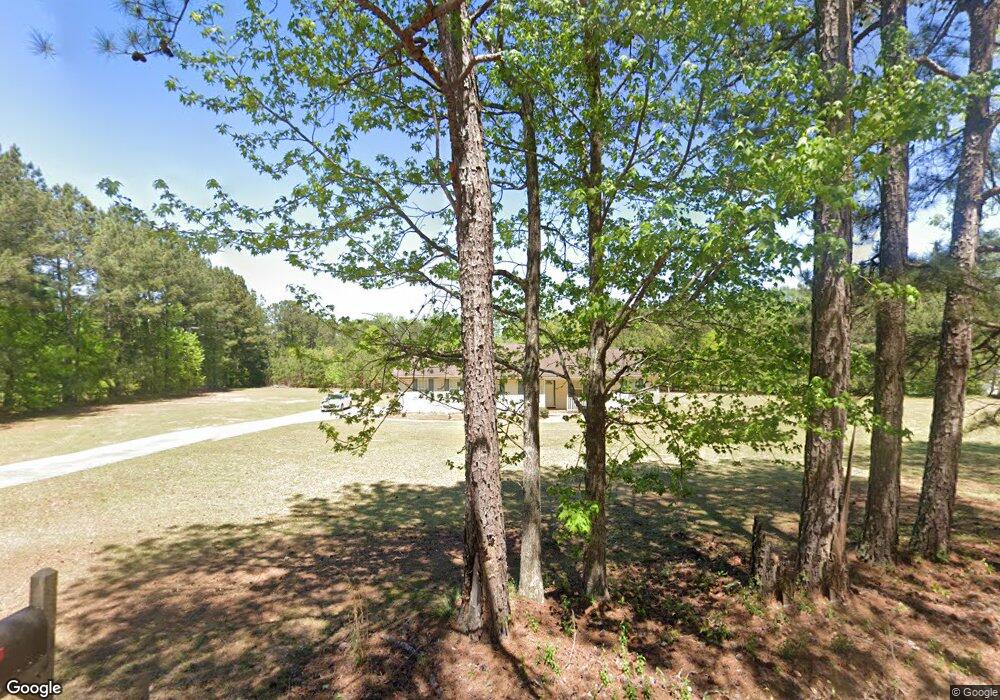
788 Cannafax Rd Barnesville, GA 30204
Estimated Value: $276,190 - $307,000
3
Beds
2
Baths
1,447
Sq Ft
$201/Sq Ft
Est. Value
About This Home
This home is located at 788 Cannafax Rd, Barnesville, GA 30204 and is currently estimated at $291,397, approximately $201 per square foot. 788 Cannafax Rd is a home located in Lamar County with nearby schools including Lamar County Primary School, Lamar County Elementary School, and Lamar County Middle School.
Ownership History
Date
Name
Owned For
Owner Type
Purchase Details
Closed on
Jul 1, 2008
Sold by
Zellner Marcus Durand
Bought by
Zellner Patricia Ann
Current Estimated Value
Purchase Details
Closed on
Jul 28, 2006
Sold by
Zellner Marcus Durand
Bought by
Zellner Patricia Ann
Purchase Details
Closed on
Nov 6, 2001
Sold by
Ard Ronald E
Bought by
Zellner Marcus and Zellner Patricia
Purchase Details
Closed on
Jan 31, 2001
Sold by
Regional Properties
Bought by
Ard Ronald E
Create a Home Valuation Report for This Property
The Home Valuation Report is an in-depth analysis detailing your home's value as well as a comparison with similar homes in the area
Purchase History
| Date | Buyer | Sale Price | Title Company |
|---|---|---|---|
| Zellner Patricia Ann | -- | -- | |
| Zellner Patricia Ann | -- | -- | |
| Zellner Marcus | $105,100 | -- | |
| Ard Ronald E | $38,000 | -- |
Source: Public Records
Tax History
| Year | Tax Paid | Tax Assessment Tax Assessment Total Assessment is a certain percentage of the fair market value that is determined by local assessors to be the total taxable value of land and additions on the property. | Land | Improvement |
|---|---|---|---|---|
| 2025 | $2,345 | $105,351 | $18,497 | $86,854 |
| 2024 | $2,229 | $88,984 | $18,497 | $70,487 |
| 2023 | $2,286 | $84,686 | $18,497 | $66,189 |
| 2022 | $1,873 | $69,732 | $9,888 | $59,844 |
| 2021 | $1,318 | $45,722 | $9,888 | $35,834 |
| 2020 | $1,387 | $45,722 | $9,888 | $35,834 |
| 2019 | $1,390 | $45,722 | $9,888 | $35,834 |
| 2018 | $1,335 | $45,722 | $9,888 | $35,834 |
| 2017 | $1,328 | $45,722 | $9,888 | $35,834 |
| 2016 | $1,329 | $45,722 | $9,888 | $35,834 |
| 2015 | $1,320 | $45,597 | $9,763 | $35,834 |
| 2014 | $1,279 | $45,597 | $9,763 | $35,834 |
| 2013 | -- | $45,721 | $9,887 | $35,834 |
Source: Public Records
Map
Nearby Homes
- 818 Cannafax Rd
- 146 Berry Rd Unit LOT 12B
- 148 Berry Rd Unit LOT 12A
- 144 Berry Rd Unit LOT 13
- 150 Berry Rd
- 255 Needleleaf Dr
- 916 Highway 36 W
- 0 Perkins Rd Unit 253616
- 0 Perkins Rd Unit 10625263
- 0 Perkins Rd Unit 7692755
- 0 Perkins Rd Unit 10663247
- 746 Highway 18 W
- 410 Country Kitchen Rd
- 0 Veterns Pkwy Unit 10515268
- Parcel 2 Yatesville Rd
- 0 Highway 341 S Unit 181569
- 0 Highway 341 S Unit 10610486
- 475 Piedmont Rd
- 270 Cannafax Rd
- 109 Barnesville Ave
- 796 Cannafax Rd
- 791 Cannafax Rd
- 795 Cannafax Rd
- 106 Needleleaf Dr Unit 1
- 106 Needleleaf Dr Unit Lot 47
- 808 Cannafax Rd
- 763 Cannafax Rd
- 118 Needleleaf Dr Unit 2
- 118 Needleleaf Dr Unit Lot45
- 118 Carol Ln
- 807 Cannafax Rd
- 124 Carol Ln
- 824 Cannafax Rd
- 130 Needleleaf Dr Unit 3
- 793 Cannafax Rd
- 130 Carol Ln
- 117 Carol Ln
- 745 Cannafax Rd
- 819 Cannafax Rd
- 744 Cannafax Rd
Your Personal Tour Guide
Ask me questions while you tour the home.