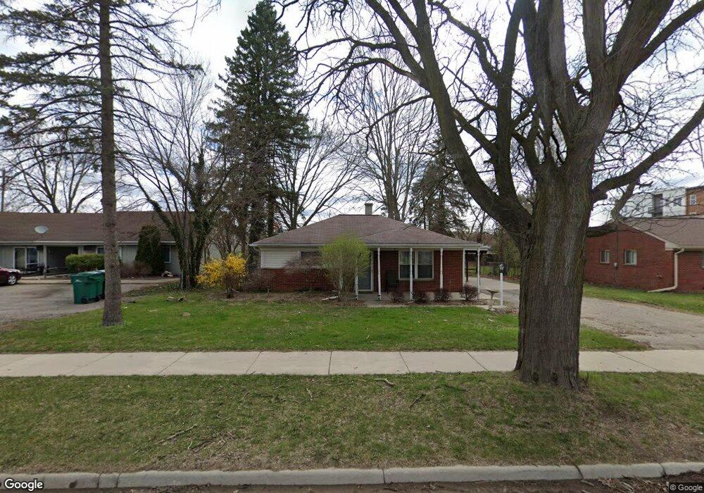
788 N 2nd St Brighton, MI 48116
Estimated Value: $272,000 - $328,000
2
Beds
1
Bath
1,028
Sq Ft
$283/Sq Ft
Est. Value
About This Home
This home is located at 788 N 2nd St, Brighton, MI 48116 and is currently estimated at $290,893, approximately $282 per square foot. 788 N 2nd St is a home located in Livingston County with nearby schools including Hornung Elementary School, Scranton Middle School, and Brighton High School.
Ownership History
Date
Name
Owned For
Owner Type
Purchase Details
Closed on
Oct 31, 2013
Sold by
King Lyda
Bought by
Bmh Realty Llc
Current Estimated Value
Purchase Details
Closed on
Oct 9, 2013
Sold by
King Lyda and Morris Maggie
Bought by
King Lyda
Purchase Details
Closed on
Dec 1, 2009
Sold by
King Lyda
Bought by
King David and King Lyda
Purchase Details
Closed on
Apr 19, 2003
Sold by
Geisler Larraine V
Bought by
King David C and King Lyda B
Purchase Details
Closed on
Jun 2, 1994
Sold by
Geisler Lorraine V
Bought by
King Lyda B and King David
Create a Home Valuation Report for This Property
The Home Valuation Report is an in-depth analysis detailing your home's value as well as a comparison with similar homes in the area
Home Values in the Area
Average Home Value in this Area
Purchase History
| Date | Buyer | Sale Price | Title Company |
|---|---|---|---|
| Bmh Realty Llc | $100,000 | -- | |
| King Lyda | -- | -- | |
| King David | -- | -- | |
| King David C | $84,900 | H&H Title Inc | |
| King Lyda B | -- | -- |
Source: Public Records
Tax History Compared to Growth
Tax History
| Year | Tax Paid | Tax Assessment Tax Assessment Total Assessment is a certain percentage of the fair market value that is determined by local assessors to be the total taxable value of land and additions on the property. | Land | Improvement |
|---|---|---|---|---|
| 2025 | $4,025 | $123,900 | $0 | $0 |
| 2024 | $3,396 | $104,900 | $0 | $0 |
| 2023 | $3,292 | $100,800 | $0 | $0 |
| 2022 | $3,604 | $84,600 | $0 | $0 |
| 2021 | $3,604 | $86,500 | $0 | $0 |
| 2020 | $3,575 | $88,100 | $0 | $0 |
| 2019 | $3,532 | $84,600 | $0 | $0 |
| 2018 | $3,258 | $80,700 | $0 | $0 |
| 2017 | $3,156 | $76,300 | $0 | $0 |
| 2016 | $3,131 | $70,200 | $0 | $0 |
| 2014 | $2,185 | $53,650 | $0 | $0 |
| 2012 | $2,185 | $54,450 | $0 | $0 |
Source: Public Records
Map
Nearby Homes
- 8737 Green Willow St
- 8741 Green Willow St Unit 11
- 8723 Meadowbrook Dr
- 8719 Meadowbrook Dr Unit 5
- 302 N 2nd St Unit 5
- 292 N 1st St
- 507 Anne Ave
- 584 Anne Ave
- 504 Anne Ave
- 119 Pondview Ct Unit 9
- 4821 Pinehurst Ct
- 566 Foxboro Square
- 120 S 5th St
- 4259 Deeside Dr
- 116 E North St
- 122 E North St
- 315 S 1st St
- 4505 Spring Mountain Dr
- 212 S East St
- 624 E Main St