788 N Poland Rd Conway, MA 01341
Estimated Value: $359,939 - $516,000
2
Beds
1
Bath
1,462
Sq Ft
$301/Sq Ft
Est. Value
About This Home
This home is located at 788 N Poland Rd, Conway, MA 01341 and is currently estimated at $440,313, approximately $301 per square foot. 788 N Poland Rd is a home located in Franklin County with nearby schools including Frontier Regional School.
Ownership History
Date
Name
Owned For
Owner Type
Purchase Details
Closed on
Jul 29, 2010
Sold by
Fuller Marie E
Bought by
Frankhouser Joshua S and Fuller Susan M
Current Estimated Value
Create a Home Valuation Report for This Property
The Home Valuation Report is an in-depth analysis detailing your home's value as well as a comparison with similar homes in the area
Home Values in the Area
Average Home Value in this Area
Purchase History
| Date | Buyer | Sale Price | Title Company |
|---|---|---|---|
| Frankhouser Joshua S | -- | -- |
Source: Public Records
Tax History
| Year | Tax Paid | Tax Assessment Tax Assessment Total Assessment is a certain percentage of the fair market value that is determined by local assessors to be the total taxable value of land and additions on the property. | Land | Improvement |
|---|---|---|---|---|
| 2025 | $4,104 | $284,200 | $75,100 | $209,100 |
| 2024 | $3,765 | $229,600 | $68,200 | $161,400 |
| 2023 | $3,938 | $229,600 | $68,200 | $161,400 |
| 2022 | $3,820 | $212,800 | $63,300 | $149,500 |
| 2021 | $3,765 | $201,000 | $60,400 | $140,600 |
| 2020 | $3,799 | $202,500 | $59,900 | $142,600 |
| 2019 | $3,777 | $202,500 | $59,900 | $142,600 |
| 2018 | $3,522 | $190,400 | $59,900 | $130,500 |
| 2017 | $3,380 | $190,400 | $59,900 | $130,500 |
| 2016 | $3,039 | $182,200 | $52,400 | $129,800 |
| 2015 | $2,946 | $182,200 | $52,400 | $129,800 |
Source: Public Records
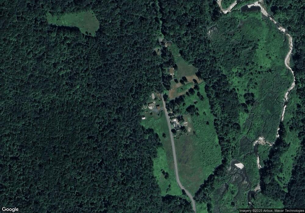
Map
Nearby Homes
- 527 Main St
- 240 Beldingville Rd
- 0 Sears Rd Unit 73373850
- 0 N Bear River Rd Unit 73485981
- 40 Suburban Dr
- 220 Hawley Rd
- 146 Berkshire Trail W
- 71 Mathews Rd
- 0 Spruce Corner Rd Unit 73244975
- 11 S Chesterfield Rd
- 86 Ashfield Rd
- 0 John Ford Rd Unit 73403156
- 15 Stillwater Rd
- 333 Ranney Corner Rd
- 0 Fuller Rd
- 311 Cummington Rd
- 3 Adams Ct Unit A
- 12 Pine Rd
- 90 Whately Rd
- 41 Upper Rd
- 801 N Poland Rd
- 765 N Poland Rd
- 735 N Poland Rd
- 641 N Poland Rd
- 1504 Main Poland Rd
- 1490 Main Poland Rd
- 1497 Main Poland Rd
- 536 N Poland Rd
- 1230 Main Poland Rd
- 1602 Main Poland Rd
- 517 N Poland Rd
- 000 Main Poland Rd
- 0 Main Poland Rd
- 0 Off Main Poland Rd Unit 30100297
- 0 N Poland Rd
- 1600 Main Poland Rd
- 457 N Poland Rd
- 468 N Poland Rd
- 773 Williamsburg Rd
- 1506 Main Poland Rd
Your Personal Tour Guide
Ask me questions while you tour the home.