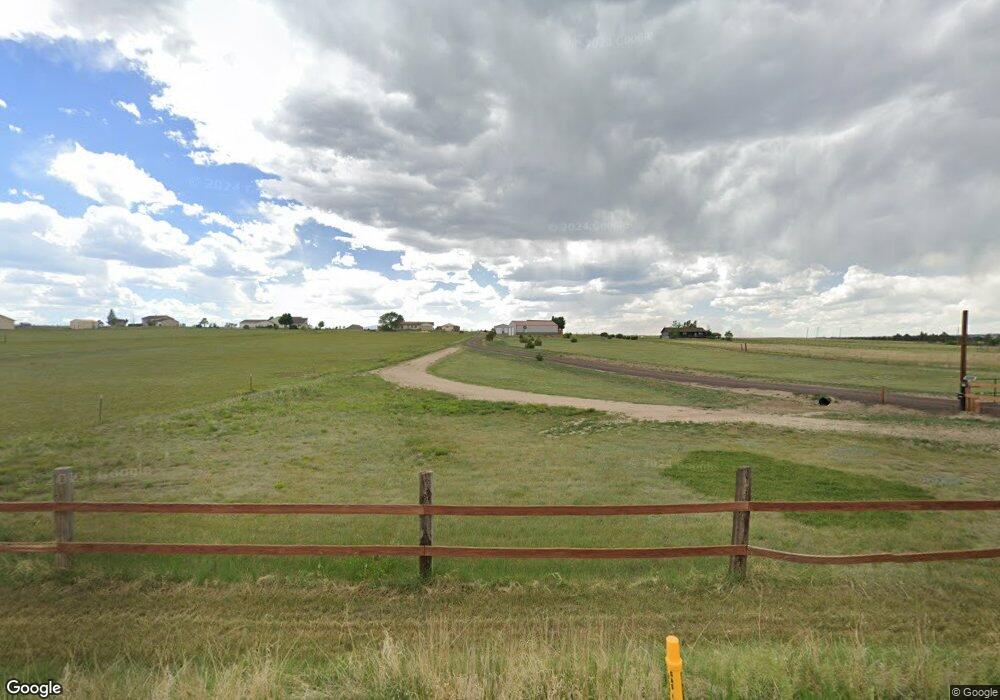
7880 Curtis Rd Peyton, CO 80831
Falcon NeighborhoodEstimated Value: $637,634 - $881,000
1
Bed
2
Baths
2,666
Sq Ft
$293/Sq Ft
Est. Value
About This Home
This home is located at 7880 Curtis Rd, Peyton, CO 80831 and is currently estimated at $781,878, approximately $293 per square foot. 7880 Curtis Rd is a home located in El Paso County with nearby schools including Falcon Elementary School Of Technology, Falcon Middle School, and Falcon High School.
Ownership History
Date
Name
Owned For
Owner Type
Purchase Details
Closed on
Jun 21, 1989
Bought by
Lanotte Daniel C and Lanotte Rocal R
Current Estimated Value
Purchase Details
Closed on
May 4, 1988
Bought by
Lanotte Daniel C and Lanotte Rocal R
Purchase Details
Closed on
Feb 22, 1988
Bought by
Lanotte Daniel C and Lanotte Rocal R
Purchase Details
Closed on
Jun 9, 1986
Bought by
Lanotte Daniel C and Lanotte Rocal R
Purchase Details
Closed on
Jan 13, 1981
Bought by
Lanotte Daniel C and Lanotte Rocal R
Create a Home Valuation Report for This Property
The Home Valuation Report is an in-depth analysis detailing your home's value as well as a comparison with similar homes in the area
Home Values in the Area
Average Home Value in this Area
Purchase History
| Date | Buyer | Sale Price | Title Company |
|---|---|---|---|
| Lanotte Daniel C | -- | -- | |
| Lanotte Daniel C | -- | -- | |
| Lanotte Daniel C | -- | -- | |
| Lanotte Daniel C | -- | -- | |
| Lanotte Daniel C | -- | -- |
Source: Public Records
Tax History Compared to Growth
Tax History
| Year | Tax Paid | Tax Assessment Tax Assessment Total Assessment is a certain percentage of the fair market value that is determined by local assessors to be the total taxable value of land and additions on the property. | Land | Improvement |
|---|---|---|---|---|
| 2025 | $3,300 | $51,980 | -- | -- |
| 2024 | $2,707 | $50,030 | $8,180 | $41,850 |
| 2023 | $2,707 | $50,030 | $8,180 | $41,850 |
| 2022 | $1,397 | $27,070 | $6,720 | $20,350 |
| 2021 | $1,454 | $27,860 | $6,920 | $20,940 |
| 2020 | $1,186 | $23,970 | $5,400 | $18,570 |
| 2019 | $1,175 | $23,970 | $5,400 | $18,570 |
| 2018 | $853 | $19,200 | $4,900 | $14,300 |
| 2017 | $781 | $19,200 | $4,900 | $14,300 |
| 2016 | $646 | $17,760 | $5,180 | $12,580 |
| 2015 | $647 | $17,760 | $5,180 | $12,580 |
| 2014 | $581 | $16,590 | $4,780 | $11,810 |
Source: Public Records
Map
Nearby Homes
- 7854 Truchas Trail
- 8071 Estacado Place
- 7776 Truchas Trail
- 14470 Seminole Ln
- 7698 Truchas Trail
- 7621 Truchas Trail
- Summit Plan at Saddlehorn Ranch
- Dolores Peak Plan at Saddlehorn Ranch
- Durango Plan at Saddlehorn Ranch
- Haven Plan at Saddlehorn Ranch
- Monarch Plan at Saddlehorn Ranch
- 7464 Truchas Trail
- 15381 Oscuro Trail
- 14891 Oscuro Trail
- 15150 Del Cerro Trail
- 14961 Oscuro Trail
- 15101 Oscuro Trail
- 8815 Jae Lynn Dr
- 6525 Connie Lee Ct
- 6545 Connie Lee Ct
- 7920 Curtis Rd
- 7950 Curtis Rd
- 7830 Curtis Rd
- 7750 Curtis Rd
- 7990 Curtis Rd
- 7710 Curtis Rd
- 7710 Curtis Rd
- 8030 Curtis Rd
- 8030 Curtis Rd
- 14515 Seminole Ln
- 7670 Curtis Rd
- 8070 Curtis Rd
- 14475 Seminole Ln
- 7620 Curtis Rd
- 8025 Aerostar Dr
- 8110 Curtis Rd
- 7580 Curtis Rd
- 7580 Curtis Rd
- 8150 Curtis Rd
- 14510 Seminole Ln
