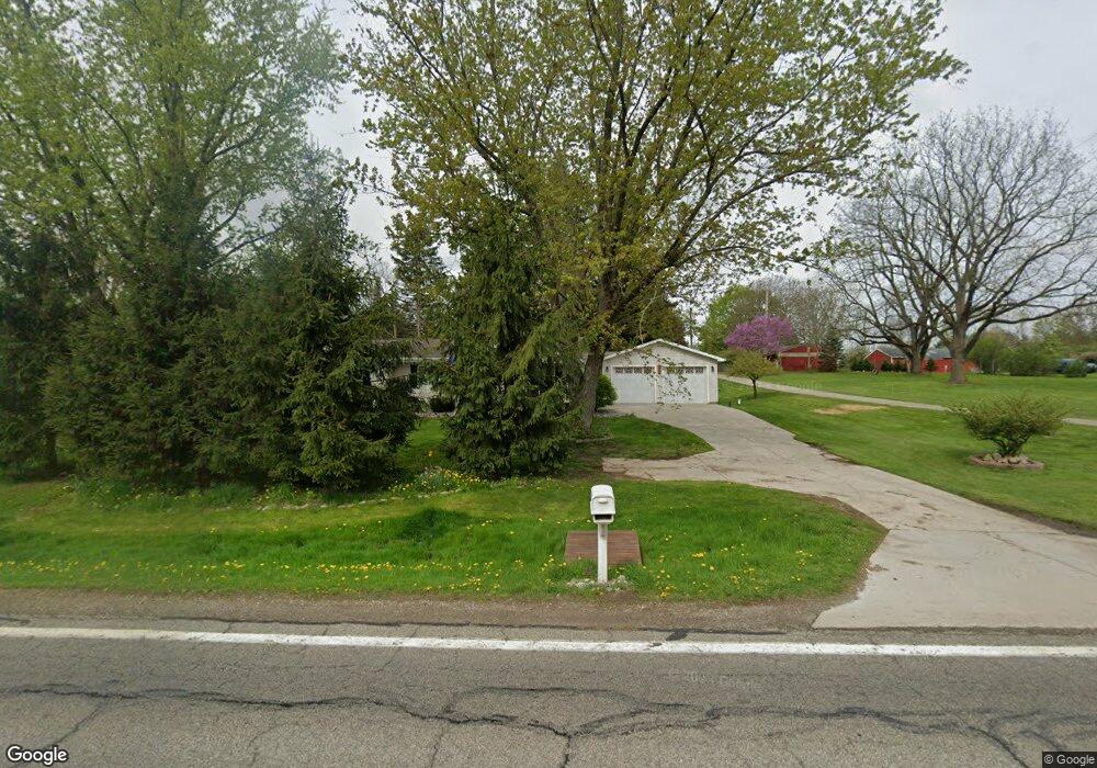
7881 Hartel Rd Grand Ledge, MI 48837
Estimated Value: $245,000 - $306,000
3
Beds
3
Baths
1,616
Sq Ft
$172/Sq Ft
Est. Value
About This Home
This home is located at 7881 Hartel Rd, Grand Ledge, MI 48837 and is currently estimated at $278,510, approximately $172 per square foot. 7881 Hartel Rd is a home located in Eaton County with nearby schools including Beagle Middle School, Leon W. Hayes Middle School, and Grand Ledge High School.
Ownership History
Date
Name
Owned For
Owner Type
Purchase Details
Closed on
Jan 22, 2009
Sold by
Lonier Christina A and Lonier Todd
Bought by
Deutsche Bank National Trust Company
Current Estimated Value
Purchase Details
Closed on
Dec 14, 2005
Sold by
Patricia L Blevins Trust and Dake Michelle R
Bought by
Lonier Todd and Lonier Christin
Home Financials for this Owner
Home Financials are based on the most recent Mortgage that was taken out on this home.
Original Mortgage
$108,000
Interest Rate
6.46%
Mortgage Type
Fannie Mae Freddie Mac
Purchase Details
Closed on
Sep 18, 2002
Sold by
Blevins Patricia L
Bought by
Blevins Patricia L
Create a Home Valuation Report for This Property
The Home Valuation Report is an in-depth analysis detailing your home's value as well as a comparison with similar homes in the area
Home Values in the Area
Average Home Value in this Area
Purchase History
| Date | Buyer | Sale Price | Title Company |
|---|---|---|---|
| Deutsche Bank National Trust Company | $141,000 | None Available | |
| Lonier Todd | $135,000 | Title First Agency | |
| Blevins Patricia L | -- | -- |
Source: Public Records
Mortgage History
| Date | Status | Borrower | Loan Amount |
|---|---|---|---|
| Previous Owner | Lonier Todd | $108,000 | |
| Previous Owner | Lonier Todd | $27,000 |
Source: Public Records
Tax History Compared to Growth
Tax History
| Year | Tax Paid | Tax Assessment Tax Assessment Total Assessment is a certain percentage of the fair market value that is determined by local assessors to be the total taxable value of land and additions on the property. | Land | Improvement |
|---|---|---|---|---|
| 2025 | $2,814 | $118,000 | $0 | $0 |
| 2024 | $931 | $113,800 | $0 | $0 |
| 2023 | $887 | $103,600 | $0 | $0 |
| 2022 | $2,524 | $91,500 | $0 | $0 |
| 2021 | $2,433 | $87,500 | $0 | $0 |
| 2020 | $2,483 | $83,000 | $0 | $0 |
| 2019 | $2,248 | $81,800 | $0 | $0 |
| 2018 | $2,198 | $76,229 | $0 | $0 |
| 2017 | $2,157 | $76,954 | $0 | $0 |
| 2016 | -- | $72,466 | $0 | $0 |
| 2015 | -- | $68,865 | $0 | $0 |
| 2014 | -- | $65,030 | $0 | $0 |
| 2013 | -- | $70,038 | $0 | $0 |
Source: Public Records
Map
Nearby Homes
- 4815 Doane Hwy
- 8387 Hartel Rd
- 6971 Hartel Rd
- 6717 N Royston Rd
- 5044 E Mount Hope Hwy
- 2811 Doane Hwy
- 6284 Windsor Hwy
- 0 E Gresham Hwy
- 2972 E Mount Hope Hwy
- 11065 N Hartel Rd
- 0 Rolling Hills Dr
- Lot 51 of Cambria Ct
- Lot 50 Cambria Ct
- Lot 51 Cambria Ct
- 4636 Sunset Dr
- Vl Strobel Rd
- 9285 Guinea Rd
- 4493 Sunset Dr
- Elements 2070 Plan at Cambria Ridge
- Integrity 1605 Plan at Cambria Ridge