7881 Laberdee Rd Britton, MI 49229
Estimated Value: $245,000 - $266,000
3
Beds
1
Bath
1,280
Sq Ft
$200/Sq Ft
Est. Value
About This Home
This home is located at 7881 Laberdee Rd, Britton, MI 49229 and is currently estimated at $255,501, approximately $199 per square foot. 7881 Laberdee Rd is a home located in Lenawee County with nearby schools including Blissfield Elementary School, Blissfield Middle School, and Blissfield High School.
Ownership History
Date
Name
Owned For
Owner Type
Purchase Details
Closed on
Jan 11, 2018
Sold by
Sharrock Nathan
Bought by
Sharrock Nathan and Sharrock Michelle
Current Estimated Value
Purchase Details
Closed on
Dec 14, 2007
Sold by
Gubbe Kenneth Lynn and Bluntschly Lou Ann
Bought by
Sharrock Nathan
Home Financials for this Owner
Home Financials are based on the most recent Mortgage that was taken out on this home.
Original Mortgage
$109,137
Outstanding Balance
$69,115
Interest Rate
6.31%
Mortgage Type
FHA
Estimated Equity
$186,386
Create a Home Valuation Report for This Property
The Home Valuation Report is an in-depth analysis detailing your home's value as well as a comparison with similar homes in the area
Purchase History
| Date | Buyer | Sale Price | Title Company |
|---|---|---|---|
| Sharrock Nathan | -- | None Available | |
| Sharrock Nathan | $110,000 | None Available |
Source: Public Records
Mortgage History
| Date | Status | Borrower | Loan Amount |
|---|---|---|---|
| Open | Sharrock Nathan | $109,137 |
Source: Public Records
Tax History
| Year | Tax Paid | Tax Assessment Tax Assessment Total Assessment is a certain percentage of the fair market value that is determined by local assessors to be the total taxable value of land and additions on the property. | Land | Improvement |
|---|---|---|---|---|
| 2025 | $2,465 | $120,500 | $0 | $0 |
| 2024 | $2,257 | $120,600 | $0 | $0 |
| 2021 | $1,772 | $86,500 | $0 | $0 |
| 2020 | $1,756 | $79,200 | $0 | $0 |
| 2019 | $147,832 | $82,400 | $0 | $0 |
| 2018 | $1,567 | $73,353 | $0 | $0 |
| 2017 | $1,259 | $58,479 | $0 | $0 |
| 2016 | $1,238 | $57,315 | $0 | $0 |
| 2014 | -- | $48,970 | $0 | $0 |
Source: Public Records
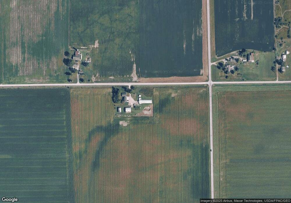
Map
Nearby Homes
- 1102 Wellsville Hwy
- 6584 Holloway Rd
- 3125 N Rogers Hwy
- 4189 Samantha Dr
- 5517 Billmyer Hwy
- 6111 Billmyer Hwy
- 1531 S Raisin Center Hwy
- 2519 N Wilmoth Hwy
- 260 S Main St
- 231 S Main St
- 8745 E Monroe Rd
- 3284 Sutton Rd
- 3324 Sutton Rd
- 4615 Green Hwy
- 448 E Chicago Blvd
- 6600 Rouget Rd
- 359 Carey St
- 3508 N Wilmoth Hwy
- 6768 Shull Rd
- 306 N Main St
- 7794 Laberdee Rd
- 8140 Laberdee Rd
- 2165 N Blissfield Hwy
- 1553 Blissfield Hwy
- 1675 Blissfield Hwy
- 8262 Laberdee Rd
- 1623 Blissfield Hwy
- 1570 Blissfield Hwy
- 7700 Garno Rd
- 7710 Garno Rd
- 7290 Laberdee Rd
- 8197 Garno Rd
- 8386 Garno Rd
- 7623 Garno Rd
- 7510 Garno Rd
- 7510 Garno Rd Unit GARNO
- 1929 N Wellsville Hwy
- 2057 N Wellsville Hwy
- 1437 Blissfield Hwy
- 2058 N Wellsville Hwy
Your Personal Tour Guide
Ask me questions while you tour the home.