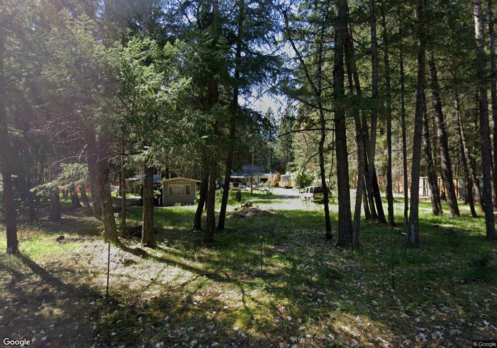
789 Queens Branch Rd Rogue River, OR 97537
Estimated Value: $452,044 - $589,000
1
Bed
2
Baths
1,920
Sq Ft
$272/Sq Ft
Est. Value
About This Home
This home is located at 789 Queens Branch Rd, Rogue River, OR 97537 and is currently estimated at $522,348, approximately $272 per square foot. 789 Queens Branch Rd is a home located in Jackson County with nearby schools including Rogue River Elementary School, South Valley Academy, and Rogue River Junior/Senior High School.
Ownership History
Date
Name
Owned For
Owner Type
Purchase Details
Closed on
Feb 1, 2017
Sold by
Nolan Thomas K
Bought by
Nolan Thomas K and Nolan Sarah V
Current Estimated Value
Home Financials for this Owner
Home Financials are based on the most recent Mortgage that was taken out on this home.
Original Mortgage
$155,000
Outstanding Balance
$128,691
Interest Rate
4.3%
Mortgage Type
New Conventional
Estimated Equity
$393,657
Purchase Details
Closed on
Aug 27, 2012
Sold by
Ford Terry and Ford Jacqueline
Bought by
Nolan Thomas K
Home Financials for this Owner
Home Financials are based on the most recent Mortgage that was taken out on this home.
Original Mortgage
$50,000
Interest Rate
3.49%
Mortgage Type
Seller Take Back
Purchase Details
Closed on
Nov 5, 2010
Sold by
Ford Terry
Bought by
Ford Terry and Ford Jacqueline
Create a Home Valuation Report for This Property
The Home Valuation Report is an in-depth analysis detailing your home's value as well as a comparison with similar homes in the area
Home Values in the Area
Average Home Value in this Area
Purchase History
| Date | Buyer | Sale Price | Title Company |
|---|---|---|---|
| Nolan Thomas K | -- | Ticor Title Company Of Or | |
| Nolan Thomas K | $67,000 | First American | |
| Ford Terry | -- | None Available |
Source: Public Records
Mortgage History
| Date | Status | Borrower | Loan Amount |
|---|---|---|---|
| Open | Nolan Thomas K | $155,000 | |
| Closed | Nolan Thomas K | $50,000 |
Source: Public Records
Tax History Compared to Growth
Tax History
| Year | Tax Paid | Tax Assessment Tax Assessment Total Assessment is a certain percentage of the fair market value that is determined by local assessors to be the total taxable value of land and additions on the property. | Land | Improvement |
|---|---|---|---|---|
| 2025 | $2,456 | $243,960 | $94,870 | $149,090 |
| 2024 | $2,456 | $236,860 | $120,940 | $115,920 |
| 2023 | $2,375 | $229,970 | $117,420 | $112,550 |
| 2022 | $2,325 | $229,970 | $117,420 | $112,550 |
| 2021 | $2,257 | $223,280 | $114,010 | $109,270 |
| 2020 | $2,203 | $216,780 | $110,690 | $106,090 |
| 2019 | $2,149 | $204,340 | $104,340 | $100,000 |
| 2018 | $2,094 | $198,390 | $101,300 | $97,090 |
| 2017 | $2,046 | $198,390 | $101,300 | $97,090 |
| 2016 | $1,701 | $158,550 | $95,500 | $63,050 |
| 2015 | $1,649 | $158,550 | $95,500 | $63,050 |
| 2014 | $1,595 | $149,460 | $90,020 | $59,440 |
Source: Public Records
Map
Nearby Homes
- 255 Queens Branch Rd
- 149 Queens Branch Rd
- 7435 W Evans Creek Rd
- 7118 Redthorne Rd
- 7310 W Evans Creek Rd
- 835 Minthorne Rd
- 1205 Pine Grove Rd
- 9184 W Evans Creek Rd
- 643 Covered Bridge Rd
- 1105 Pine Grove Rd
- 1475 Pleasant Creek Rd
- 8951 E Evans Creek Rd Unit 14
- 6324 E Evans Creek Rd
- 798 Covered Bridge Rd
- 8797 W Evans Creek Rd
- 5406 E Evans Creek Rd
- 9820 E Evans Creek Rd
- 256 Deruyte Way
- 254 Deruyte Way
- 252 Deruyte Way
- 805 Queens Branch Rd
- 731 Queens Branch Rd
- 805 Queens Branch
- 792 Queens Branch Rd
- 721 Queens Branch Rd
- 697 Queens Branch Rd
- 706 Queens Branch Rd
- 750 Queens Branch Rd
- 663 Queens Branch Rd
- 904 Queens Branch Rd
- 668 Queens Branch Rd
- 770 Queens Branch Rd
- 1025 Queens Branch Rd
- 820 Queens Branch Rd
- 2465 Pine Grove
- 620 Queens Branch Rd
- 1038 Queens Branch Rd
- 2465 Pine Grove Rd
- 592 Queens Branch Rd
- 900 Queens Branch Rd