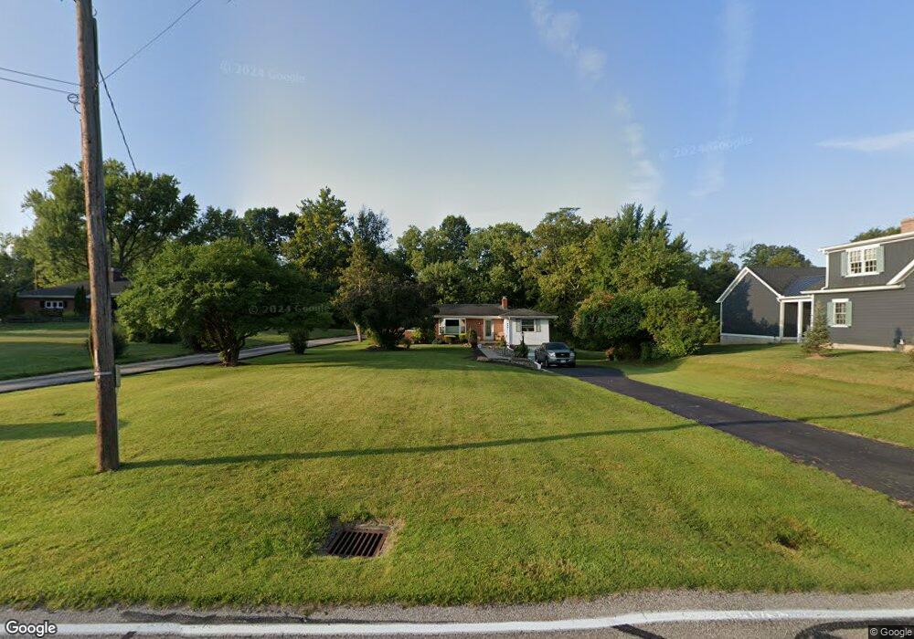
7891 Woodruff Rd Cincinnati, OH 45255
Estimated Value: $284,000 - $383,000
3
Beds
2
Baths
1,477
Sq Ft
$212/Sq Ft
Est. Value
About This Home
This home is located at 7891 Woodruff Rd, Cincinnati, OH 45255 and is currently estimated at $312,535, approximately $211 per square foot. 7891 Woodruff Rd is a home located in Hamilton County with nearby schools including Ayer Elementary School, Nagel Middle School, and Anderson High School.
Ownership History
Date
Name
Owned For
Owner Type
Purchase Details
Closed on
Oct 28, 2005
Sold by
Kelly Brian T
Bought by
Pharo Donald R
Current Estimated Value
Home Financials for this Owner
Home Financials are based on the most recent Mortgage that was taken out on this home.
Original Mortgage
$117,200
Outstanding Balance
$62,086
Interest Rate
5.89%
Mortgage Type
Unknown
Estimated Equity
$250,449
Purchase Details
Closed on
Jun 28, 2001
Sold by
Buns Kenneth W and Buns Martha E
Bought by
Kelly Brian T
Home Financials for this Owner
Home Financials are based on the most recent Mortgage that was taken out on this home.
Original Mortgage
$99,200
Interest Rate
7.27%
Purchase Details
Closed on
May 15, 1995
Sold by
Kauscher Walter H and Fangman Mary Lee
Bought by
Buns Kenneth W and Buns Martha E
Create a Home Valuation Report for This Property
The Home Valuation Report is an in-depth analysis detailing your home's value as well as a comparison with similar homes in the area
Home Values in the Area
Average Home Value in this Area
Purchase History
| Date | Buyer | Sale Price | Title Company |
|---|---|---|---|
| Pharo Donald R | $145,000 | None Available | |
| Kelly Brian T | $124,000 | -- | |
| Buns Kenneth W | -- | -- |
Source: Public Records
Mortgage History
| Date | Status | Borrower | Loan Amount |
|---|---|---|---|
| Open | Pharo Donald R | $117,200 | |
| Closed | Kelly Brian T | $99,200 |
Source: Public Records
Tax History
| Year | Tax Paid | Tax Assessment Tax Assessment Total Assessment is a certain percentage of the fair market value that is determined by local assessors to be the total taxable value of land and additions on the property. | Land | Improvement |
|---|---|---|---|---|
| 2025 | $4,002 | $73,990 | $15,050 | $58,940 |
| 2024 | $3,898 | $73,990 | $15,050 | $58,940 |
| 2023 | $3,754 | $73,990 | $15,050 | $58,940 |
| 2022 | $2,917 | $53,558 | $9,888 | $43,670 |
| 2021 | $2,838 | $53,558 | $9,888 | $43,670 |
| 2020 | $2,884 | $53,558 | $9,888 | $43,670 |
| 2019 | $2,737 | $47,397 | $8,750 | $38,647 |
| 2018 | $2,565 | $47,397 | $8,750 | $38,647 |
| 2017 | $2,413 | $47,397 | $8,750 | $38,647 |
| 2016 | $2,006 | $40,208 | $8,925 | $31,283 |
| 2015 | $1,955 | $40,208 | $8,925 | $31,283 |
| 2014 | $1,957 | $40,208 | $8,925 | $31,283 |
| 2013 | $1,805 | $39,421 | $8,750 | $30,671 |
Source: Public Records
Map
Nearby Homes
- 7988 Woodruff Rd
- 8016 Hignite Ct
- 7978 Nagel Village Dr
- 881 Asbury Rd
- 792 Farmsworth Ct
- 849 Shawnee Trace Ct
- 7754 Forest Rd
- 559 Asbury Rd
- 684 Balbriggan Ct
- 854 Woodlyn Dr S
- 906 Woodlyn Dr N Unit 4
- 1125 Wittshire Ln Unit 130
- 965 Woodlyn Dr N
- 8303 Tidewater Ct
- 1083 Stratford Hill Dr
- 1357 Oak Ct
- 1363 Oak Ct
- 136 Coldstream Villa Dr
- 807 Nordyke Rd
- 8512 Prilla Ln
- 7903 Woodruff Rd
- 7881 Woodruff Rd
- 7895 Woodruff Rd
- 7867 Woodruff Rd
- 7896 Woodruff Rd
- 7884 Woodruff Rd
- 7908 Woodruff Rd
- 7919 Woodruff Rd
- 7929 Woodruff Rd
- 7876 Woodruff Rd
- 7855 Woodruff Rd
- 7868 Woodruff Rd
- 7939 Woodruff Rd
- 7914 Woodruff Rd
- 7858 Woodruff Rd
- 7910 1/2 Woodruff Rd
- 7910 Woodruff Rd
- 778 Strathcoma Dr
- 7839 Woodruff Rd
- 7848 Woodruff Rd