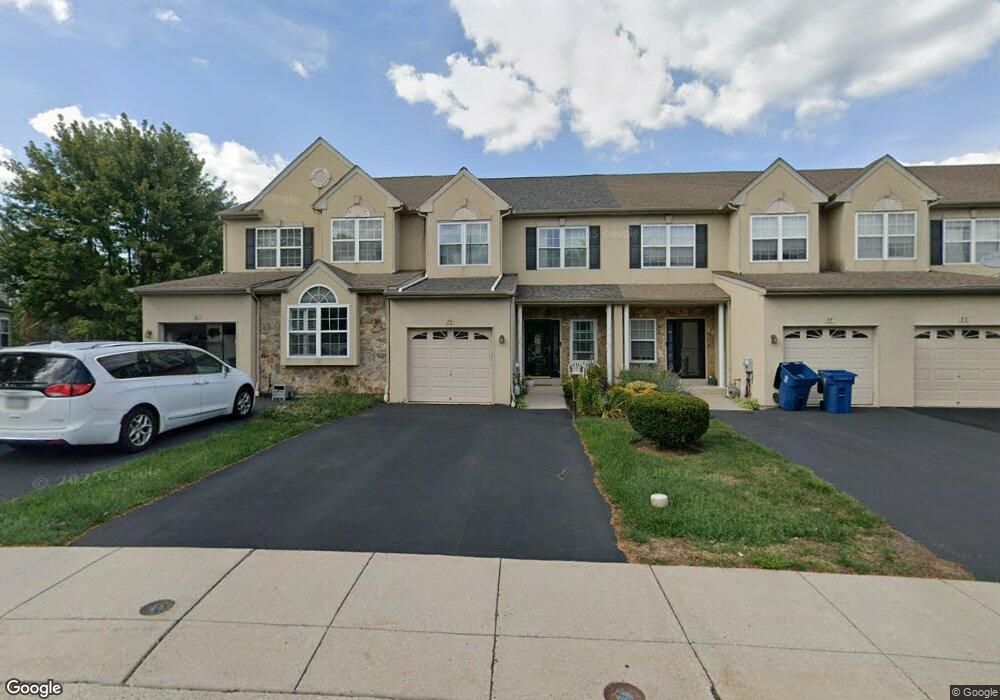
79 Arbor Cir Colmar, PA 18915
Estimated Value: $490,359 - $546,000
3
Beds
3
Baths
1,993
Sq Ft
$259/Sq Ft
Est. Value
About This Home
This home is located at 79 Arbor Cir, Colmar, PA 18915 and is currently estimated at $516,340, approximately $259 per square foot. 79 Arbor Cir is a home located in Montgomery County with nearby schools including Bridle Path Elementary School, Penndale Middle School, and North Penn Senior High School.
Ownership History
Date
Name
Owned For
Owner Type
Purchase Details
Closed on
Aug 15, 2012
Sold by
Trivedi Dipty and Mehta Amit
Bought by
Mehta Amit and Trivedi Dipty
Current Estimated Value
Home Financials for this Owner
Home Financials are based on the most recent Mortgage that was taken out on this home.
Original Mortgage
$229,000
Outstanding Balance
$157,818
Interest Rate
3.56%
Estimated Equity
$358,522
Purchase Details
Closed on
Nov 2, 2006
Sold by
Murdoch William B
Bought by
Mehta Amit and Trivedi Dipty
Home Financials for this Owner
Home Financials are based on the most recent Mortgage that was taken out on this home.
Original Mortgage
$263,950
Interest Rate
6.33%
Purchase Details
Closed on
May 13, 2004
Sold by
Arbors Residential Lp
Bought by
Peco Energy Co and Verizon Pa Inc
Create a Home Valuation Report for This Property
The Home Valuation Report is an in-depth analysis detailing your home's value as well as a comparison with similar homes in the area
Home Values in the Area
Average Home Value in this Area
Purchase History
| Date | Buyer | Sale Price | Title Company |
|---|---|---|---|
| Mehta Amit | -- | None Available | |
| Mehta Amit | $329,990 | None Available | |
| Peco Energy Co | -- | Wheatland Title Guaranty Co |
Source: Public Records
Mortgage History
| Date | Status | Borrower | Loan Amount |
|---|---|---|---|
| Open | Mehta Amit | $229,000 | |
| Closed | Mehta Amit | $263,950 |
Source: Public Records
Tax History
| Year | Tax Paid | Tax Assessment Tax Assessment Total Assessment is a certain percentage of the fair market value that is determined by local assessors to be the total taxable value of land and additions on the property. | Land | Improvement |
|---|---|---|---|---|
| 2025 | $6,906 | $172,500 | -- | -- |
| 2024 | $6,906 | $172,500 | -- | -- |
| 2023 | $6,610 | $172,500 | $0 | $0 |
| 2022 | $6,395 | $172,500 | $0 | $0 |
| 2021 | $6,213 | $172,500 | $0 | $0 |
| 2020 | $6,066 | $172,500 | $0 | $0 |
| 2019 | $5,965 | $172,500 | $0 | $0 |
Source: Public Records
Map
Nearby Homes
- 52 Arbor Cir
- 2943 E Walnut St Unit 59
- 83 Bethlehem Pike Unit 1306- HAMILTON PLAN
- 83 Bethlehem Pike Unit 1405
- 83 Bethlehem Pike Unit 1111
- 83 Bethlehem Pike Unit 1213 FIRESTONE
- 83 Bethlehem Pike Unit 1106- MADISON PLAN
- 83 Bethlehem Pike Unit 1102- IVY FLOORPLAN
- 83 Bethlehem Pike Unit 1109 LEWIS FLOORPLAN
- 000 Lenape Dr
- 2732 Valley Woods Rd
- 4595 County Line Rd
- 210 Pinecrest Ln
- 323 W Boulder Dr
- 534 Airy Ave
- 419 Country Club Dr
- 5 Fortuna Dr
- 6 Fortuna Dr
- 9 Fortuna Dr
- 8 Fortuna Dr
Your Personal Tour Guide
Ask me questions while you tour the home.