79 Arrowhead Point Cedar Grove, TN 38321
Estimated Value: $267,000 - $430,000
2
Beds
2
Baths
1,425
Sq Ft
$237/Sq Ft
Est. Value
About This Home
This home is located at 79 Arrowhead Point, Cedar Grove, TN 38321 and is currently estimated at $338,321, approximately $237 per square foot. 79 Arrowhead Point is a home located in Carroll County with nearby schools including West Carroll Primary School, West Carroll Elementary School, and West Carroll Junior/Senior High School.
Ownership History
Date
Name
Owned For
Owner Type
Purchase Details
Closed on
Sep 30, 2021
Sold by
Wayer Jerome S and The Jerome S Wayer Trust
Bought by
Hendrickson David and Hendrickson Jodi
Current Estimated Value
Home Financials for this Owner
Home Financials are based on the most recent Mortgage that was taken out on this home.
Original Mortgage
$185,000
Outstanding Balance
$168,336
Interest Rate
2.8%
Mortgage Type
New Conventional
Estimated Equity
$169,985
Purchase Details
Closed on
Sep 17, 2015
Sold by
Wayer Jerry
Bought by
Wayer Jerome S and Wayer Jerome S Trust
Create a Home Valuation Report for This Property
The Home Valuation Report is an in-depth analysis detailing your home's value as well as a comparison with similar homes in the area
Home Values in the Area
Average Home Value in this Area
Purchase History
| Date | Buyer | Sale Price | Title Company |
|---|---|---|---|
| Hendrickson David | $235,000 | None Available | |
| Wayer Jerome S | -- | -- |
Source: Public Records
Mortgage History
| Date | Status | Borrower | Loan Amount |
|---|---|---|---|
| Open | Hendrickson David | $185,000 |
Source: Public Records
Tax History Compared to Growth
Tax History
| Year | Tax Paid | Tax Assessment Tax Assessment Total Assessment is a certain percentage of the fair market value that is determined by local assessors to be the total taxable value of land and additions on the property. | Land | Improvement |
|---|---|---|---|---|
| 2025 | $1,003 | $66,475 | $0 | $0 |
| 2024 | $1,003 | $38,075 | $11,200 | $26,875 |
| 2023 | $1,003 | $38,075 | $11,200 | $26,875 |
| 2022 | $1,003 | $38,075 | $11,200 | $26,875 |
| 2021 | $538 | $38,075 | $11,200 | $26,875 |
| 2020 | $1,003 | $38,075 | $11,200 | $26,875 |
| 2019 | $1,216 | $41,925 | $16,700 | $25,225 |
| 2018 | $1,216 | $41,925 | $16,700 | $25,225 |
| 2017 | $1,216 | $41,925 | $16,700 | $25,225 |
| 2016 | $1,781 | $41,925 | $16,700 | $25,225 |
| 2015 | $1,257 | $41,925 | $16,700 | $25,225 |
| 2014 | $1,365 | $41,925 | $16,700 | $25,225 |
| 2013 | $1,365 | $44,169 | $0 | $0 |
Source: Public Records
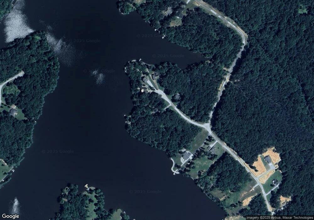
Map
Nearby Homes
- 63 Arrowhead Point
- 997 Strike King Dr
- 1023 Strike King Dr
- 0 Excalibur Trail (Lot 255 256)
- 983 Strike King Dr
- 400 Strike King Dr
- 102 Excalibur Trail
- 100 Excalibur Trail
- 239 Excalibur Trail
- 1471 Excalibur Trail
- 237 Excalibur Trail
- 139 Zara Spook Dr
- 234 Excalibur Trail
- 297 Zara Spook Dr
- 191 Strike King Dr
- 63 Arrowhead (Lot 172 173) Point
- 95 Arrowhead Point
- 101 Arrowhead Point
- 45 Arrowhead Point
- 76
- 76 Arrowhead Point
- 105 Arrowhead Point
- 104 Arrowhead Point
- 10 Arrowhead Point
- 920 Strike King Dr
- 0 Strike King Dr (Lot#197)
- 986 Strike King Dr
- 986 Strike King Dr (Lot#177)
- 820 Strike King Dr (Lot162)
- 820 Strike King Dr
- 990 Strike King Dr
- 990 Strike King Dr Unit 178
- 895 Strike King Dr
- 991 Strike King Dr
- 700 Strike King Dr