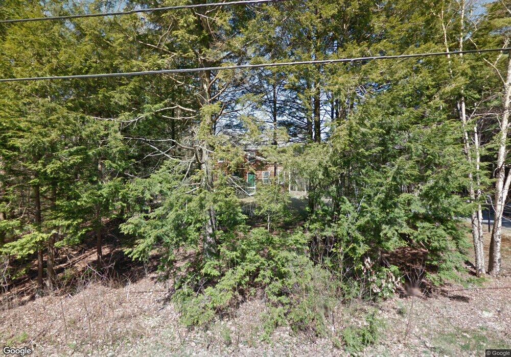
79 Baker Rd Freeport, ME 04032
Estimated Value: $550,000 - $672,000
4
Beds
2
Baths
1,778
Sq Ft
$340/Sq Ft
Est. Value
About This Home
This home is located at 79 Baker Rd, Freeport, ME 04032 and is currently estimated at $604,840, approximately $340 per square foot. 79 Baker Rd is a home located in Cumberland County with nearby schools including Morse Street School, Mast Landing School, and Freeport Middle School.
Create a Home Valuation Report for This Property
The Home Valuation Report is an in-depth analysis detailing your home's value as well as a comparison with similar homes in the area
Home Values in the Area
Average Home Value in this Area
Tax History
| Year | Tax Paid | Tax Assessment Tax Assessment Total Assessment is a certain percentage of the fair market value that is determined by local assessors to be the total taxable value of land and additions on the property. | Land | Improvement |
|---|---|---|---|---|
| 2025 | $5,759 | $415,800 | $156,200 | $259,600 |
| 2024 | $5,452 | $408,400 | $148,800 | $259,600 |
| 2023 | $4,960 | $360,700 | $135,300 | $225,400 |
| 2022 | $4,747 | $347,800 | $122,400 | $225,400 |
| 2021 | $4,512 | $338,000 | $112,600 | $225,400 |
| 2020 | $4,364 | $311,700 | $104,200 | $207,500 |
| 2019 | $4,168 | $291,500 | $98,400 | $193,100 |
| 2018 | $4,106 | $272,800 | $89,900 | $182,900 |
| 2017 | $3,923 | $262,400 | $87,900 | $174,500 |
| 2016 | $3,865 | $244,600 | $83,100 | $161,500 |
Source: Public Records
Map
Nearby Homes
Your Personal Tour Guide
Ask me questions while you tour the home.