79 Berkley St Bethlehem, NH 03574
Estimated Value: $402,000 - $417,000
3
Beds
2
Baths
2,174
Sq Ft
$189/Sq Ft
Est. Value
About This Home
This home is located at 79 Berkley St, Bethlehem, NH 03574 and is currently estimated at $410,355, approximately $188 per square foot. 79 Berkley St is a home with nearby schools including Bethlehem Elementary School, Profile Junior High School, and Profile Senior High School.
Ownership History
Date
Name
Owned For
Owner Type
Purchase Details
Closed on
Jul 12, 2006
Sold by
Kerr David H and Kerr Cheryl B
Bought by
Lecuyer Scott T and Lecuyer Cynthia G
Current Estimated Value
Home Financials for this Owner
Home Financials are based on the most recent Mortgage that was taken out on this home.
Original Mortgage
$218,000
Interest Rate
6.71%
Create a Home Valuation Report for This Property
The Home Valuation Report is an in-depth analysis detailing your home's value as well as a comparison with similar homes in the area
Home Values in the Area
Average Home Value in this Area
Purchase History
| Date | Buyer | Sale Price | Title Company |
|---|---|---|---|
| Lecuyer Scott T | $338,000 | -- |
Source: Public Records
Mortgage History
| Date | Status | Borrower | Loan Amount |
|---|---|---|---|
| Open | Lecuyer Scott T | $200,000 | |
| Closed | Lecuyer Scott T | $218,000 |
Source: Public Records
Tax History
| Year | Tax Paid | Tax Assessment Tax Assessment Total Assessment is a certain percentage of the fair market value that is determined by local assessors to be the total taxable value of land and additions on the property. | Land | Improvement |
|---|---|---|---|---|
| 2024 | $6,400 | $372,500 | $87,100 | $285,400 |
| 2023 | $5,748 | $372,500 | $87,100 | $285,400 |
| 2022 | $4,436 | $185,700 | $27,500 | $158,200 |
| 2021 | $4,551 | $183,600 | $27,500 | $156,100 |
| 2020 | $4,627 | $183,600 | $27,500 | $156,100 |
| 2019 | $4,908 | $183,600 | $27,500 | $156,100 |
| 2018 | $4,768 | $183,600 | $27,500 | $156,100 |
| 2017 | $4,872 | $158,600 | $30,400 | $128,200 |
| 2016 | $4,355 | $158,600 | $30,400 | $128,200 |
| 2015 | $4,698 | $158,600 | $30,400 | $128,200 |
| 2013 | $4,528 | $158,600 | $30,400 | $128,200 |
Source: Public Records
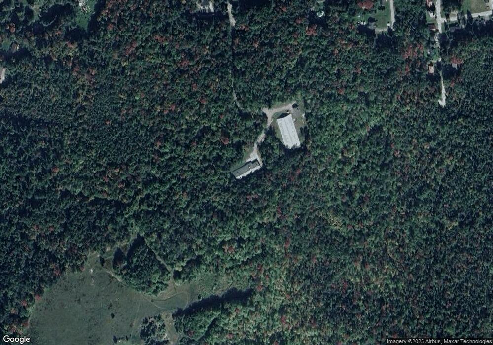
Map
Nearby Homes
- 68 Berkley St
- 53 Berkley St
- 82 Berkley St
- 38 Berkley St
- 38 Berkley St
- 82 Strawberry Hill St
- 66 Strawberry Hill St
- 92 Strawberry Hill St
- 29 Berkley St
- 42 Strawberry Hill St
- 73 Strawberry Hill St
- 87 Strawberry Hill St
- 73 Strawberry Hill Rd
- 59 Strawberry Hill St
- 34 Strawberry Hill St
- 60 Pinewood Ave
- 1884 Main St
- 92 Pinewood Ave
- 94 Pinewood Ave
- 30 Arlington St
Your Personal Tour Guide
Ask me questions while you tour the home.