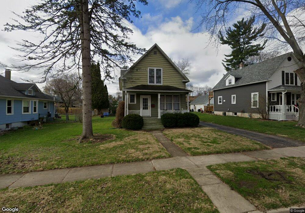
79 Browning Ave West Dundee, IL 60118
Estimated Value: $330,000 - $341,000
4
Beds
2
Baths
1,550
Sq Ft
$218/Sq Ft
Est. Value
About This Home
This home is located at 79 Browning Ave, West Dundee, IL 60118 and is currently estimated at $337,295, approximately $217 per square foot. 79 Browning Ave is a home located in Kane County with nearby schools including Dundee Highlands Elementary School, Dundee Middle School, and Dundee-Crown High School.
Ownership History
Date
Name
Owned For
Owner Type
Purchase Details
Closed on
Dec 29, 2017
Sold by
Kowalyse Dlae and Kowalyse Renee
Bought by
Burress Christopher J
Current Estimated Value
Home Financials for this Owner
Home Financials are based on the most recent Mortgage that was taken out on this home.
Original Mortgage
$189,000
Outstanding Balance
$160,139
Interest Rate
4.37%
Mortgage Type
New Conventional
Estimated Equity
$177,156
Purchase Details
Closed on
Nov 18, 1994
Sold by
Brown Terry C and Brown Susan P
Bought by
Kowalczyk Dale and Kowalczyk Renee Lynn
Home Financials for this Owner
Home Financials are based on the most recent Mortgage that was taken out on this home.
Original Mortgage
$120,175
Interest Rate
8%
Create a Home Valuation Report for This Property
The Home Valuation Report is an in-depth analysis detailing your home's value as well as a comparison with similar homes in the area
Home Values in the Area
Average Home Value in this Area
Purchase History
| Date | Buyer | Sale Price | Title Company |
|---|---|---|---|
| Burress Christopher J | $210,000 | First American Title | |
| Kowalczyk Dale | $126,500 | Chicago Title Insurance Co |
Source: Public Records
Mortgage History
| Date | Status | Borrower | Loan Amount |
|---|---|---|---|
| Open | Burress Christopher J | $189,000 | |
| Previous Owner | Kowalczyk Dale | $120,175 |
Source: Public Records
Tax History
| Year | Tax Paid | Tax Assessment Tax Assessment Total Assessment is a certain percentage of the fair market value that is determined by local assessors to be the total taxable value of land and additions on the property. | Land | Improvement |
|---|---|---|---|---|
| 2024 | $7,445 | $99,333 | $18,868 | $80,465 |
| 2023 | $6,964 | $89,377 | $16,977 | $72,400 |
| 2022 | $6,177 | $76,116 | $16,977 | $59,139 |
| 2021 | $5,952 | $71,869 | $16,030 | $55,839 |
| 2020 | $5,838 | $70,254 | $15,670 | $54,584 |
| 2019 | $5,642 | $66,693 | $14,876 | $51,817 |
| 2018 | $5,563 | $64,330 | $14,581 | $49,749 |
| 2017 | $5,285 | $60,178 | $13,640 | $46,538 |
| 2016 | $5,381 | $58,267 | $13,207 | $45,060 |
| 2015 | -- | $50,393 | $17,765 | $32,628 |
| 2014 | -- | $49,001 | $17,274 | $31,727 |
| 2013 | -- | $50,501 | $17,803 | $32,698 |
Source: Public Records
Map
Nearby Homes
- Lot 1 View St
- 601 S 2nd St
- 306 Johnson St
- 305 Oregon Ave
- 408 Jackson St
- 529 Springwood Ave
- 206 Water St
- 849 Hemlock Dr
- 1042 Chateau Bluff Ln
- 605 Barrington Ave Unit 140
- 605 Barrington Ave Unit 208
- 123 Dundee Ave
- 915 Willow Ln
- 36 River Ridge Dr
- 1 S Lincoln Ave
- 29 N Green St
- 714 Elmwood Dr
- Lot 8 Elmwood Dr
- 19 N Lincoln Ave
- 43 N Green St
- 83 Browning Ave
- 75 Browning Ave
- 87 Browning Ave
- 71 Browning Ave
- 82 Hawley Ave
- 86 Hawley Ave
- 74 Hawley Ave
- 91 Browning Ave
- 88 Hawley Ave
- 80 Browning Ave
- 84 Browning Ave
- 76 Browning Ave
- 92 Hawley Ave
- 72 Browning Ave
- 88 Browning Ave
- 95 Browning Ave
- 92 Browning Ave
- 96 Hawley Ave
- 533 View St
- 96 Browning Ave
Your Personal Tour Guide
Ask me questions while you tour the home.